The WHALE Ultra
Wasatch High Alpine Lift Event
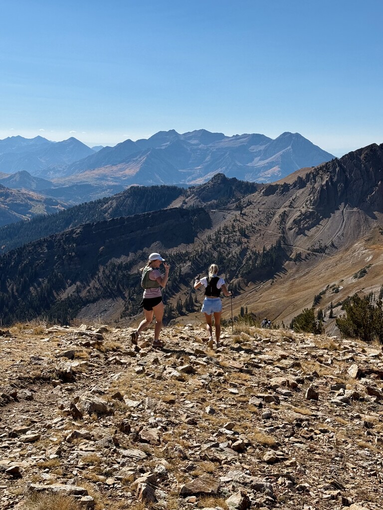
The WHALE is a 32 mile mountain 50K connecting all of the central Wasatch ski resorts: Deer Valley, Park City Mountain, Brighton, Alta, Snowbird, and Solitude. It starts and finishes at Deer Valley and has roughly 10,000 feet of climbing.
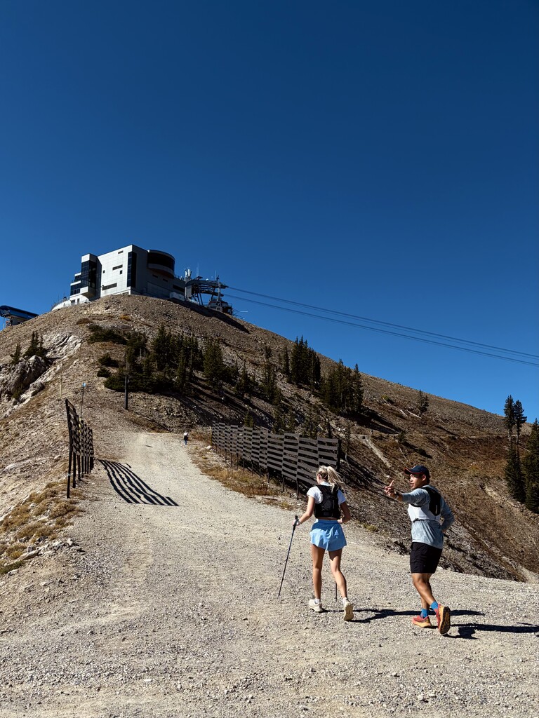
The idea is to create a way to complete a tough mountain 50K without paying a big race entry fee or needing a traditional race setup. The route passes through the ski resorts, so the lodges, base areas, and mountain roads naturally provide places to refill water, buy food, take a break, etc.
The route can be completed entirely self-supported, but it's also easy to do with friends, pacers, or a support crew. Because the route connects ski resorts, support vehicles can meet runners at multiple points along the way — including the base areas at Brighton and Solitude, the top of the Snowbird tram, the accessible summer-road areas at Alta, and the finish at Deer Valley. This makes it possible to have a support setup without needing dedicated race infrastructure or complicated trail access.
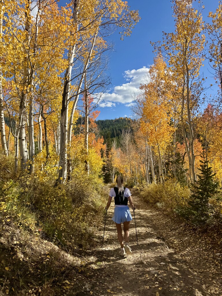
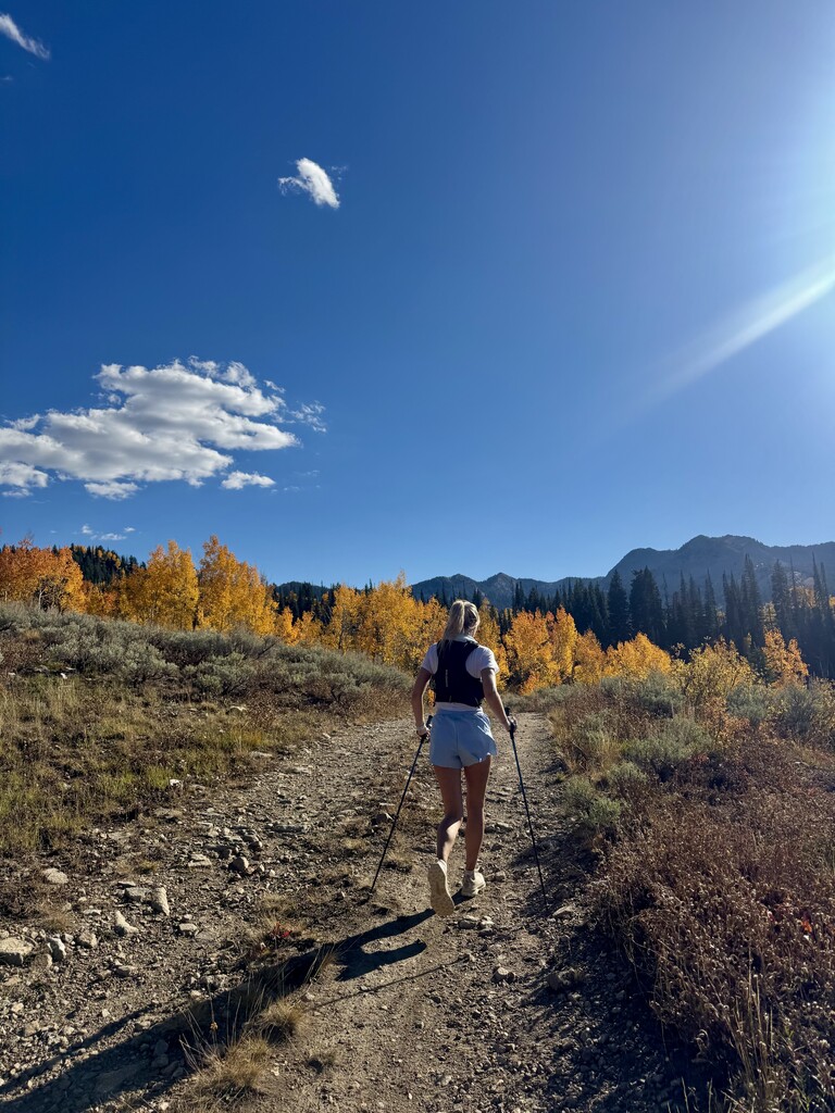
It's meant to be a challenging but approachable mountain route: the more technical terrain is generally encountered on the climbs, while the descents favor more runnable singletrack, dirt roads, and ski-area service roads. The route is best done in snow-free conditions when the ski-area trails and roads are open.
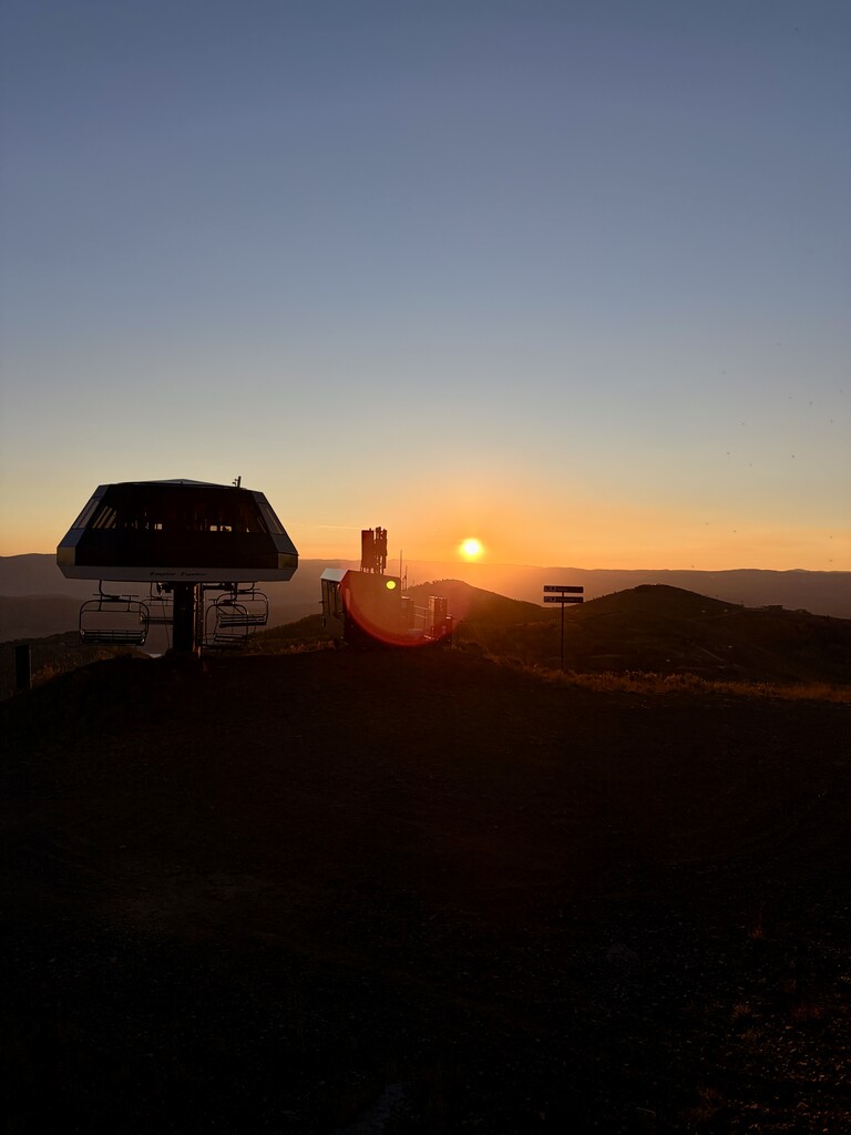
Parking is available for free at Mid-Mountain Trail parking lot on Marsac Avenue, with a short walk to the start at the base of the Empire ski lift at Deer Valley.
This is a big Wasatch 50K, using the infrastructure that's already there.
Route: Start at the base of the Empire lift at Deer Valley Resort. Empire Access, McConkey's, Io trail, Jupiter Peak trail, across Guardsman Pass Road, Clayton Peak trail, drop down into Brighton, turn right onto Snake Creek Road to the base, Catherine’s Pass trail, turn left onto Albion Campground - Catherine’s Link trail, Cecret Lake trail, East Greeley Road, Mount Baldy East trail, Hidden Peak, Mineral Basin Road, Sugarloaf Pass trail, East Greeley Road, Albion Basin Road, Patsey Marley trail, Twin Lakes Pass trail, Alta-Brighton trail, Summit Road, Raptor Road, Easy Out trail, Disc Golf Access trail, Solitude Village, across Big Cottonwood Canyon Road, Old Stage Road, Old Stage Crest Connect, Wasatch Crest Connect, Guardsman Peak trail, Jupiter Peak trail, Io trail, McConkey's, Empire Access, finish at the base of Empire lift.