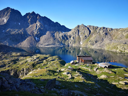
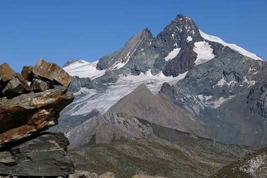
Location
Austria
Distance
46 km
Vertical Gain
3,950 m
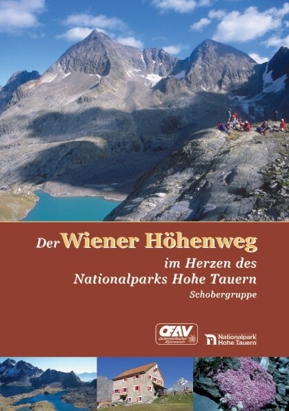
Description
GPS Track
t12155254_wiener hoehenweg.gpx51.21 KB
FKTs
Male
Mixed-gender team
| Daan Nieuwenhuis | 11h 12m 50s |
| Benni Brugger, Sonja Prünster | 13h 50m 59s |
Images
Comments
I did the Wiener Höhenweg in one day at the end of August 2020, not for a FKT, for an adventure. You can find a detailed route description (in german) and some pictures here:
http://www.strassnig.at/rad-und-laufsport/langstreckenlauf/wiener-hoehenweg-an-einem-tag