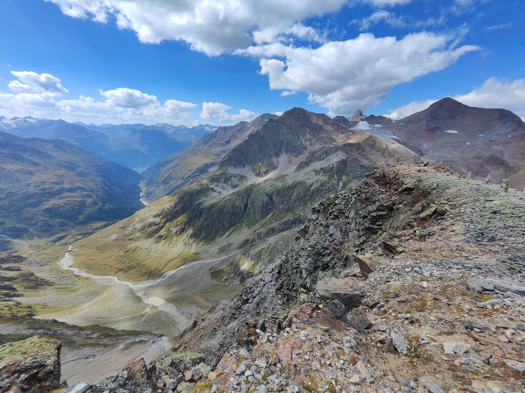
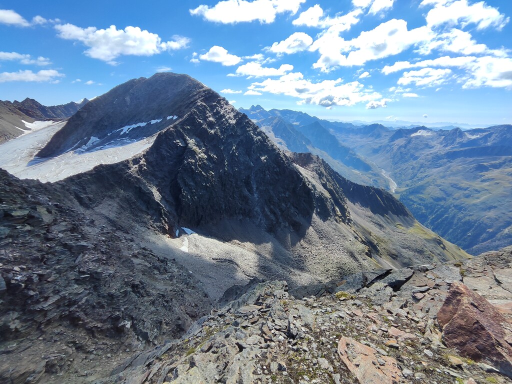
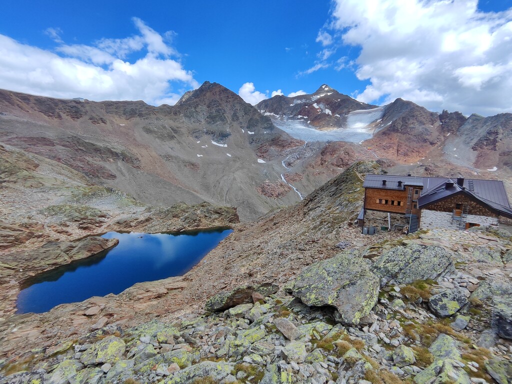
Start at the parking lot of the Gasilachkogelbahn in Sölden, from there to the Windachtal. Left up to the Kleberalm. Then up to the Söldenkogel. Then to the Hochstubai hut on the Wildkarspitze (3,173m) and to the Hoher Nebelkogel. Down the ladder to heaven and around the Warenkaregg in the direction of the Hildesheimer Hütte. Before that over the Windachferner up to the Eisjochbahn mountain station. Via the Gaiskarferner to the Hildesheimer Hütte (2,899m). From there over the Gamsplatzl to the Siegerlandhütte (2,710m). Then descent back to Sölden over the valley floor of the Windachtal.
Length: 43.5 km
Altitude pos. 3460 HM / neg. 3460 HM
----- german -------
Start am Parkplatz der Gasilachkogelbahn in Sölden, von dort ins Windachtal. Links hoch zur Kleblealm. Dann zum Söldenkogel hoch. Anschließend zur Hochstubai-Hütte auf der Wildkarspitze (3.173m) und zum Hohen Nebelkogel. Die Himmelsleiter runter und und um das Warenkaregg in Richtung Hildesheimer Hütte. Vorher über den Windachferner hoch zur Bergstation Eisjochbahn. Über den Gaiskarferner zur Hildesheimer Hütte (2.899m). Von dort über das Gamsplatzl zur Siegerlandhütte (2.710m). Danach Abstieg zurück nach Sölden über den Talboden des Windachtals.
Länge 43.5 km
Höhenmeter pos. 3460 HM / neg. : 3460 HM