Location
Colorado,
US
Distance
120 mi
Vertical Gain
11,200 ft
Description
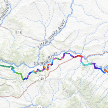
GPS Track
YVT GPX.gpx247.97 KB
FKTs
Male
Female
| Nathan Grivy | 1d 10h 24m 1s |
| Courtney Clifton | 1d 21h 51m 44s |

Comments
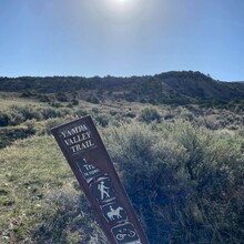
I’ll be attempting this route tomorrow evening from Craig to Dinosaur!
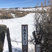
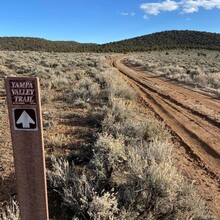
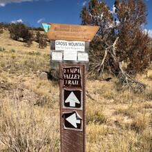
I had to drop at mile 92, right before the entrance to Dinosaur National Monument so the route is over 120 miles. I was having some calf pain that gradually got too bad to even walk it out. But I definitely want to try again! This route is very rural and exposed to the elements. Pretty much no water access so it’s not something to try unsupported. There were multiple sections where route finding skills were necessary, and I hit just about all of them in the dark. I didn’t see anyone on trail the entire time, and even on the road sections I think I only saw one car, so it’s very “out there.” Also fyi the start (or finish) point is at Echo Park campground, about 4 miles farther than the gpx shows. https://strava.app.link/7fHxRVhrFNb