Yellow "Main" Trail of the Płock Valley.
- Włocławek (MOSIR Stadium / Parking at Okręcna Street) - 0 km
- Rybnica (Lake Rybnica) - 5.2 km
- Telążna Stara – 15,5 km
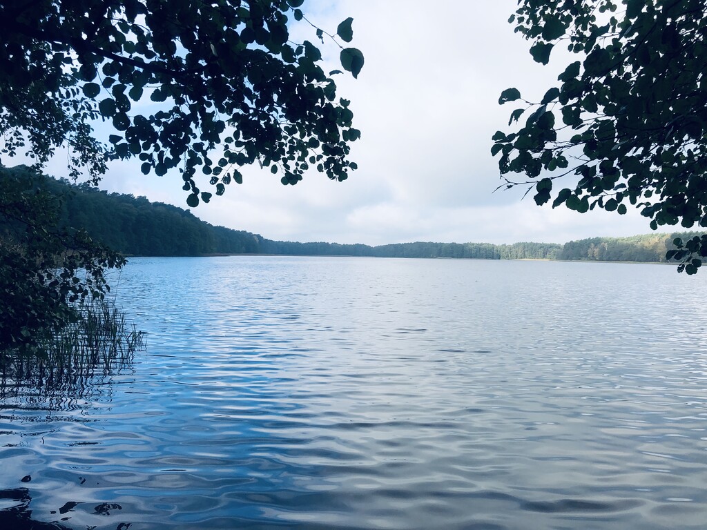
- Lake Gościąż – 26 km
- Nowy Duninów – 36 km
- Lake Sendeńskie – 50,5 km
- Łąck PKP Station – 54 km
- Lake Górskie – 59,6 km
- Lake Ciechomickie – 62 km
- Dobrzyków (School) – 70,2 km
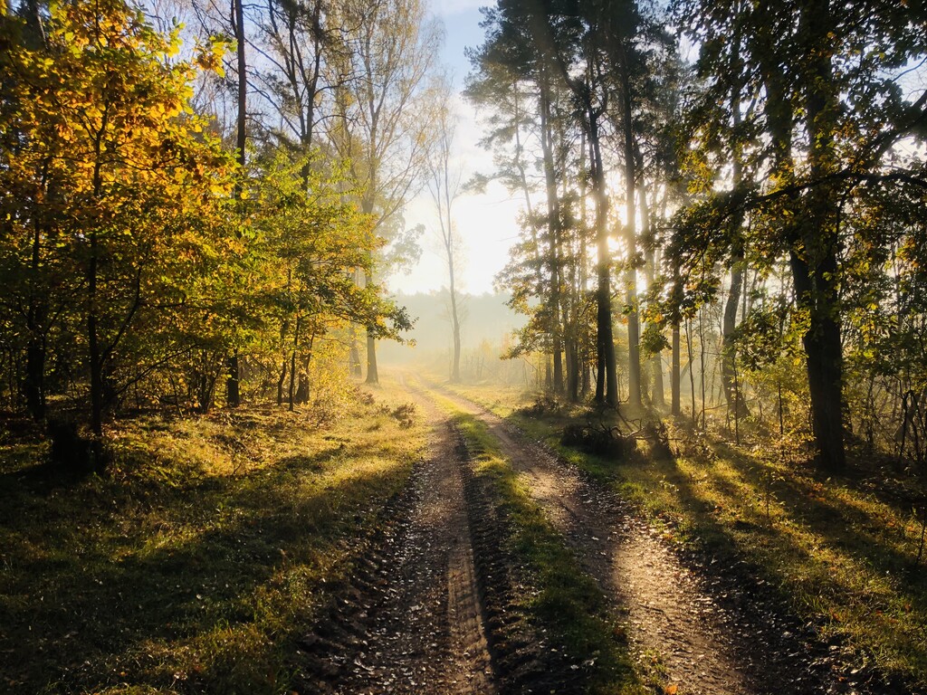
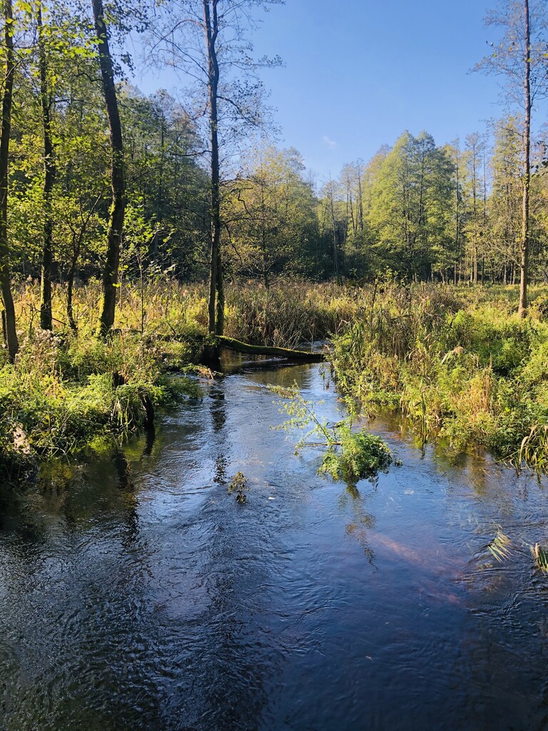
The yellow trail (also known as the Main) of the Płock Valley, connecting small city Dobrzyków with the city of Włocławek. Practically, the entire trail runs along forest roads and paths, which, combined with the multitude of lakes and backwaters, is not boring anywhere. There are very few asphalt roads. On the trail, we can still observe the diversity of nature. It is completely “running”, even in wet seasons there is no problem to run it with the so-called "dry foot". The trail can be run in both directions, it is quite flat (in the direction of Włocławek-> Dobrzyków about 150m of elevation).
The route runs through a large part of the Gostynińsko Włocławski Landscape Park, the “Łąck” Nature Reserve, the “Jastrząbek” Nature Reserve, the “Kresy” Nature Reserve, the “Guest” Nature Reserve and the Natura 2000 Area “Skrwa Lewej” and the Gostynińsko-Gąbiński Protected Area Landscape.
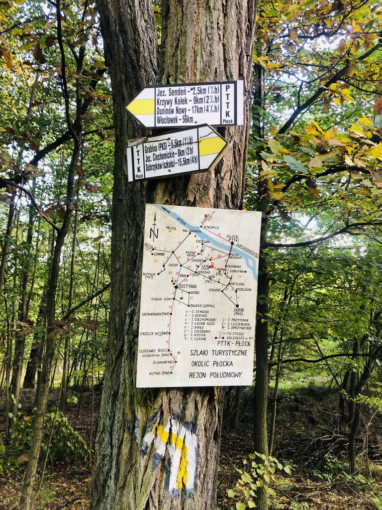
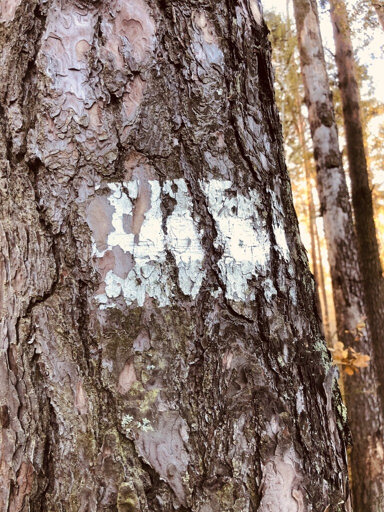
The trail in the western part (Kujawsko-Pomorskie voivodeship) is poorly marked, and in the Włocławek area, it is even bad. It is best to have a GPS tracker or an accurate map with you. Don't be surprised that sometimes you will see very old, faded markings (you have to look for them), which are completely illegible (white in color, and in Włocławek even blue?). A much better track markers starts in the second part of the route where the yellow trail marking is clearly visible. The whole route can be run "lightly" without large supplies of water or food. Along the way, we have 2 good points where we can eat something or refill water:
- Nowy Duninów - 36 km (gas station and shops),
- Lake Górskie - 59.6 km (restaurant and bar).
Unfortunately, the beginning and the end of the trail are not marked. In various materials and maps, we can find indicative points of the beginning and end of the trail (Dobrzyków, Szkoła and Włocławek Stadion MOSIR).
Not far from Warsaw (160 km), from Poznań (180 km), from Łódź (130 km) ... a very good route for one-day ultra.