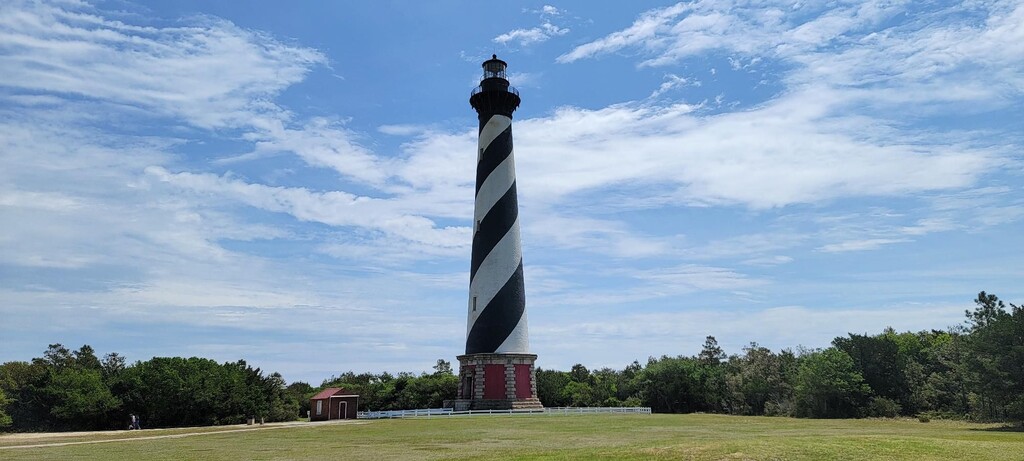
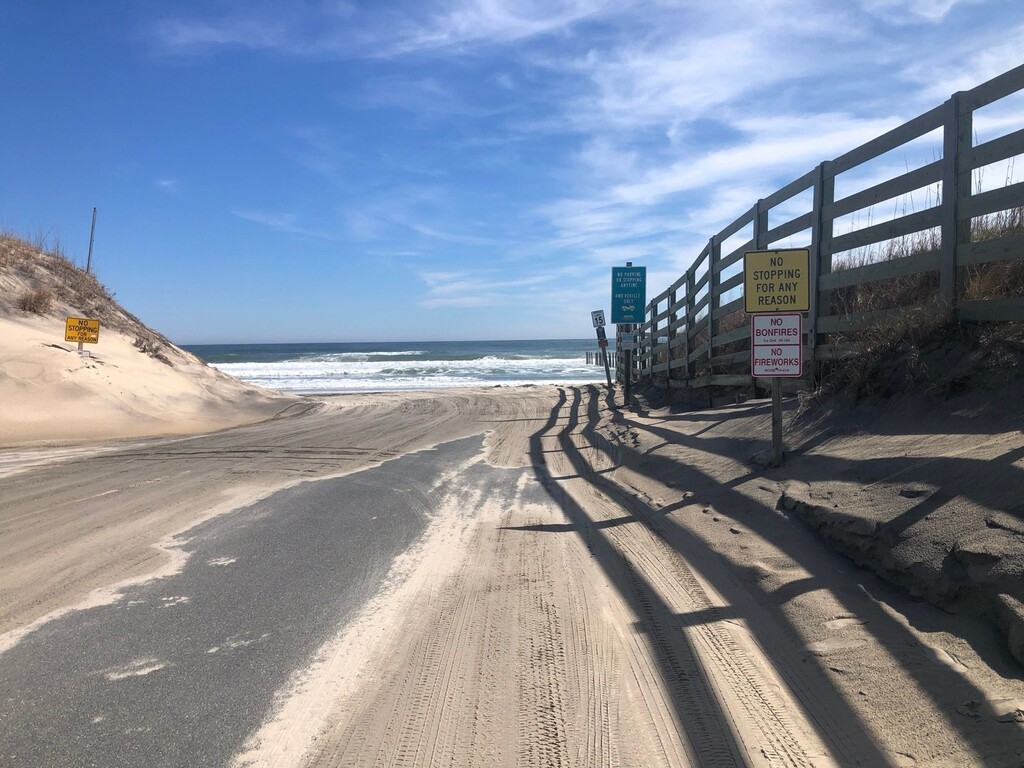
This route starts at the gate / line of pillars separating the states of Virginia and North Carolina, at Carova Beach of the Outer Banks (Just South of Virginia's False Cape State Park). Heading South, This route's first few miles are on the 4-wheel drive zone of Carova beach until turning slightly inland at Corolla Beach access road, headed towards the Currituck Lighthouse / town of Corolla via the 12. From there - the route accumulates scenic milage on bike path / sidewalk / road fully South via the 12, until reaching the base of the famous Cape Hatteras Lighthouse!


Comments
what's the record on this?
I'm assuming the lack of anything means soonest dine it. Planning to hit this early 1025 though.
Going for this one on May 10, 2025.
The end of this is rather misleading. The Cape Hatteras Lighthouse is temporarily closed, but it looks like you run to the lighthouse and then run back out to Lighthouse Road and all the way to the end onto the beach at Beach Access 43. Is that correct?
Early 2026 attempt since it’ll be much cooler and less vacation traffic.
Starting this route on January 1, 2026. I will be starting from Sandbridge, Virginia Beach VA, and the first 11 miles to the VA/NC border will be done on the beach but not count towards the FKT since the route starts at the border (even though there is no way to get to the border without going 10 miles from Corolla or 11 miles from Virginia Beach on the beach). I am hoping to finish before noon on January 2, 2026.