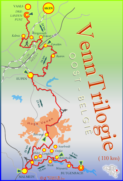
Location
Belgium
Distance
109 km
Vertical Gain
1,750 m
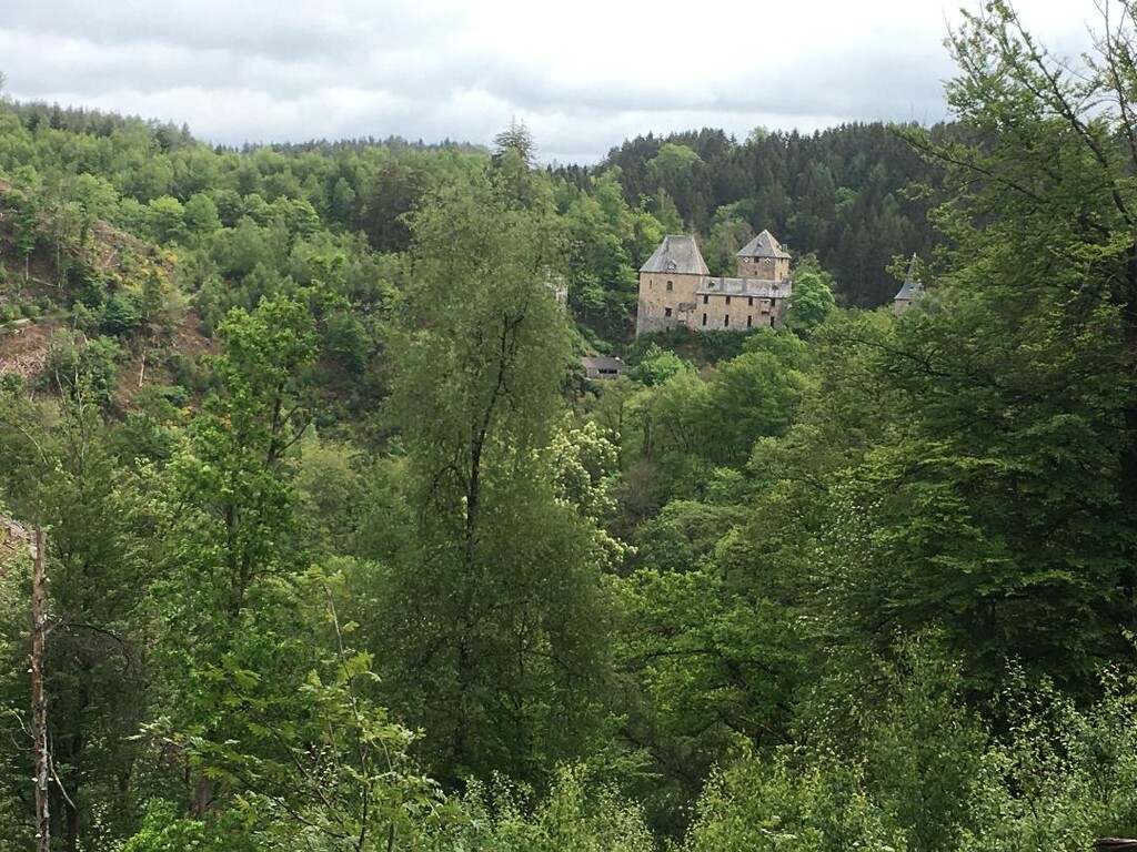
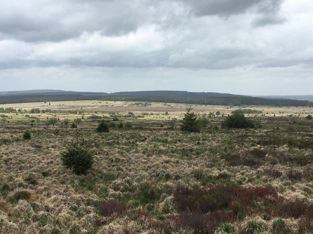
Description
GPS Track
venntrilogie-official-track.gpx397.53 KB
FKTs
Male
| Holger Lapp | 15h 23m 27s | ||||
| Tim Weißbach, Björn Niehenke | 19h 53m 12s |
| Michael Rosskamp, Julien Schreuer | 16h 20m 28s |
Images
Comments
This route came on my radar through many ways,folders,magazines,friends of friends who walked this in 3 or 4 days and when we where doing the Stauseesteig last summer. It got the label of most beautiful trail of the BeNeLux. Since the route's end or start was close to my friends bnb in gemmenich and there was already an FKT on the route from Butgenbach to Vaals, we decided to do it the way around(funny enough we (I) didnt't know that it doesn't matter which direction you run a route, only the fastest one counts as an official FKT :o)
Anyway we started in Vaals and went all the way to Butgenbach on the longest,darkest and most miserable night of 2024.
We started smoothly and dry for the first 2 hours but the rain and later the snow kicked in. Decent clothing on, so no worries here. We know this part very well and the problems with the uphills is that they are too soft to walk but then too long and a bit to steep to run, so speedhike it was. We passed a thousand little ports (stegelkes) to keep the kettle in or out but often they were of no use :o)
The plan was that in Eupen at the trainstation(where we had our car to re-supply to make it a self-supported one) Ed would join us but by that time MIchel got injured and so they just switched places, while Ed joining us on the track, Michel drove the car 20K further to re-supply again
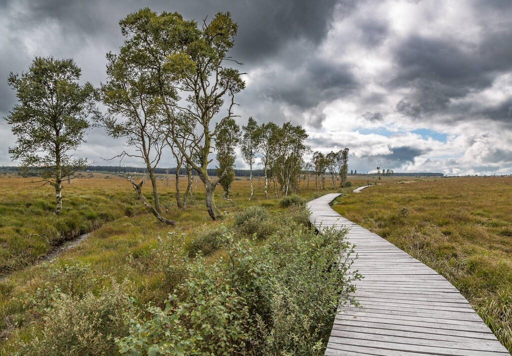
From Eupen to Malmedy there was so much water on the track that we waded for hours through creeks,mud and bogs...the better kind of misery! On the wooden paths on the Fenns there was a light layer of frost and hard frozen ice so they all were slipppery like hell.
Because of the bad weather and the very bad track we didn't eat nor drank enough, just before Malmedy this caused some problems with me almost fainting but the bakery with good pancakes and some lukewarm cappucino got me started again.
After Malmedy the route became runnable again but the ascents kept on coming despite our watches telling us differently.
After almost 22hours we finally arived at the last/first marker in Butgenbach.
It was a nice route to run but maybe it was not a good idea (but for some of us as a training it was)to do this on the longest night where wind,rain,snow and coldness came on our path, nevertheless we had good fun and set a very easy to beat non-excisting,non-counting- FKT in this direction !
Thanks for the FKT-team to answer our questions,to read through our story! Keep up the good work guys!
Dimi,Michel, Ed and Andy
The route has considerably more vertical meters than indicated. From south to north it is 2,300 m up and 2,500 m down.
Unsupported water is only available along the route in Raeren at the cemetery.
Holger