Location
Texas,
US
Distance
12.6 mi
Vertical Gain
2,683 ft
Description
FKTs
Female
| Allison Baca | 2h 4m 53s | ||||
| Regina Massingill | 2h 34m 53s |
Female
| Erin Ton | 1h 11m 25s | ||||
| Allison Baca | 1h 19m 37s | ||||
| Regina Massingill | 1h 30m 14s |
Images

Comments
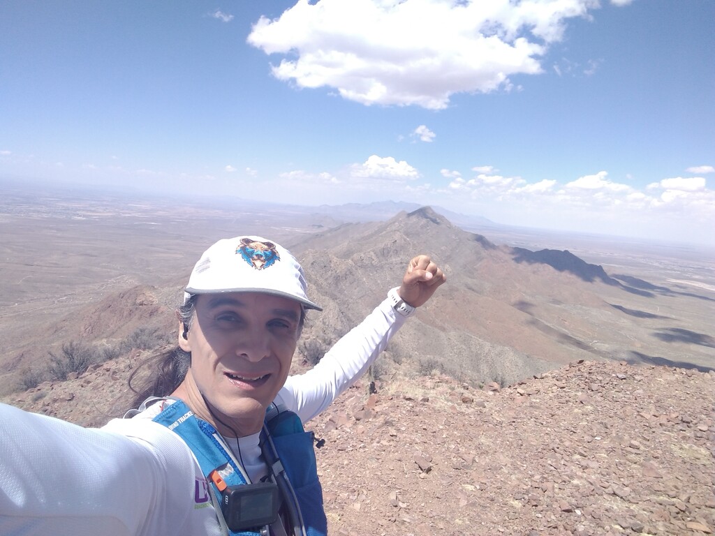
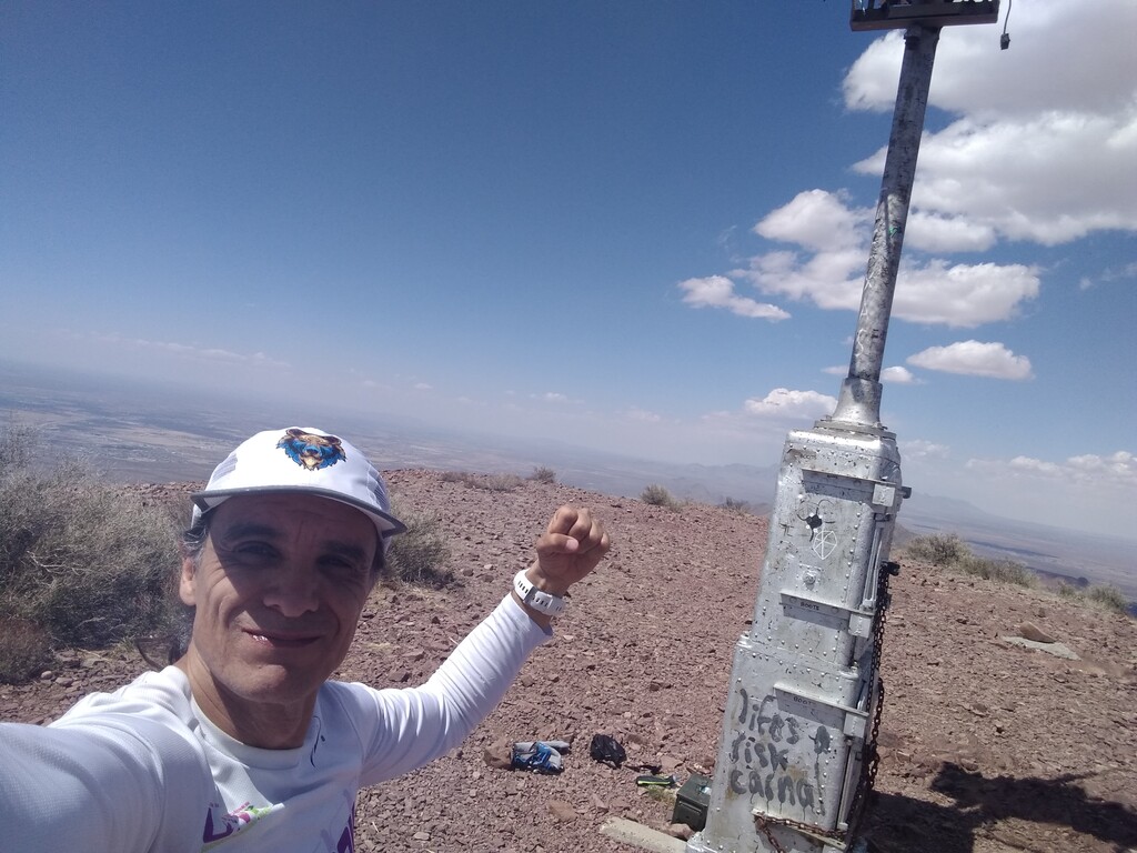
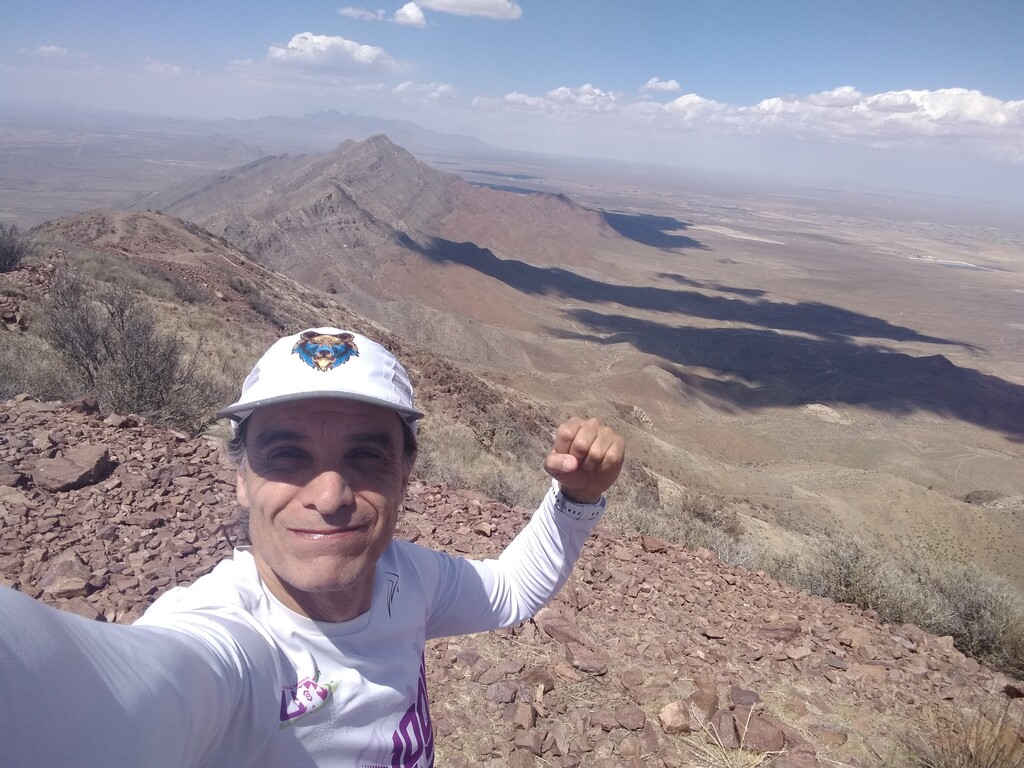
2:02:20 hrs ascent.
Go and give it a try!
https://www.suunto.com/en-us/move/luismartinez800/606901b3bf1c00633d35d…
Just posting this as a bit of a placeholder on behalf of the editors. This segment used to have several times in the unsupported men's section, both ascent and up&down. I attempted it in March of 2023, running a 1:17:41 ascent, and a 2:10:58 up&down, which would have beaten the fastest time by some margin. When I posted my FKT, the editor rightly pointed out that the uphill route has a strava segment and that the current leader, Justin Gable, has the FKT dating back to 2014. He ran a ~1:51:30 (up&down) and a ~1:02:00 ascent. The editor subsequently removed all the other male unsupported efforts. Thanks to the editors for doing the hard work to set the record straight...even if it means I need to get wayyyyy faster to get my name on the board.
There needs to be some agreement on the starting and ending point. Many of the times people have submitted here are the times from the existing Strava segments, which start part way up the trail. The listed description says start/end at Chuck Heinrich Park. I would propose that all future attempts should start and end their attempts at the arch at the end of the parking lot that signifies the trail entrance. Also, if you are going to submit the for the ascent only, you should lap your watch when you touch the radio repeater at the summit to get a precise time for the ascent portion of your run.