Location
Germany
Distance
154.6 km
Description
GPS Track
rothaarsteig.gpx85.62 KB
FKTs
Male
Mixed-gender team
| Marina Kollassa, Ole Evers, Christoph Wurm | 23h 41m 42s |
Images

Comments
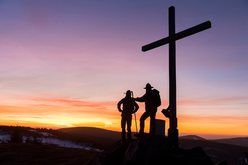
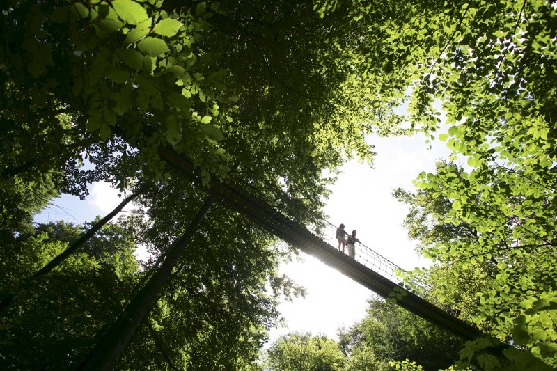
photos from www.rothaarsteig.de