
Location
Colorado,
US
Distance
50 km
Vertical Gain
18,000 ft
Description
GPS Track
La_Plata_Enchilada.gpx44.75 KB
FKTs
Male
| Graeme Smith, Zac Streeter | 20h 43m 9s |
| Brent Herring | 21h 2m 51s | ||||
| Noah Grage, Jack Van lancker | 23h 49m 4s |
Images
Comments
Jack Van Lanker and I completed, to our knowledge, the first (documented) push of this incredible endurance route. We opted for an unsupported style, carrying all our own food and water, with no stashes. I wanted to add a bit of detail and context to the existing track and description, in hopes that this route can become a bit more solidified.
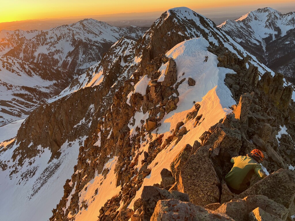
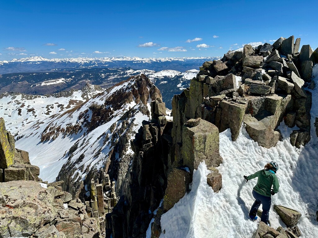
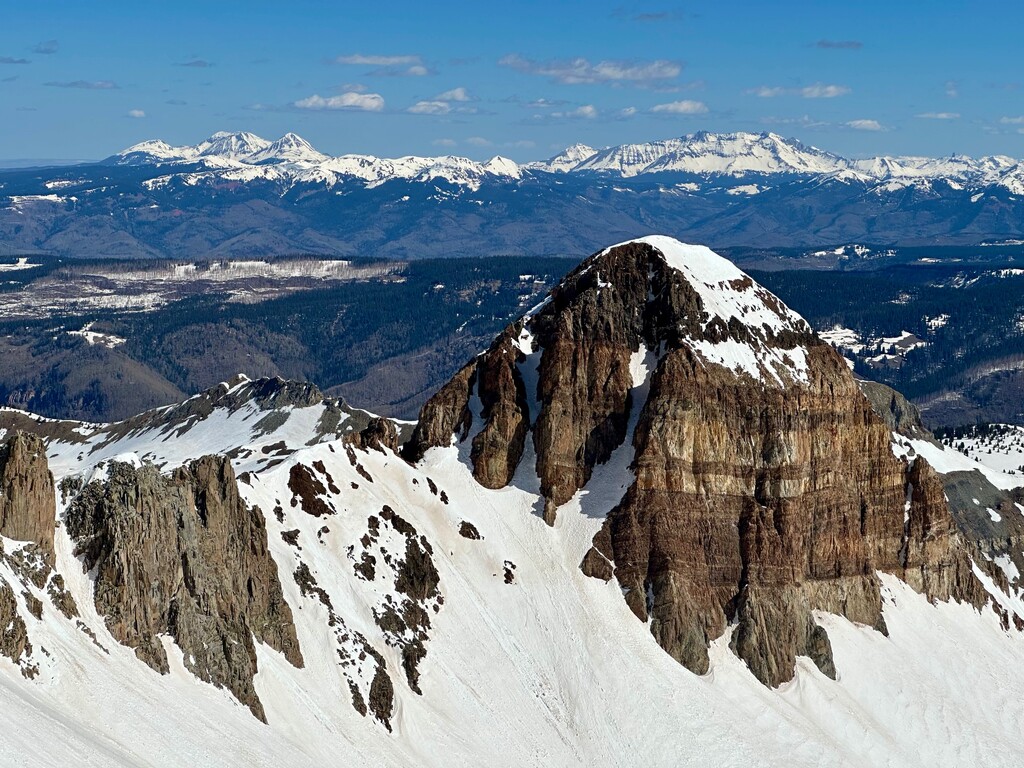
First things first, the GPS track that was uploaded to this page has a few errors. It leaves out both Sharkstooth and Kennebec peak on the track, two mountains listed in the "required" summits list. Secondly, we did not climb kennebec peak. This "peak" is more of a contrived flat unranked ridgeline north or Cumberland that adds nothing to the route. Since we couldn't find anything about it and the gps track on this page didn't show the route going over it, we felt it should be skipped. Instead, we added Indian trail ridge, which in our opinion is a more logical peak to add, and gives a stunning panorama of the whole enchilada. Third, the track shows the route going down Hesperus North/NE ridge, something Jack and I both agreed looked frightening. Instead we went out and back from the lavender saddle, and then descended a large gully/couloir that was extremely loose, but much safer. Would highly recommend this path for anyone looking to try it. Lastly, make sure you do not skip out on Babcock's true summit, the middle point is the highest, and requires a slightly time consuming and technical out and back. Other than these few minor tweaks, the route information given and gps files have it all there!
Hopefully this route sees some other efforts soon... I really believe it's in the same realm and quality as routes like the WURL or LA freeway, with nearly identical stats. We'd done minimal scouting or rehearsal, and both were aware in ways the time could be improved... Go get it !
Feel free to reach out with any questions - ngrage007@gmail.com - Noah.grage on instagram.
Ignore my comment above on Sharkstooth, the map is just mislabeled! Only Kennebec is left out, which to us is the way to do it ^
As someone who has done it I added the western babecock, and I think I did Indian trail ridge and kenebeck peak should be included since it is part of the ridge line proper. I didn’t do sharkstooth though.
@walrus
Hey!
I was sent a message of your track from your submission, and found the same one on Strava. While the route you did looks awesome, it is not the same.
Both tracks showed that you didn’t do Middle Babcock (highest Babcock), Lavender, Hesperus, Centennial, Sharkstooth. Those are the highest, hardest, and most significantly time consuming peaks in the La Plata’s.
The track doesn’t go over Indian Trail Ridge or Kennebec either. Neither of which are incredibly important, but we feel at least one should be included…
Other routes like the WURL and LA freeway both leave out slightly off-path subpeaks for the sake of the route. But you can’t leave out most of the major ones and call it the Enchilada !
Maybe submit your route as a shorter variation, it looks like it flows really well.
Trip Report: I completed this route that I've been wanting to do for quite some years. The monsoons had hit hard and this was the lowest lightning risk day in that preceding 3 weeks. I set out at 2am on July 30th, unfortunately the day would be very hot. The 90+ degrees for over 6+ hours and no breeze slowed the calorie intake even though the legs felt great and probably added 4-5hrs to my time. My last 6 hours I had about 300 calories but felt a bit better after the sun went down. The monsoons had washed much of any soft dirt from the gullies and steep tundra making side hilling more difficult for traction. West Babcock to Middle Babcock was stellar and I found a 5.6 route directly from the saddle and went from west to middle Babcock in about 10 minutes, carefully retracing my steps on the return. Morale was high. The descent from the notch between Lavender and Hesperus was awful, loose and full of ankle bashing talus, along with the direct gully slog up to the ridge of Centennial. Sharkstooth went smoother than expected as it's usually shifting under every step with huge talus releases. The heat hit really hard from Sharkstooth pass to Diorite and I went a bit too direct up Diorite making it a bit tougher on myself and the descent down Diorite was more tedious than you want at that point. I think that the out and back to the high point on Indian Ridge is cool but makes that short out and back a bit contrived. It would be more fluid to just drop down toward Taylor lake instead of adding that little bit that was somewhat non glamorous. Got really beat down with the heat moving toward Cumberland and was at a low point there with no respite from the hounding sun and subsequently moved very slow from there on out. Lewis ridge was brilliant in the light of the setting sun. I stalled out for a bit at Eagle pass contemplating the many hours left and my 1/2 quart of water I had remaining and lost focus texting with my wife off and on. At this point I just slogged it out the rest of the way back to the truck. I started at 2am and finished just after 3am with a 25h 7min finish. I plan to return again with cooler temps and give it another go. Epic route that surely makes you work for it.