
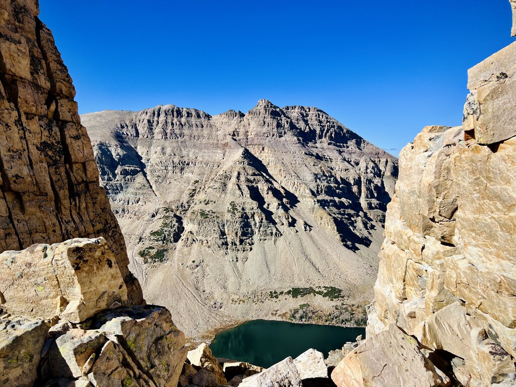


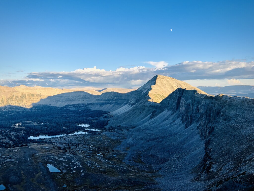
I started this route at 4:47am on 10/4/22. I had been eyeing it for a couple years and had scouted a few sections earlier in the year. Studying the route, I didn't understand why it doesn't include the true Ostler peak- so I added that. The route also was not super intuitive dropping of Lamotte Peak and then dropping into the valley only to skirt around the entire A1 ridge. I decided to keep it a true ridge traverse. I stayed on the Lamotte ridge and then ascended the full A1 ridge as well to hit A1 and Kletting Peaks. My watch died just after summiting A1, so I recorded the rest on my phone- hence the 2 different strava activities. I took a photo of the trailhead when I finished so the time stamp could be verified since my watch had died. I ended at 7:05pm. I'm unsure of the exact seconds, so I added 59 seconds for good measure. 4:47am-7:05pm.
I started in the dark and late in the year which ended up costing me a lot of time. Once I gained the ridge, I found that all the lichen covered rocks had a icy frost on them which made travel much slower than anticipated. I got lost in the dark heading towards Aggasiz and had a big fall on the slippery rocks 2.5 hours in. Luckily the fall only broke my pole instead of a rib :) The icy frost remained on the route until just after 12pm which definitely cost me a lot of time. But overall it was a beautiful, hard day in the mountains and I was grateful to get this route done and keep it a true ridge traverse and add in the lovely Ostler peak. Could easily take off 2+ hours with no frost and not getting lost.
Excited for someone else to give it a good effort!
Comments
Jen,
Bravo on crushing this, a new overall FKT!!!
I have followed this loop for awhile. Psyched to see you get after it!
with stoke and gratitude!
That's rad - strong work Jen! Overall FKT WOOT!! Your line looks a lot more elegant than the original one; makes me want to get back up there and do it properly 🙌🏼 in the cruxy bit heading over to Lamotte, did you cross the two big gullies on the east or west side of the ridge proper? I had a near-death experience on the east side in one of them...
I just completed this loop the other day and can offer a closely related answer about the "crux" section of the route, from the saddle just above Amethyst Lake to LaMotte, for anyone it's useful to. Essentially, I interpreted Jen's track as staying on the east side for the majority of the way, with side traverses around spires that broke up a series of loose chutes. That turned out to be true, and while I never fully trust GPX tracks as gospel in the field, I can say all the lines so far point to a pretty solid staircase chimney with mostly large, stable rock. After that, you're level with some ledges, but nothing that feels too "airy."
Traditionally, the conservative route sidehills lower and then shoots straight up a loose gully. This is where I'd say the highest risk lies. It's not technical in any real fifth-class sense, but it's an actively eroding slope, so it takes caution to proceed safely, sticking to the larger rocks on the high side. Afterward, it remains technical, but maybe only class 3, with fairly straightforward route finding.
I still believe Jenny's line is the most efficient route, and arguably the safer one, because I personally wouldn't volunteer to be under an actively eroding mountainside with the potential for a slide above.