Location
Massachusetts,
US
Distance
28.4 mi
Vertical Gain
7,500 ft
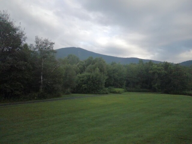
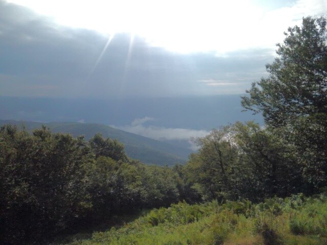
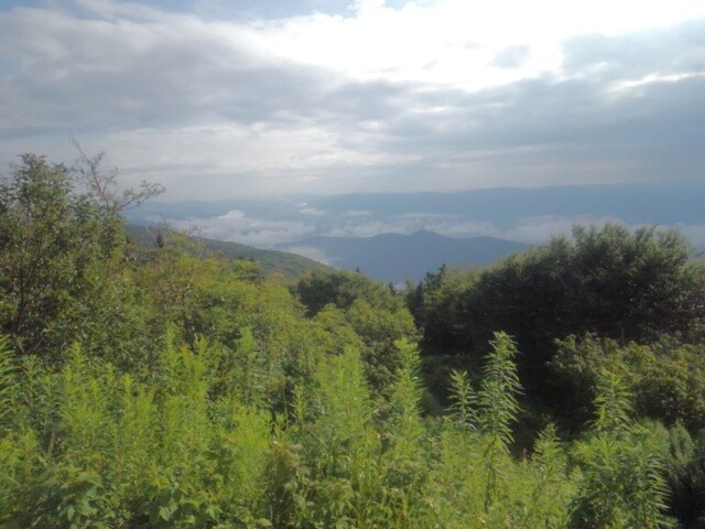
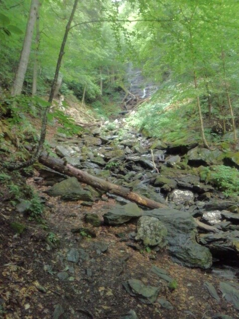
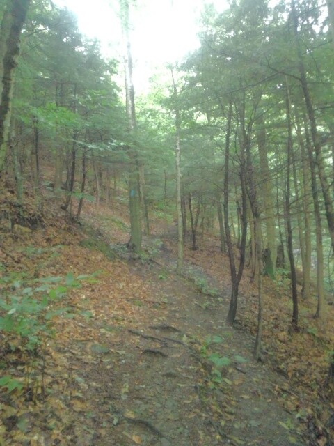
Description
GPS Track
Tour_d_Greylock.gpx7.8 MB
FKTs
Male
Mixed-gender team
| Keith Nadeau | 5h 36m 43s | ||||
| Iain Ridgway | 6h 25m 42s |
| Jay Durand | 7h 45m 12s |
| Aubri Drake, Katlin Rhodes | 9h 3m 3s |
Images

Comments
Is this an established and well known route? Or is this more of a day-hike that you submitted as an FKT route? I'm a little confused on this.
Also, the vertical gain is expressed as 7600m when it should be 7458 ft according to your GPX file. I hate to be that guy but 7600m vs 7458 ft is a difference of more than 17,000 ft.
"The route is notable and distinct enough so that others will be interested in repeating it."
I believe this to be true to folks who are looking for places to explore in western Massachusetts. I've spent the summer with the goal of figuring out the best, most interesting way to do a complete loop around out biggest local landmark, and want to share that with folks. Lots of spectacular scenery, interesting landmarks, challenging, technical trails. And, someone has to go first!
I have no idea what you're talking about in terms of meters; the total vert, as per Strava, was just about 7700 feet, I've never claimed otherwise.
Jay,
Thanks for the reply. I think the foot/meter problem was resolved shortly after I posted the comment, I should've waited for the correction rather than posting the comment. I was a just confused when it was almost 25,000 vertical feet! All good! Congrats!
Hi Maclean,
Maybe you were unaware, but routes are approved by the site administrators before they are posted. Are you from this area? 28 miles with 8k of climb in 7:45 on those trails is a heck of hike, you must be an impressive hiker! If you have concerns about this FKT, I'm sure Peter and Buzz would be happy to discuss it with you. Maybe they'll ask for your assistance in determining the merits of routes. You should look through all the other FKT's. I've been thinking of doing an FKT in this area for years, but never got around to it. The trails are amazing, The Greylock half marathon is one of my favorite trail races, and the one year they had a marathon at Greylock, that may be best trail marathon I've ever run, which is why I've been thinking about a FKT route out there. Thanks, Jay!
Ben,
When I was looking over the route initially the course was expressed in vertical meters rather than vertical feet. My confusion and commentary stemmed from there. This is a great course and an incredible time set by Jay.
Watching you guys tear up that mountain during the Greylock Half was my introduction to this crazy sport, which is part of why this loop and this mountain is so important to me. I stand in awe of what you guys are able to do, and I'm just happy to ride in your wake! It would be an absolute honor for you to come out this way, run this loop and beat my time just as badly (or even worse!) than Iain did - that's what it's all about.
I am absolutely stoked to see Iain destroy my time! I'm proud of my effort but I know there are lots of folks that are faster than me - but I absolutely love these trails, I love this mountain, and I am stoked to see some elite guys come out and appreciate them as well. Great work!