Location
Pennsylvania,
US
Distance
46.6 mi
Vertical Gain
1,155 ft
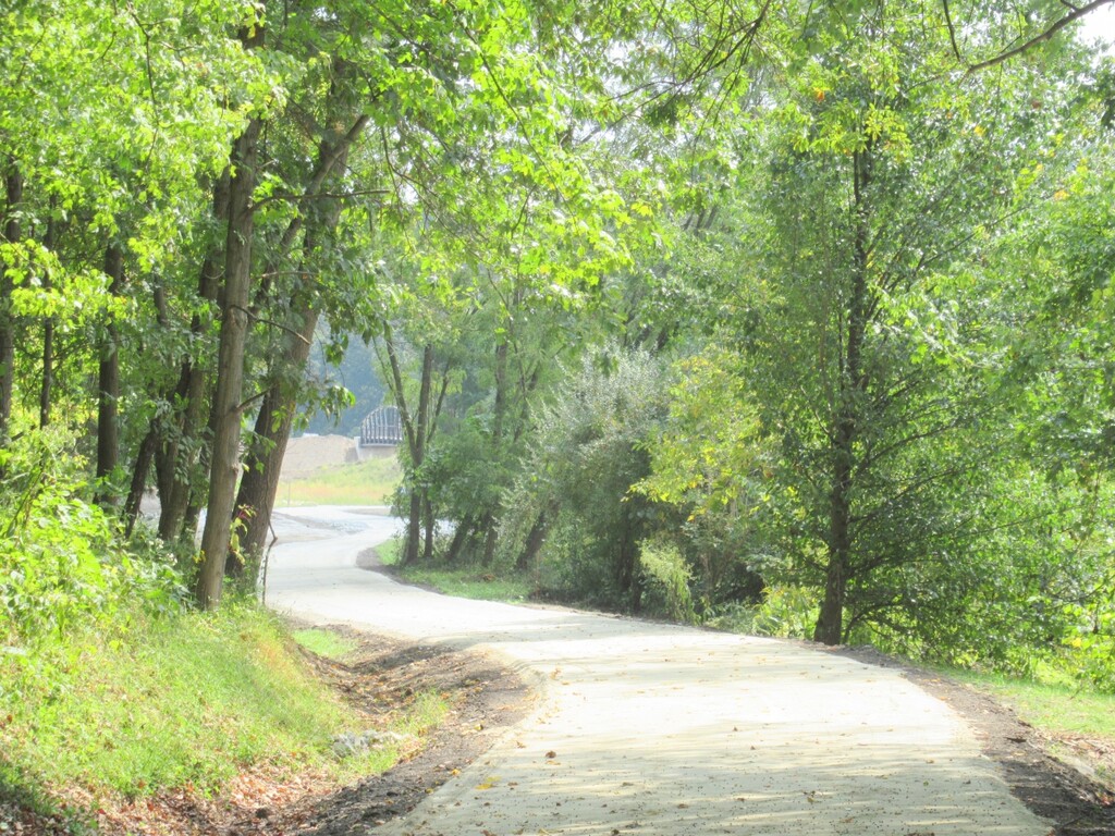
Description
GPS Track
The_Montour_Trail.gpx3.1 MB
FKTs
Male
Non-binary
| Daniel Goldstein | 7h 11m 10s | ||||
| Declan Lynch | 9h 5m 54s |
| Ryan Johns | 8h 28m 23s | ||||
| Jason Baum | 8h 45m 49s |
| Emma Reineberg | 10h 31m 34s |
Images


Comments
I just did this as well! Will upload soon.
https://strava.app.link/uslbvYYB5ab