Route: Montour Trail (PA)

Submitted by qtzar on Sun, 11/01/2020 - 08:24am
Location
Pennsylvania, US
Distance
46.6 mi
Vertical Gain
1,155 ft
Description

The Montour Trail is a multi-use, non-motorized recreational pathway around Pittsburgh, the country’s longest suburban rail-trail. The main line extends ~47 miles; branch routes increase length to 60+ miles. The relatively flat half-loop stretches from Coraopolis (along the Ohio River) to Clairton  (on the Monongahela River). 

The converted railway bed is steeped in history: It began life as the coal-carrying Montour Railroad (MTR) in the late 1800s. In its heyday, MTR trains served 27 mines and carried 7 million tons of coal per year. Coal fired the steel mills of the Pittsburgh area, the product that built our nation and saw us through two world wars.

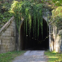
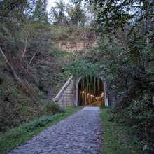
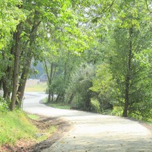
Dotted with refurbished railroad truss bridges, replacement spans that are engineering marvels, and lengthy tunnels that eliminate steep grades, the Trail offers views of beautiful rural landscapes, wooded corridors, flora and fauna. The suburban towns along the route provide many opportunities for refreshment and diversion.


https://montourtrail.org/

GPS Track
Images

Comments

User Picture
Profile picture for user Moon Grass

I just did this as well! Will upload soon.