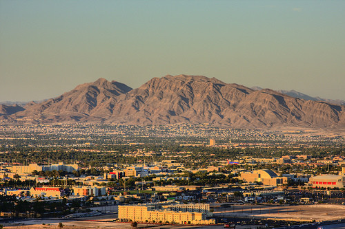
Location
Nevada,
US
Distance
7.4 mi
Description
GPS Track
Frenchman_Mountain_repeats.gpx160.97 KB
FKTs
Male
Female
| Justin Daniels | 45m 31s | ||||
| Sam Haines | 47m 27s | ||||
| Jonathan Ziesmer | 48m 33s | ||||
| Coree Woltering | 49m 58s |
| Allison Baca | 52m 35s |
Images
Comments
I'm tentatively planning to go up Frenchman Mountain this Saturday morning (Nov 10), and if I do I'll bring my InReach and track the time to set a baseline FKT on this route. It is indeed a great Las Vegas viewpoint!
https://share.garmin.com/MarcyBeard
I completed an up-and-back of Frenchman Mountain yesterday, will submit the details. There are 2 possible "highest points", so having not figured this out in advance I went to both of them. Looks like the northern point is higher (both the peak elevation and the max attainable height on the trail before running into a gate). It's called "Sunrise" on the topo map, and it's also the more obvious point from a distance. I'll report my uphill split to that point. Fun climb, rocky downhill, beautiful views.
Update: My times didn't beat the Strava course records, I'll pay more attention to that for future FKT attempts.