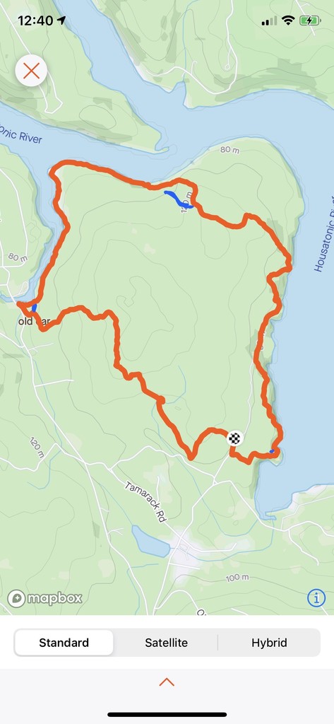
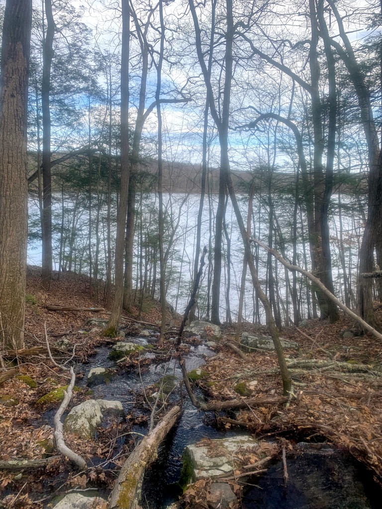
Lillinonah is a 5-6mi loop trail in Newtown, CT. It's a peninsula into the Lake Lillinonah portion of the Housatonic River, surrounded by water about 60% of the way around. (The CT Woodlands map labels it as 6.2mi.) To check out a map visit: https://www.ctwoodlands.org/blue-blazed-hiking-trails/blue-blazed-hiking-trails-interactive-map
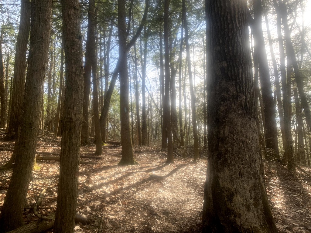
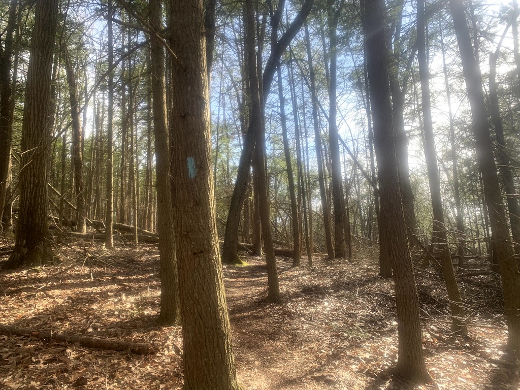
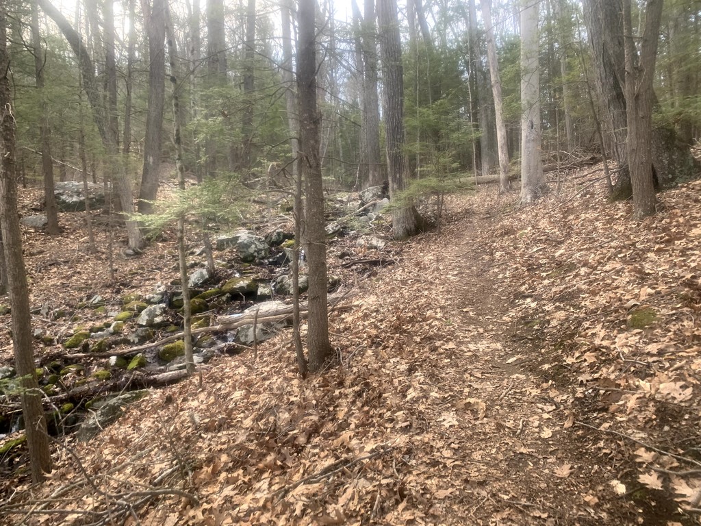
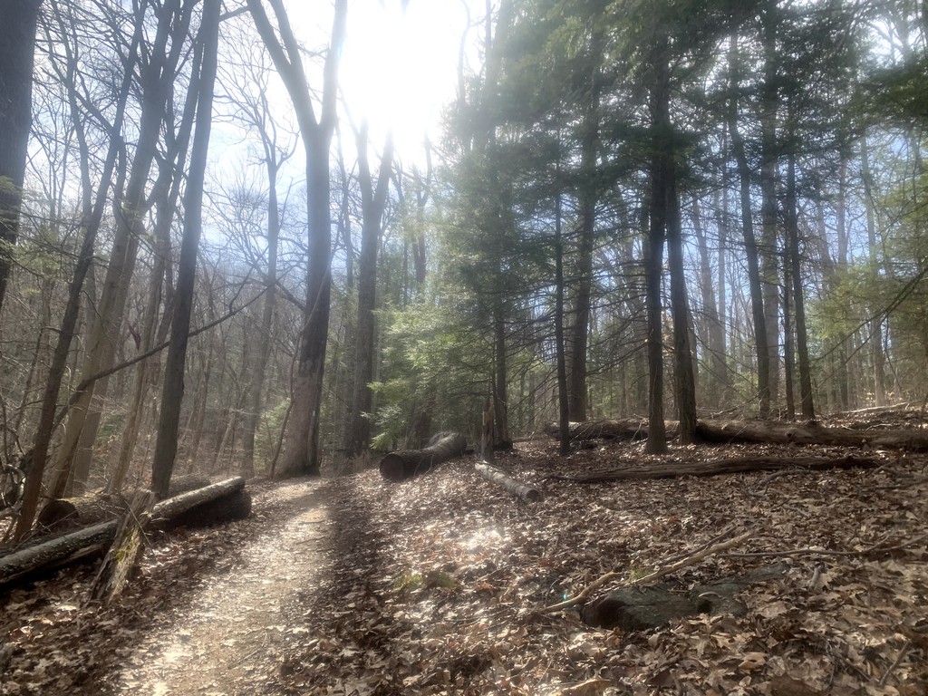
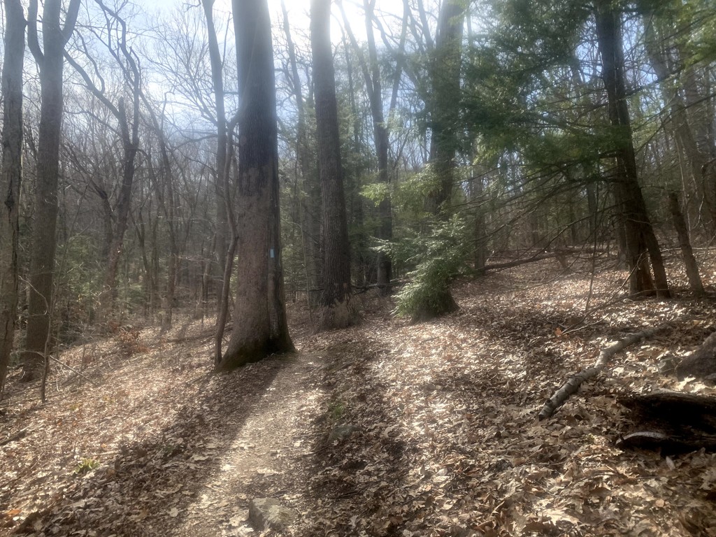
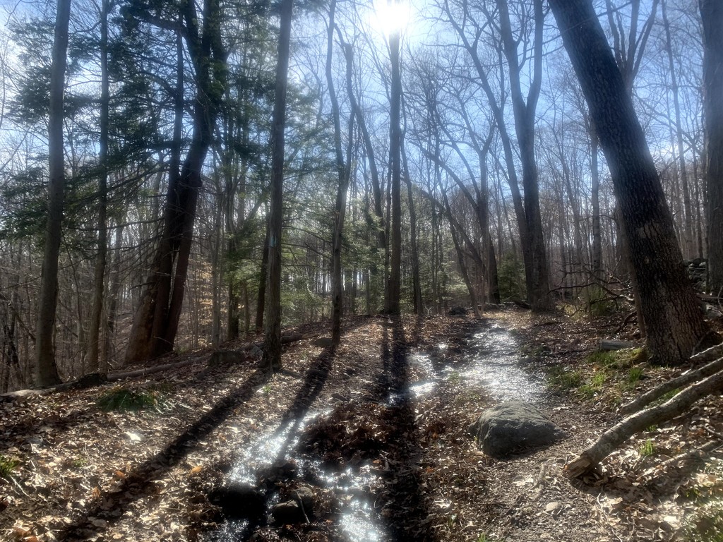
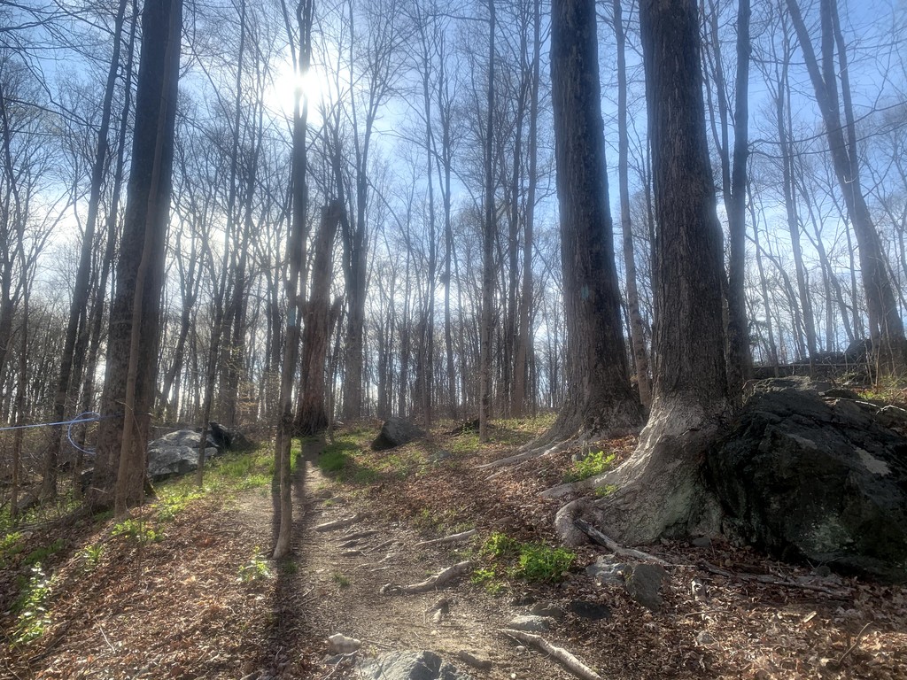
Most of the trail is very runnable and not overly technical by CT blue blazed trail standards.The elevation doesn't vary too widely but changes frequently, so don't expect an awful lot of flat terrain on this loop with about 1,200ft vert.
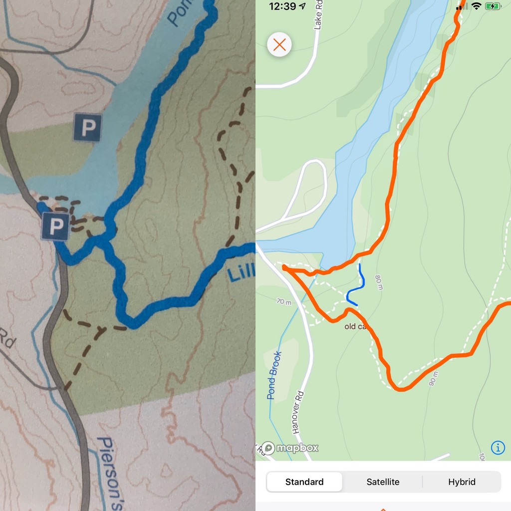
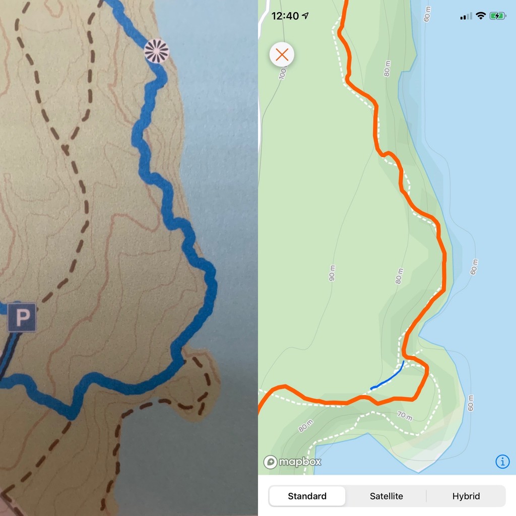
On my initial visit to the park I ran the loop hard and got ever-so-slightly off track three times. Two of my errors made my route a tiny bit longer and one made pretty much no difference. I have included pictures that show where I went versus where the route should be; follow the blue lines, not my red ones. Since it's a loop, you can begin and end it anywhere and travel in either direction. I started at Echo Valley Rd and traveled clockwise.There is a decent amount of parking there, room for about a dozen vehicles, but the tail end of the drive into the park is only one lane so you may end up having to back up awkwardly if you encounter another vehicle coming from the opposite direction.
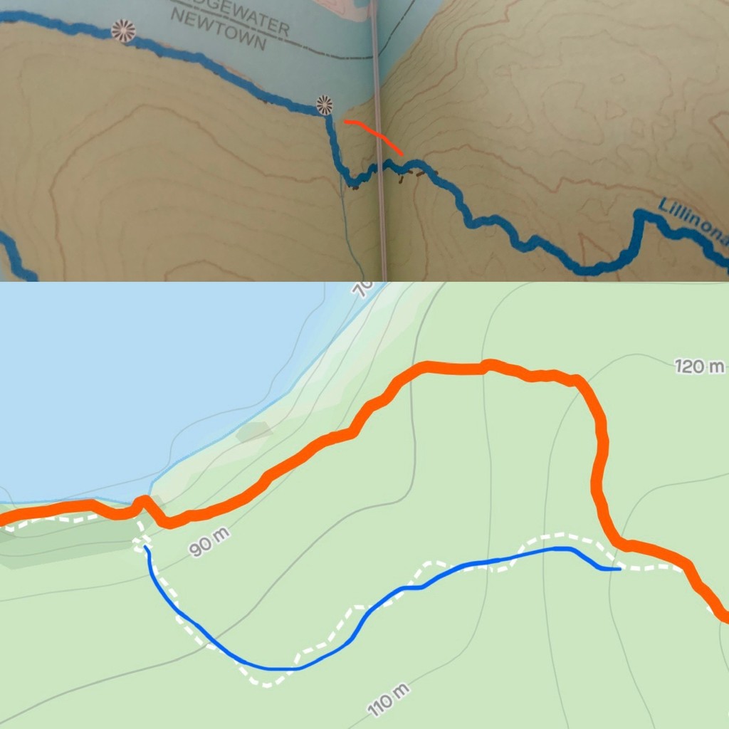
It's a beautiful trail, have fun! Next time I do it I'll probably start from the parking spot on the western most point of the trail off Hanover Rd and try to avoid my little errors. The spot I "messed up" on the northern portion of the trail, however, might be a trail rerouting. I don't recall making an error or getting off track there, but my GPS shows something different from the published trail map. If you figure that out before I do please let me know. :) Thanks! Happy Trails!
--submitted by Sarah Connor
Note there are some Strava segments for this (CW & CCW):
https://www.strava.com/segments/17024305
https://www.strava.com/segments/17042227
Comments
You did the correct loop. The maps take detours on the northern section along the water. The blue blazes are clearly defined there and they head down towards the river before winding back up to the start/finish (if you parked on the west end lot. Ran this twice the past 2 weekends and watched carefully the 2nd time for the blue markers. Great time BTW!!!! Created a new strava segment for the full CCW loop "Official Lillinona Blue Blaze Loop CCW".
Thanks Joe! Awesome time to you too! I'm looking forward to coming back sometime... it's a beautiful place and I'd like to do it slower, and then attempt it fast again when I know where I'm going. lol. The strava segment will be very helpful, thanks for that!