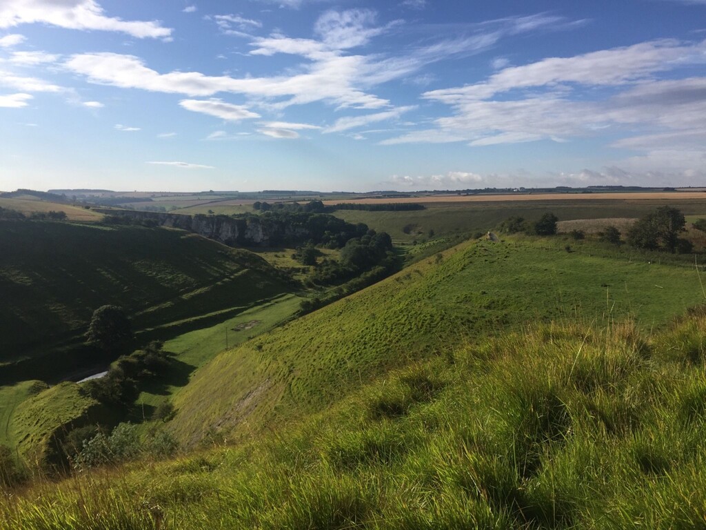
Location
United Kingdom
Distance
66.1 km
Vertical Gain
1,106 m
Description
GPS Track
Chalkland_Way_0.gpx1.95 MB
FKTs
Male
| Harry Holmes | 5h 22m 27s |
| Mark Lawrence | 5h 47m 6s | ||||
| Adam Stirk | 5h 53m 8s |
Images
Comments
Hi,
I believe the gpx file above contains a few minor mistakes, primarily the start/end point and the separate routes through Pocklington for the outward and return legs. I'm guessing the file is based on Adam's actual run which also contains a couple of small nav errors and enforced detours. A clean gpx file can be downloaded from the second link below.
https://www.ldwa.org.uk/ldp/members/show_path.php?path_name=Chalkland+Way
https://www.walkingenglishman.com/ldp/chalklandway.html
This is not to take anything away from Adam's FKT, rather to improve accuracy of the route data. Thanks
Thanks for the note about the GPX file. After seeing this and the comment from Harry Holmes after his recent FKT, I've updated the route GPX file to Harry's run. Hopefully this should be the closest to the actual route, since he used the Walking Englishman GPX which was correct in most places but differed from the official route near Thixendale.