Location
South Dakota,
US
Distance
8.4 mi
Vertical Gain
1,050 ft
Description
GPS Track
Custer_Peak.gpx5.23 KB
FKTs
Male
Female
| Peter Kesting | 59m 8s | ||||
| Gage Winkler | 1h 5m 51s | ||||
| Matthew Matta | 1h 15m 39s | ||||
| Matthew Matta | 1h 34m 0s |
| Kristen Schindler | 1h 20m 23s |
Male
| Peter Kesting | 31m 35s | ||||
| Matthew Matta | 42m 23s |
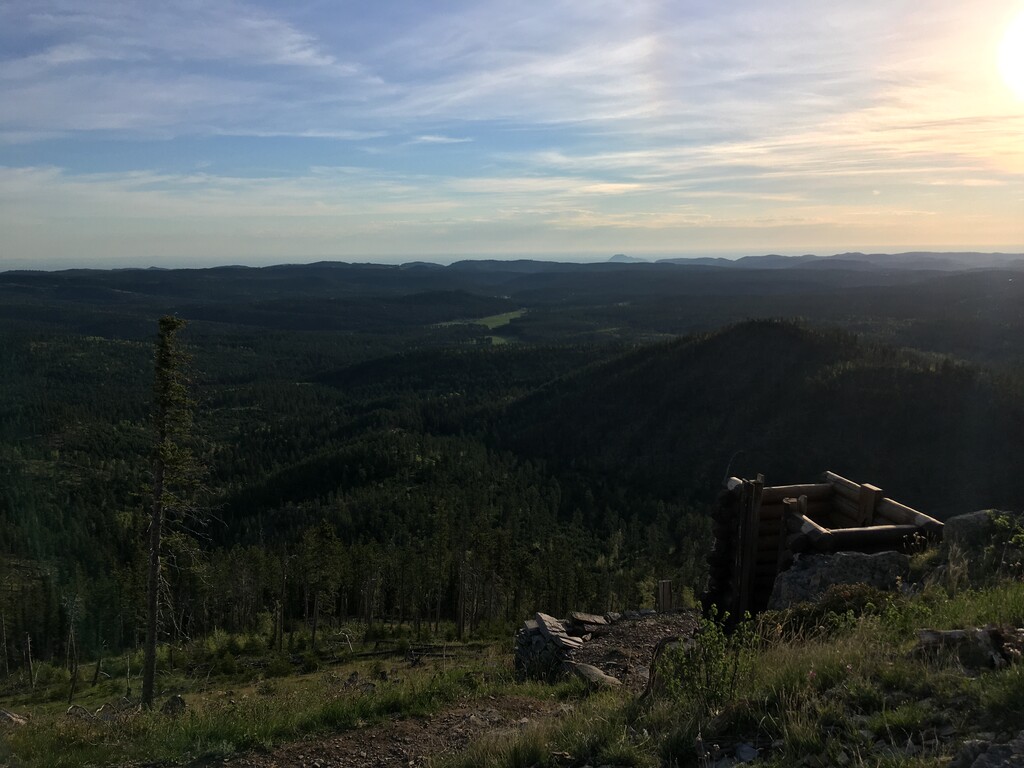
Images

Comments
Going to attempt to set the first (and overall) FKT tomorrow morning, June 9, 2021. Will likely start early.