Route: Custer Peak (SD)

Submitted by Matthew Matta on Sat, 06/05/2021 - 09:52pm
Location
South Dakota, US
Distance
8.4 mi
Vertical Gain
1,050 ft
Description

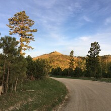
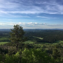
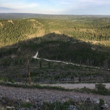
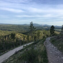
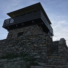
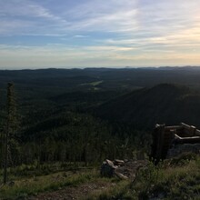
Custer Peak has the 4th highest fire lookout tower in South Dakota and provides incredible views of the surrounding Black Hills. It is one of the more prominent peaks in the state and was named after General George Custer. The current tower was built by the Civilian Conservation Corps in 1941. You can drive much of the way to the top but you’d have to park on the side of the road for the rest of the climb. The closest parking area is the snowmobile trailhead next to Highway 385, east of Mystic Hills Campground. From there it’s a 4.2 mile climb (or 8.4 car-to-car) with 1050 feet of gain on gravel forest roads and technical double and singletrack near the top.

Start/finish
The snowmobile trailhead is about 1/4 mile west of Highway 385 on the north side of Forest Road 216. The trailhead is very large and the sign off in the trees there is old and illegible. The logical place to start seemed to be where the small driveway for the trailhead meets FR 216. The summit sign makes a good turnaround point as it seems to be the highest elevation you can consistently access. The lookout tower may be a bit higher but is sometimes closed.

https://www.trailrunproject.com/trail/7029534/custer-peak

https://www.fs.usda.gov/recarea/blackhills/recarea/?recid=82116

https://www.summitpost.org/custer-peak/832067 

GPS Track

Comments

User Picture
Profile picture for user Kristen Schindler

Going to attempt to set the first (and overall) FKT tomorrow morning, June 9, 2021. Will likely start early.