Route: South Sandia Peak (NM)

Submitted by nope0540 on Fri, 10/29/2021 - 01:02pm
Location
New Mexico, US
Distance
11.07 mi
Vertical Gain
3,678 ft
Description

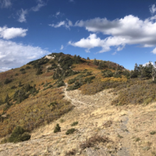
Embudito Trail:  This route starts and ends at the Embudito trail head parking lot. It ascends ~4 miles up  through Embudito canyon to Oso pass where you turn left and continue another ~mile on Embudito trail 192. You will then turn left on a trail (forgot the name) that ascends ~ 0.5 miles to the summit of S. Sandia peak.

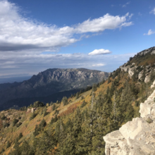
I wanted to post this route to FKT to see if I could develop the running competition on this beautiful peak. The Sandia mountains offer gorgeous views from nearly all high points, however on the northern side, there is often easier access (e.g., the tram), and better-groomed trails (e.g., Pino and La Luz (minus the rock slide). In contrast, S. Sandia Peak is not easily accessible, but the views are absolutely amazing from the peak. This route is only 11 miles, however the terrain is fairly steep, technical and can be overgrown, depending on the season. 

GPS Track
Images

Comments

User Picture
Profile picture for user nope0540

This route should be 11 miles, not 11 km.