Location
New Mexico,
US
Distance
11.07 mi
Vertical Gain
3,678 ft
Description
GPS Track
PR_on_S_Peak__0.gpx2.52 MB
FKTs
Male
Female
| Jeff Cuno | 1h 52m 43s |
| Erin Ton | 2h 16m 33s |
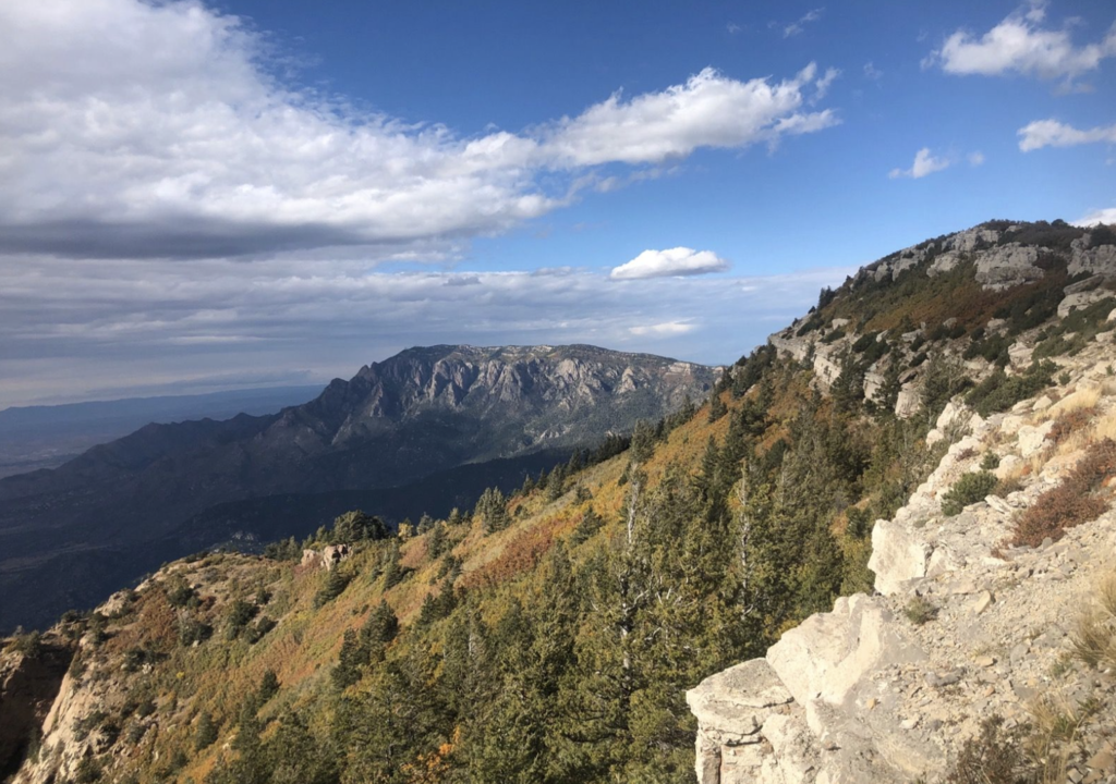
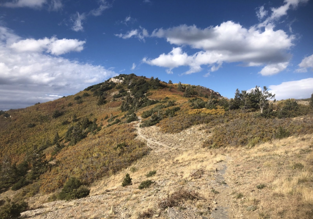
Images
Comments
This route should be 11 miles, not 11 km.
Fixed. Thx
https://www.strava.com/segments/4301155
This appears to be the associated Strava segment.