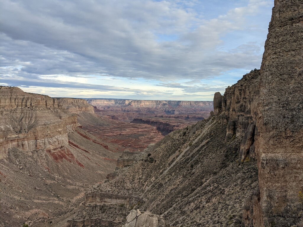
The Tuckup Trail is a roughly 80-mile point-to-point route that runs along the North Rim of the Grand Canyon at the Esplanade level.
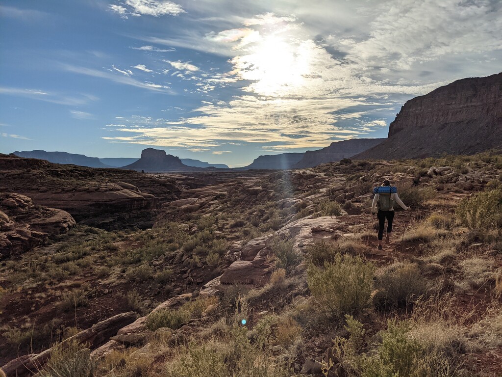
Rarely traveled and extremely remote, this route will challenge even the most steadfast adventurer. The trailheads can be extremely difficult to access and require a high-clearance 4WD vehicle. The wonderful people at Dreamland Safari out of Kanab, Utah are very familiar with the area and can be hired for transportation. The Eastern terminus is the 150-mile Canyon Trailhead, and the Western terminus is located at the Tuckup Trail sign near the Toroweap Overlook and Tuweep Campground. The Toroweap Overlook is known for the sheer 3,000 foot drop down to the Colorado River, offering dramatic views.
The Tuckup Trail mileage can vary greatly depending on your route-finding and decision making ability. Estimates for the mileage range from 60 miles to 100 miles. The variance in mileage is due to the fact that there is very little actual trail to follow. The route shown on maps is more of a suggestion, and the route itself can vary greatly. The Grand Canyon National Park describes the Tuckup as "a remote, vast expanse of labyrinthine gorges, sandstone slickrock, and fascinating history... The unique combination of heat, unreliable water sources, and inaccessibility makes this one of the most challenging and least visited of Grand Canyon’s named trails."
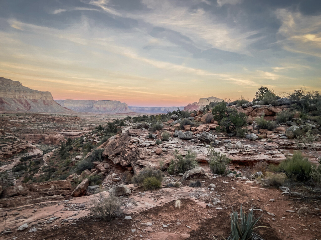
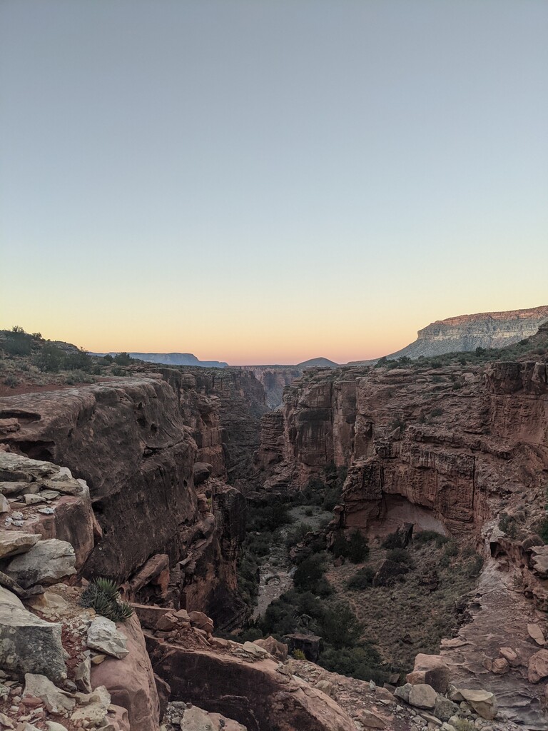
As challenging as the Tuckup Trail is, it proves to be a full-value adventure that works its way into your soul. The views are phenomenal and the remoteness of this section of the North Rim gives you the feeling of really being "out there."
Please note that a backcountry permit is required for overnight use. Please make sure to adhere to backcountry rules and regulations and follow Leave No Trace practices. Be mindful of the surfaces you are walking on and try to avoid crushing cryptobiotic soil. You may find evidence of the peoples who lived there before we came along. Be respectful of dwellings, art, and artifacts that you may find. Leave everything how you found it. Taking anything from a National Park is illegal, but taking artifacts is also extremely disrespectful to the indigenous people.
The most important limiting factor to consider on this route is water. There are several natural springs that are accessible along the route or by taking short (but sometimes difficult) detours. Some of these springs, while they may be reliable, are known for being unpalatable, highly mineralized, and often cause short-term gastrointestinal issues. The best time to go is shortly after a rain, when the potholes are full of fresh water.
Warning: Excellent navigational skills are necessary to complete this route. Route may involve scrambling, exposure, unreliable water, and extreme heat. There are very few ways to access the route and rescue can be difficult.
Resources:
NPS Tuckup Trail information sheet - details water sources, trailhead access, etc.
NPS Grand Canyon Backcountry Permit
Dreamland Safari Tours


Comments
Epic!!!