Have you ever wanted to traverse Orange County, CA from the beach to its highest elevation atop Santiago Peak, but wondered which collection of trails to follow? Try these!
-Start at the coast, on the northwestern section of Doheny State Beach, where San Juan Creek flows into the Pacific Ocean: https://www.parks.ca.gov/?page_id=645
-On the west side of San Juan Creek Trail, proceed north: https://www.danapoint.org/department/general-services/parks/parks-trails/san-juan-creek-trail
-Where Trabuco Creek connects to San Juan Creek, remain on the western bank and continue north on Trabuco Creek Trail. Refer to the San Juan Capistrano Recreational Trail System on this map: https://sanjuancapistrano.org/Portals/0/SJC%20Trails%20Map_%202017_1.pdf
-Cross Del Obispo Street where it intersects Alipaz Street to reconnect with Trabuco Creek Trail on the northwest side of Del Obispo Bridge. The trail does not cross under the bridge on the western side. The eastern trail crosses under the bridge, but terminates in a residential area with no direct connection to another trail. (Note: some apps refer to trails by different names in this area. The names used in this description are from the San Juan Capistrano Recreational Trail System map.)
-One mile north of Del Obispo Street, at a multi-directional trail intersection, take 2C Ranch Trail, which is the narrow dirt path that leads down the hill to the right of Oso Rancho Capistrano Trail. The sign for 2C Ranch Trail is near the first location where this route crosses Trabuco Creek.
-The first Trabuco Creek crossing point suits horses more than hikers. At the southern bank of the creek, look to the right. Cross using those stones and blocks to stay out of the deeper water. Return to the main trail and continue north. 2C Ranch Trail reconnects with Trabuco Creek Trail at the end of Oso Road.
-Follow Trabuco Creek Trail to where it passes underneath railroad tracks. Use the wooden plank to cross north on the concrete, parallel with the tracks. Remain on the developed trail as it continues along the northern side of the creek.
-At Dr. Joe Cortese Dog Park, take a 90-degree turn to the right and remain on Trabuco Creek Trail as it passes underneath Camino Capistrano, the San Diego Freeway, and Rancho Viejo Road: https://www.sjcopenspacefoundation.org/projects_dog_park.php
-On the far side of the underpasses, turn right and cross the wooden bridge over Trabuco Creek. Just past the bridge, take Trabuco Ridge Trail when it appears on the left. This trail ends in a residential area on Monarch Drive.
-Turn right onto Monarch Drive. Walk away from the gate, between the two houses at the end of the street. Look to the left. Take the trail that leads up the steep hill. This is Ladera Ranch Trail: https://laderalife.com/amenities/trails/ladera-ranch-trail
-After 2.7 miles on Ladera Ranch Trail, the path splits around both sides of an electrical tower. Descend to the left past this tower, pass through a fence gate, and connect to Arroyo Trabuco Trail. For a guide specific to this trail, see: https://www.alltrails.com/explore/trail/us/california/arroyo-trabuco-trail
-Just beyond the Foothill Transportation Corridor (State Route 241), Arroyo Trabuco Trail connects to the southern end of O’Neill Regional Park. Inside the park, turn right and follow Twisted Tire Trail uphill to Mesa Trail: https://www.ocparks.com/parks/oneill
-After one mile on Mesa Trail, turn right and exit O’Neill Regional Park through the opening in the fence. Turn left immediately, and follow Trabuco Creek Trail Bike Path. Veer left where the small paths descend to Trabuco Canyon Road.
-Cross Trabuco Canyon Road and arrive at the unpaved parking area where Trabuco Creek Road begins.
-Follow Trabuco Creek Road east for 1.8 miles, to the trailhead for Cadillac Trail. A small, unpaved parking area is across the road from the trailhead. Cadillac Trail is sometimes identified as Trabuco Creek Road Trail.
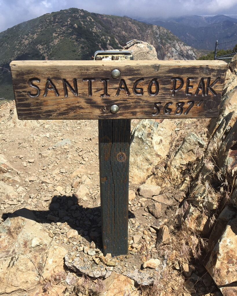
-Take Cadillac Trail uphill to Joplin Trail, and turn right. Joplin Trail leads to Main Divide Road, which follows the terrain to Santiago Peak, the highest point in Orange County, CA. For a guide specific to this section of the route, see: https://www.alltrails.com/explore/trail/us/california/santiago-peak-via-cadillac-and-joplin-trails
Cities and communities along the route: Dana Point, San Juan Capistrano, Ladera Ranch, Rancho Santa Margarita, Trabuco Canyon.
Submitter: Evan Brashier
Comments
(Better late than never!)
Heading out for this one tomorrow morning! Big thanks to Michael and Evan for killer info.
Wish me luck….
Taking a stab at this one early tomorrow morning before the day gets too hot. Repeating cfoster's comments - thanks for the beta!
Gave it my best shot, but unfortunately didn't pack enough water so had to to turn back a bit early! A great day out - and excited to try it again once it cools off. Also - it looks like CFoster did break the FKT, but he never uploaded it to the site. I'll let him upload when he's ready!
https://www.strava.com/activities/7516930917