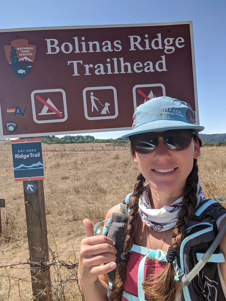

I was in the area for a class and had one day off in the middle of the two week course, so I thought: what better way to spend a day off then to explore the beautiful trails of the Marin headlands?
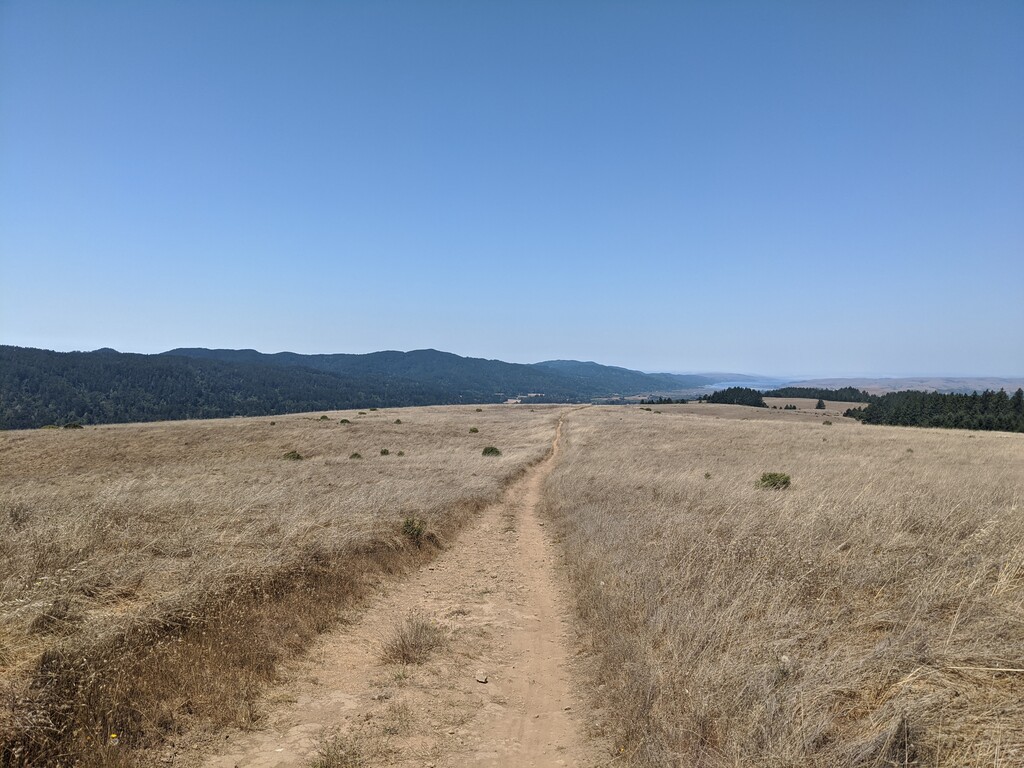
I got a late start due to having to arrange a shuttle from a friend for this point to point. The late start meant I was running in the heat of the day - something I did not plan for, nor expect. My assumption was that I would have a cool ocean breeze and maybe some fog for most of the day. Boy, was I wrong! As it turns out, the headlands can be quite hot. I learned this the hard way as I practically melted into a puddle in the midday heat. I could do little more than walk through certain sections where the heat felt especially oppressive. I was almost out of water by the halfway mark. Luckily, I came across a picnic area with running water at Pantol Campground, where I drank my fill and happily refilled my water bladder. I sloshed off down the trail.
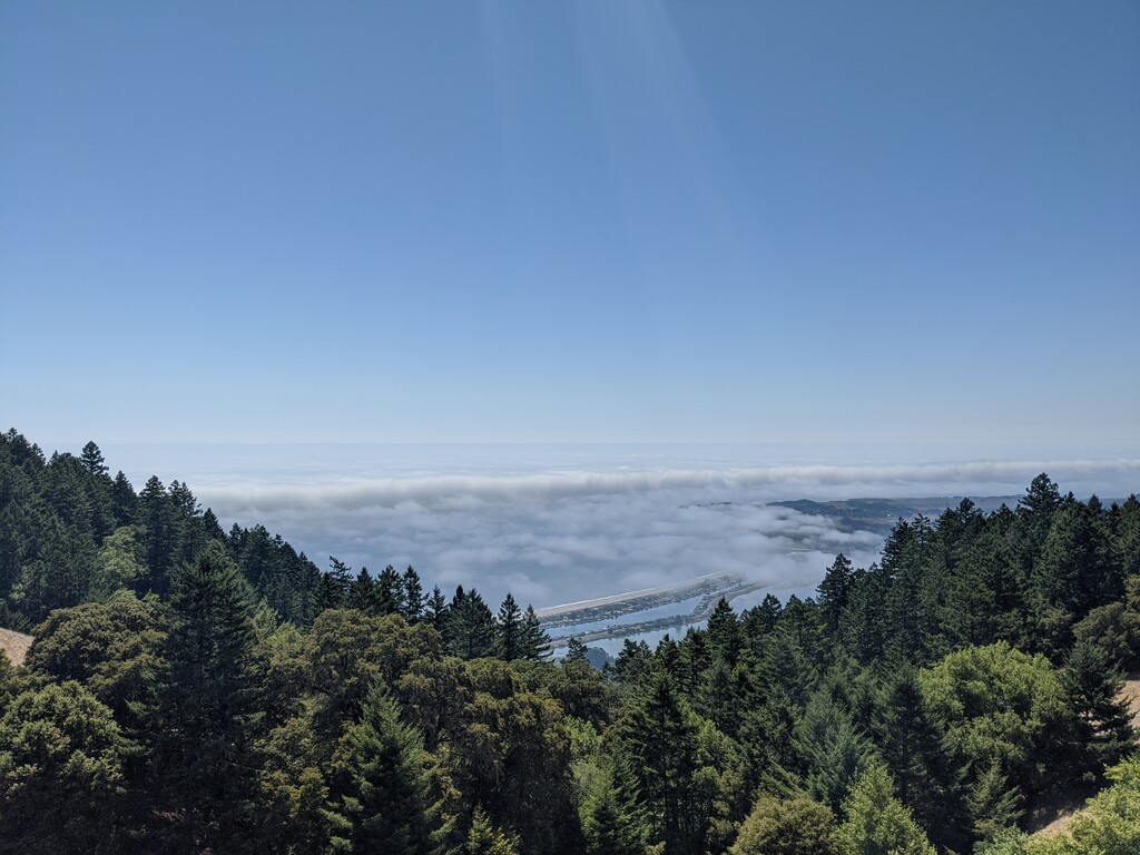
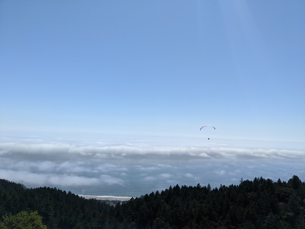
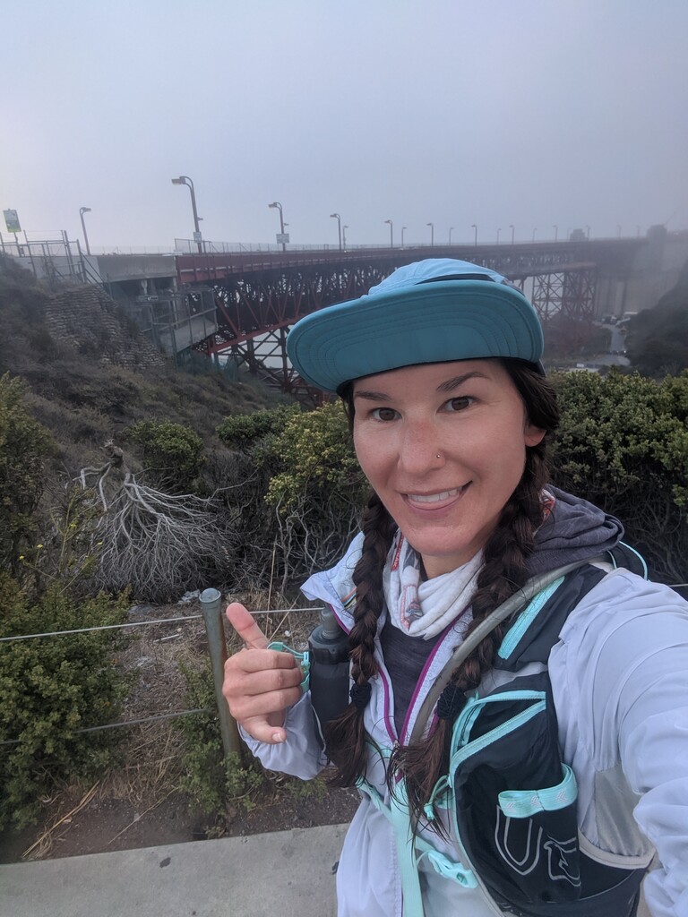
Around mile 25, I finally found the fog. There was a sudden change from hot and dry to cold, extremely windy, and foggy. This was a welcome change, but found that I had to put on another layer of clothing. The fog was so dense that I never saw the Golden Gate bridge, even when I stood right next to it at the end.
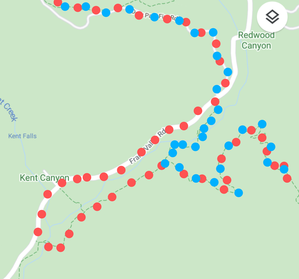
This was a phenomenal route, and a great way to explore the area. As a side note, there is a section of the route (about mile 22) where it veers off trail and on to a busy road that has little to no shoulder for about half a mile. I had to step off the road multiple times because of traffic and it generally felt unsafe. It's a very short distance, but there is a direct trail that crosses the road and gets you to where you need to be. I'm not sure why the route creator included this section of road, but I don't feel that it's necessary and I would recommend that future runners cut out this section for safety purposes. I included a picture of this section with my route recommendation for clarity. Red dots = existing route, blue dots = recommended route.