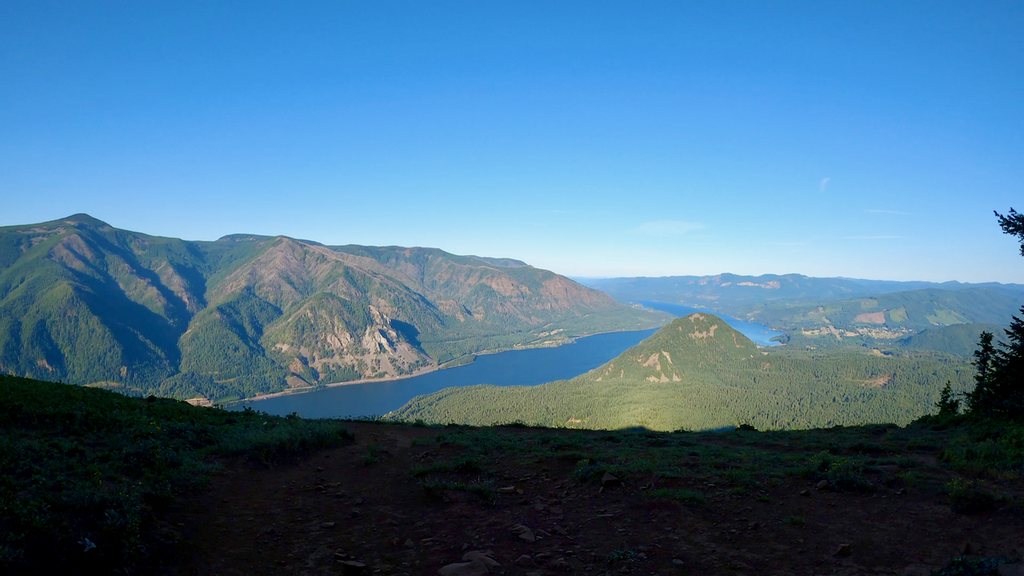

The Triple D challenge has been a classic in the Columbia River Gorge for literally decades (you can find lots of reports over the years, e.g., here and here and here and …). The challenge consists of climbing Mt. Defiance (5,010ft), Dog Mt. (2,948ft), and Devils Rest (2,402ft) in one day. Legend has it that the Mazamas started the Triple D back in the day. So far, the challenge has always been completed by using a car to drive between the trailheads. That’s why all the listed Triple D FKTs are either self-supported or supported. To the best of my knowledge, no one has completed a Triple D without using a car.
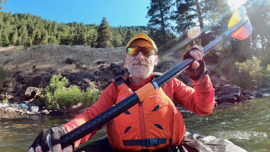
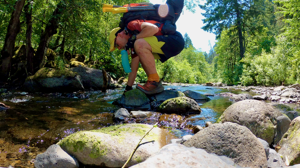
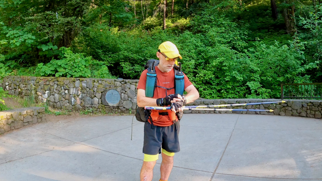
I took up this challenge as a training opportunity and to put my packraft to good use. In pure human-powered and unsupported FKT style, I carried every piece of gear from the beginning to the end. While the guidelines allow to stash gear while bagging peaks, I carried my packraft on each of the 3 peaks.
To make this unsupported Triple D successful, I needed an east wind of some sorts, the stronger the better. The forecast predicted precisely that for Jun 22, 2023. I figured it was now or never.
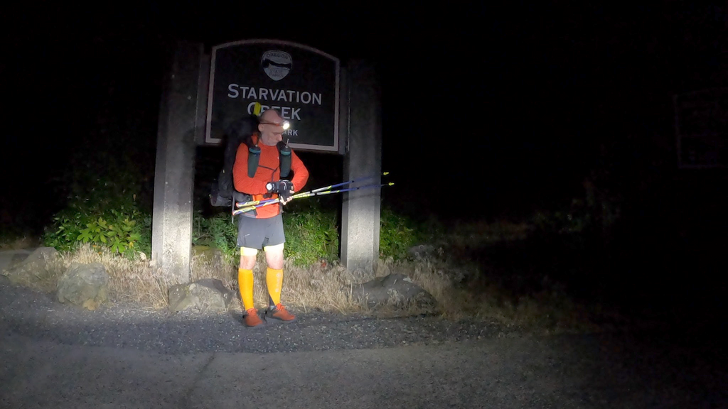
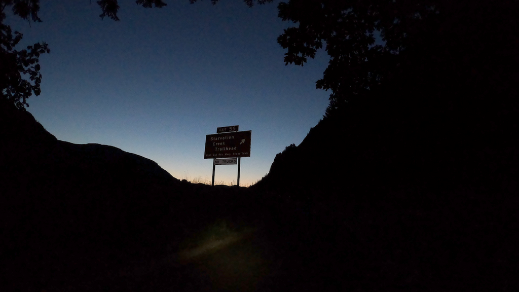
I started at 12:16am at the Starvation Creek trailhead. My timing was aligned with the wind forecast: ideally, I wanted no wind for the Defiance to Dog crossing, but east wind on the way down to Devils Rest. Those winds were supposed to start around 8am and peak mid-day.
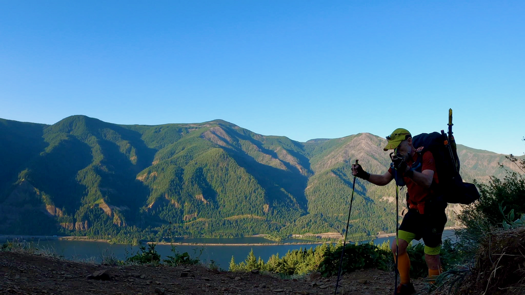
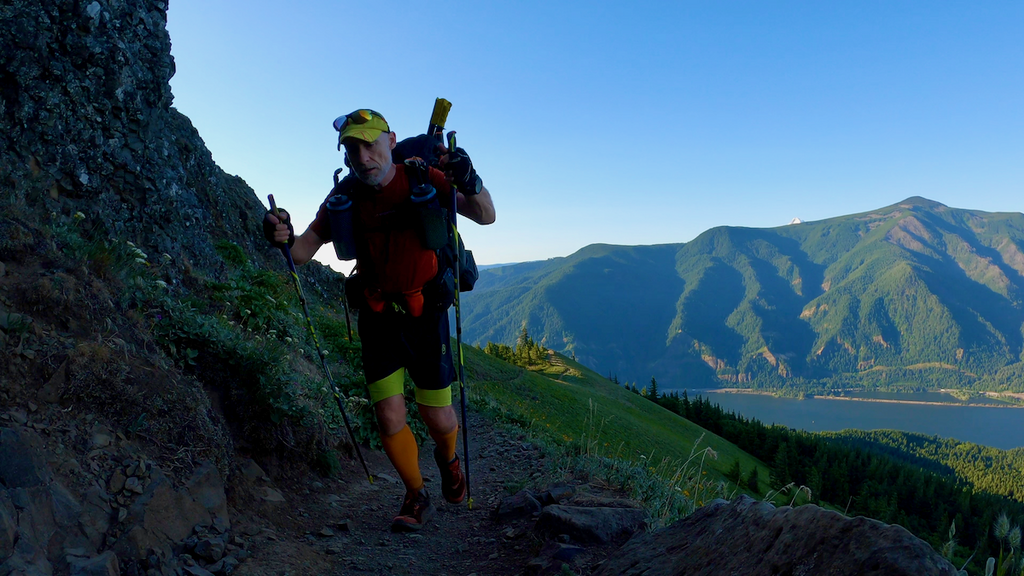
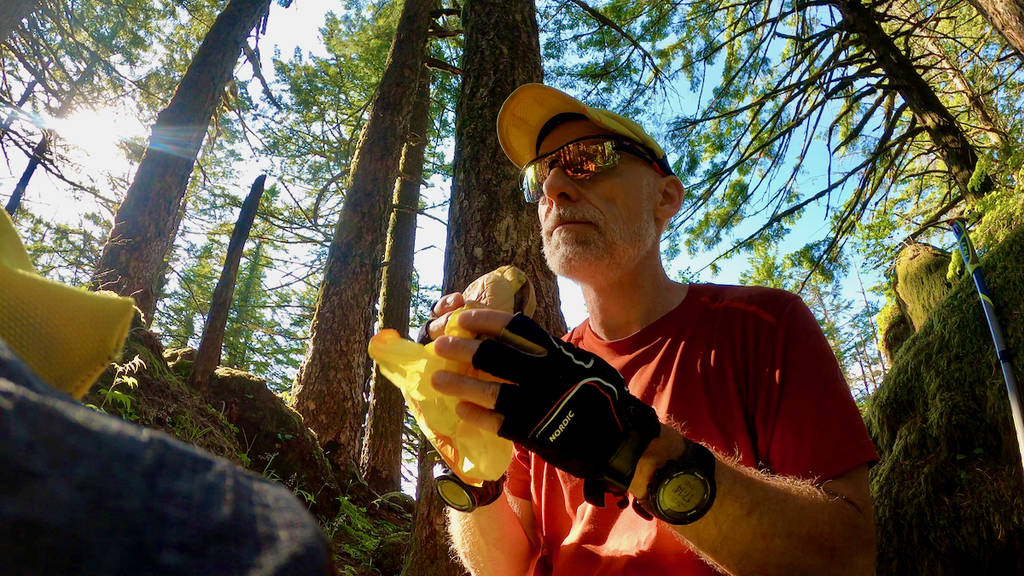
On the way to the start, I had procured 4 cheesburgers, which would constitute my main source of calories throughout the night and day. The night was balmy and pleasant. I headed up on the Mt. Defiance trail and reached the summit in about 2h20min. The descent took me almost two hours. Not stellar times, but the pack was pretty heavy and I wasn’t feeling very nimble as a consequence.
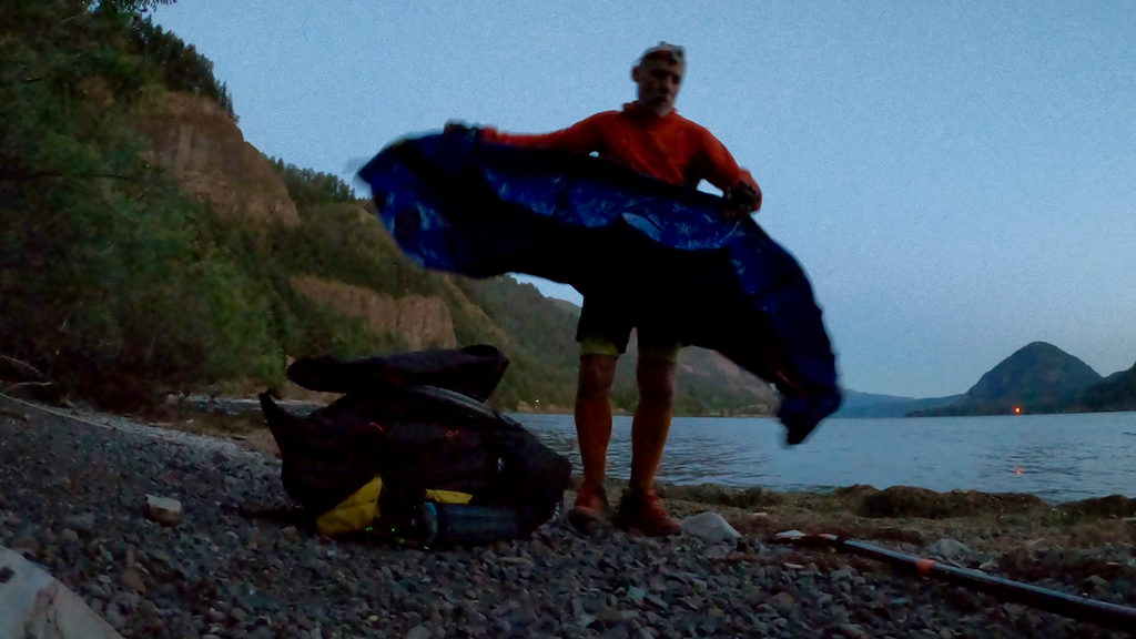
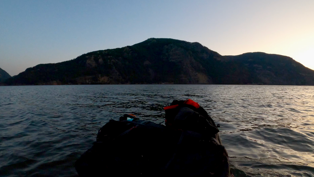
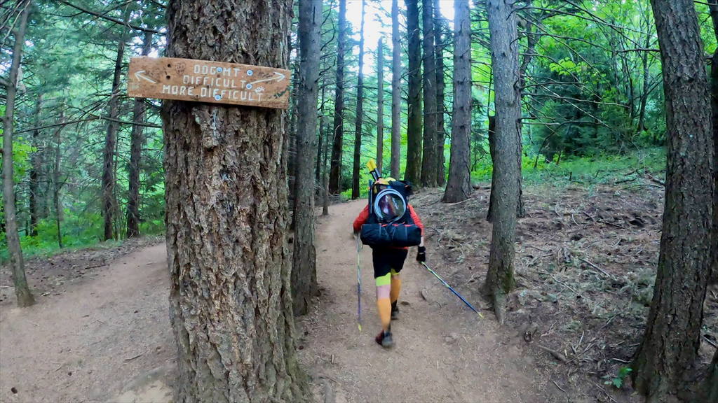
I then transitioned into packrafting mode and made my way across the Columbia to the Dog Mountain trailhead. The parking lot was empty. I packed up the raft and headed up Dog Mountain. It was a beautiful climb in the early morning light, with nobody on the trails. Only on the way down I encountered a group of women, who asked what I was up to. It was obvious they thought I was nuts.
Before getting into packrafting mode again, I devoured another cheeseburger. The wind had really picked up and my careful planning seemed to pay off, at least for now.
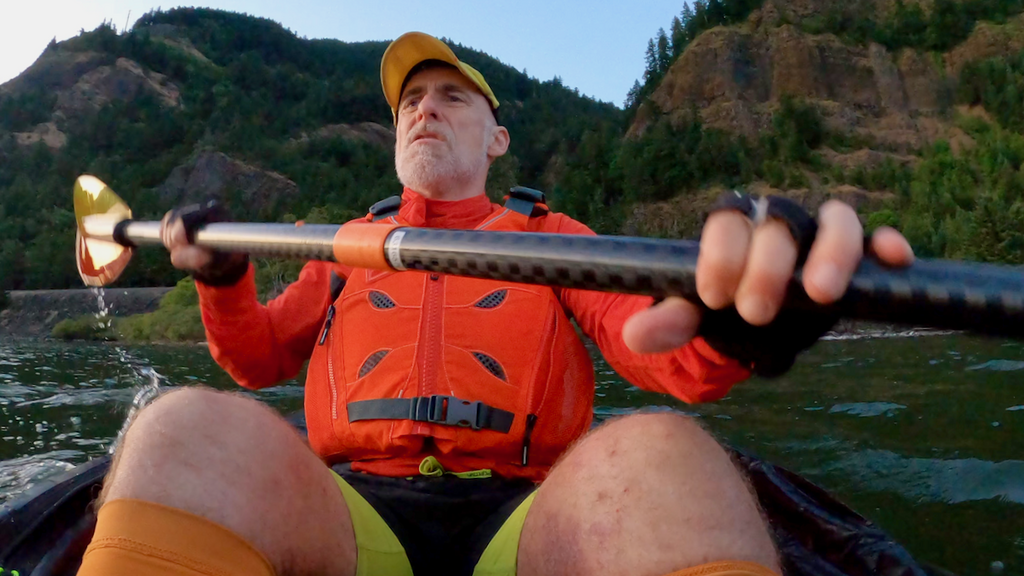
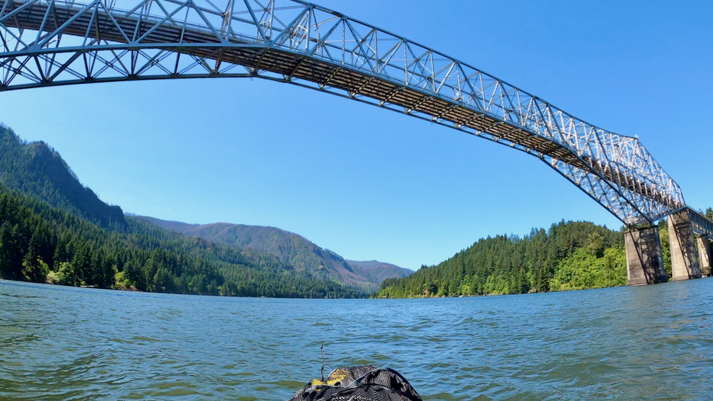
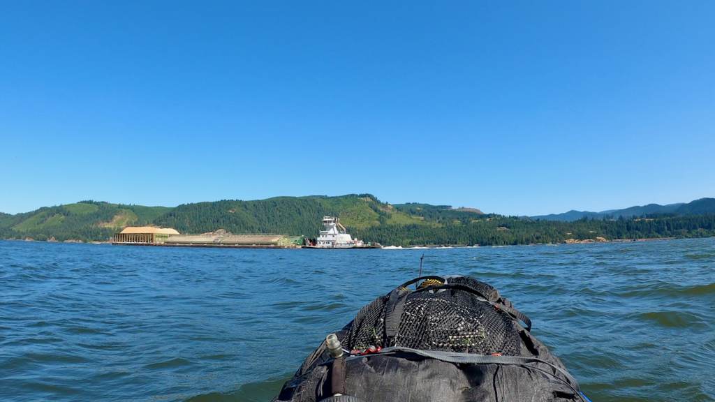
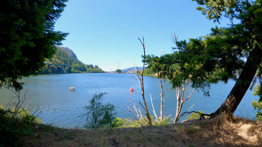
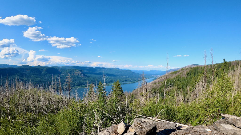
I made my way down the Columbia, tried to avoid collisions with tugboats, barges, kiters, windsurfers, and whatever else was floating around. Floating under the Bridge of the Gods was probably the highlight.
I took out at the Eagle Creek Overlook campground just before the Bonneville dam. My arms and my butt were terribly sore from the paddling, and I had trouble walking after 3+h in the raft. It was time for another cheeseburger.
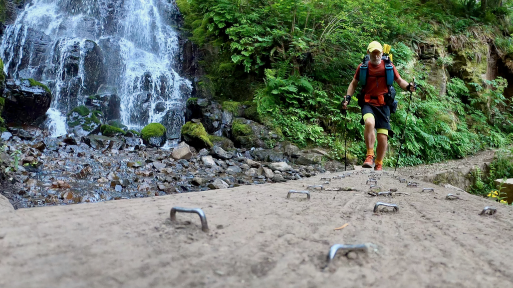
The wind had unexpectedly died and I figured I would be faster walking than paddling the remaining miles down to Multnomah Falls, where I had initially planned to take out. So I packed up everything and started out on the Historic Columbia River Highway State trail.
It was pretty hot, but the going was relatively easy. I could have hopped on the Gorge #400 trail, but that would have probably taken me several additional hours. So I just kept slogging on the most direct route.
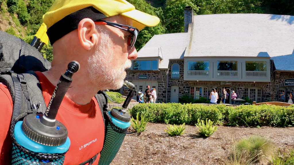
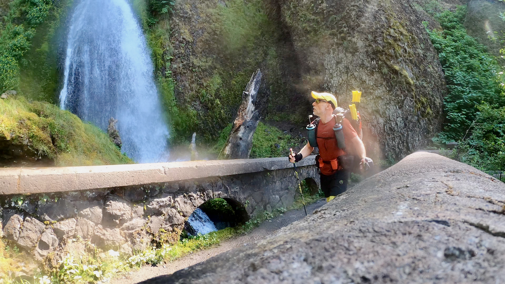
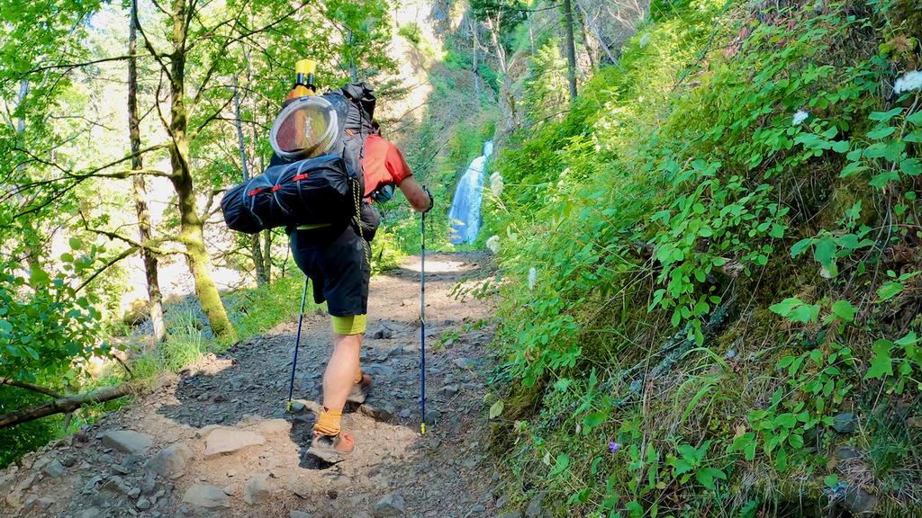
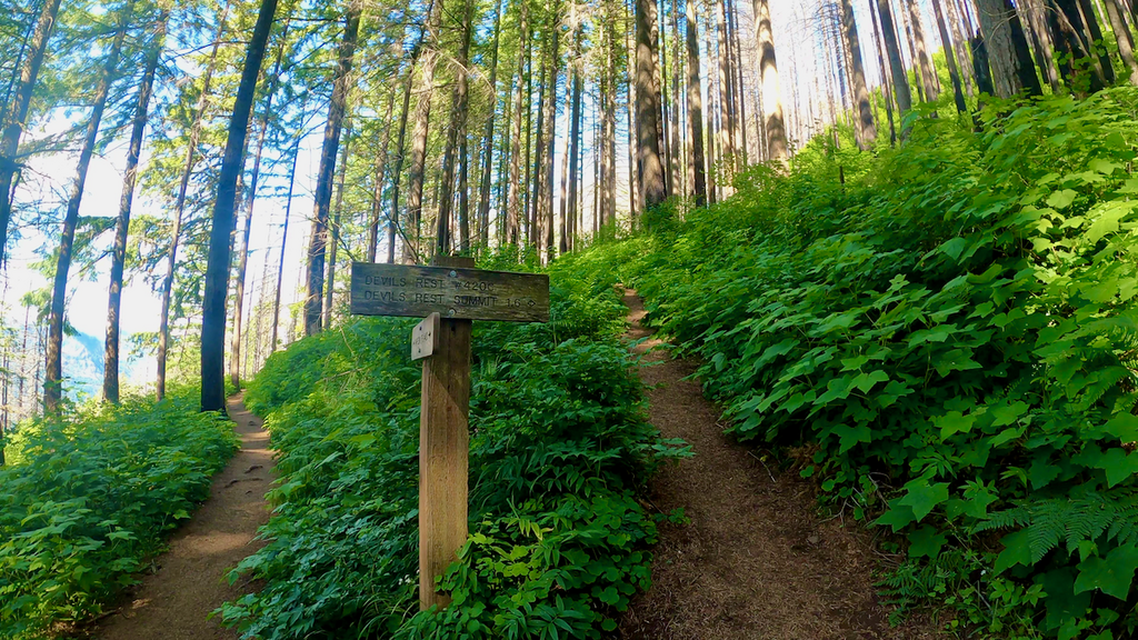
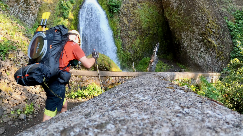
At Multnomah Falls, I really wanted to buy an ice cream, but my unsupported style prevented me from doing so. At the Wahkeena Falls trailhead, I headed up toward Devils Rest. I was glad to leave the waterfall crowds behind. I opted for the slightly longer “official” Devils Rest trail because I was unsure of the state of the various (and partly unofficial) cutoff trails that lead in a more direct way to Devils Rest.
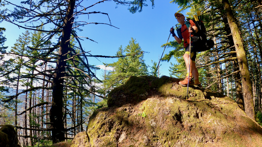
Devils Rest was as peaceful as it usually is. I celebrated my last peak with the last cheesburger. On the way down, I took the shorter route. It was slightly overgrown, but in decent shape overall. I could have saved some time on the way up.
After 18:40:16, I reached the Wahkeena Falls trailhead again and called it a (long) day.