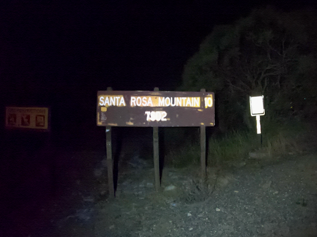


My initial plan was to start at road 74 and to bushwhack (as Rob, Bup, and Zane did on the way down) up to the Santa Rosa mountain instead of taking the almost 4mi longer road. Yet, at the start I made a last-minute decision to take the road instead when I saw the snow on the ground and the amount of bushwhacking that would be required.
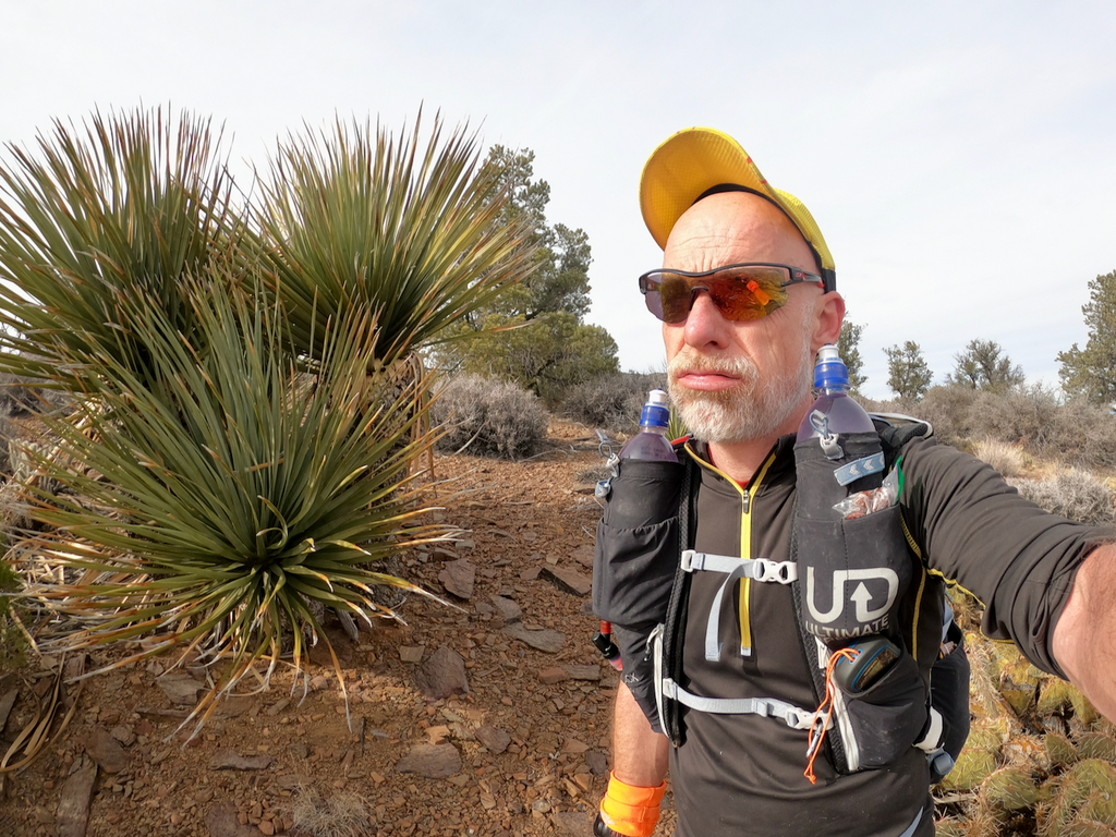
It was 27F and windy. I packed some extra layers, hats, and gloves, and headed into the unwelcoming night. The road was packed with snow pretty much from the very bottom on. My pack felt insanely heavy because I carried food and water for 24+ hours. But I knew it would get gradually lighter.
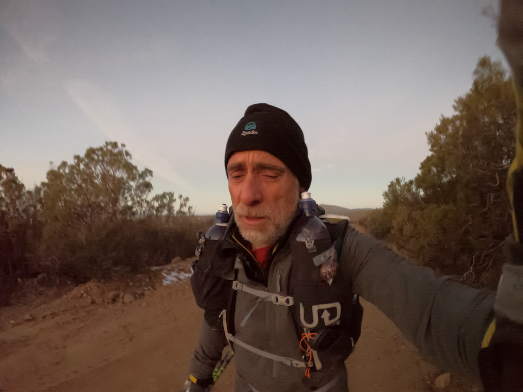
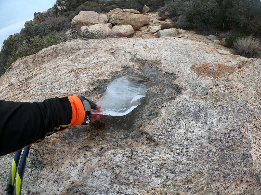
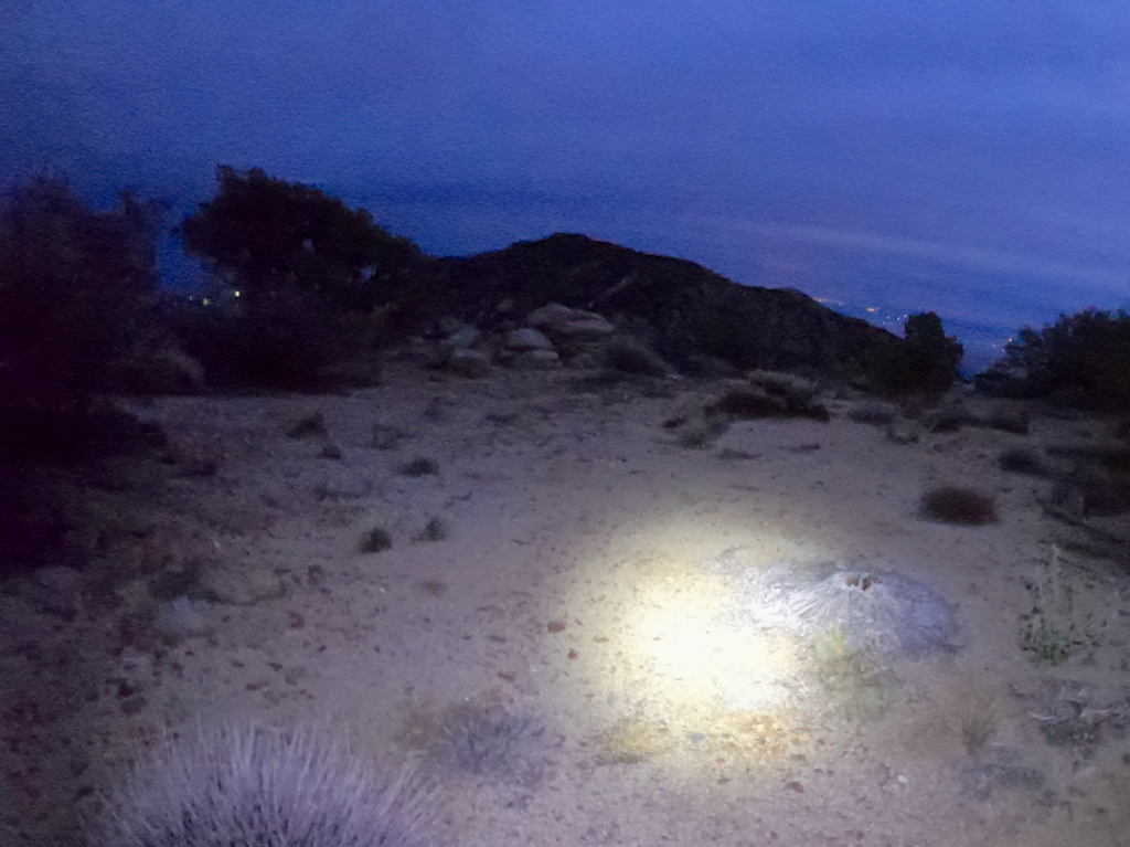
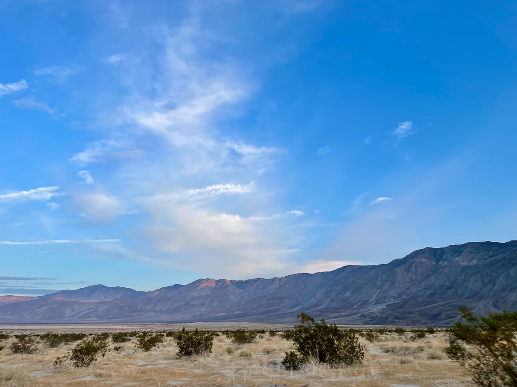
For the first half-day, I was trotting through varies kinds of soft, crunchy, and wet snow. My feet were cold and wet. I figured things would get better at lower elevations. They eventually did. Clouds soon moved in. It stayed rather chilly the entire day and night. I never was able to take my long-sleeve off. The temps were great for moving, however, and I was sure not to run out of water.
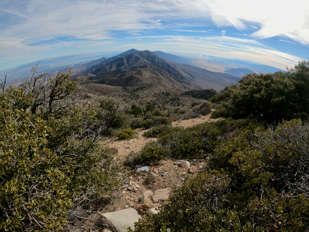
From reading all the reports I assumed the most difficult stretch would be between Toro and Rabbit because of the bushwhacking. I had done some recon up by Villager and for some unknown reason, I thought once I would reach that peak, it would all be easy and downhill from there. I was so terribly wrong! The stretch from Villager to the finish was the slowest and felt the hardest. I would say that it’s not a section one wants to do downhill. Or perhaps I just felt that way because I was tired and it was dark?
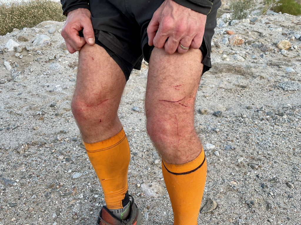
The day went on and I don’t remember much except that there was indeed lots of bushwhacking, many demanding cross-country sections, and never-ending cacti everywhere.
Navigation was non-trivial because of the bushwhacking. You can never really see much if you are making your way through tall bushes. It’s hard to figure out a line and you need to backtrack for most options that first seem feasible. At night, all of this becomes an order of magnitude more difficult. For example, when you search for a line through brush and turn around in all directions, it’s really easy to lose your orientation and to continue in the wrong direction, e.g., from where you just came. I speak from experience…
In addition, you have to pay a lot of attention to not get hurt by the cacti, which are—I’m repeating myself—EVERYWHERE.
The night was long and difficult. The bushwhacking continued and there were some rather challenging cross-country sections in and out of deep and steep canyons. Needless to say that cacti were everywhere (still!) and that a fall into or onto a cacti would be really devastating.
At some point I saw my second animal: probably a cougar. I couldn’t fully see it in the canyon, but it surely acted like a cougar. I tossed bunch of rocks it its direction and it took off after 5 minutes. The first animal was a tick. I didn’t realize they had ticks in the desert.
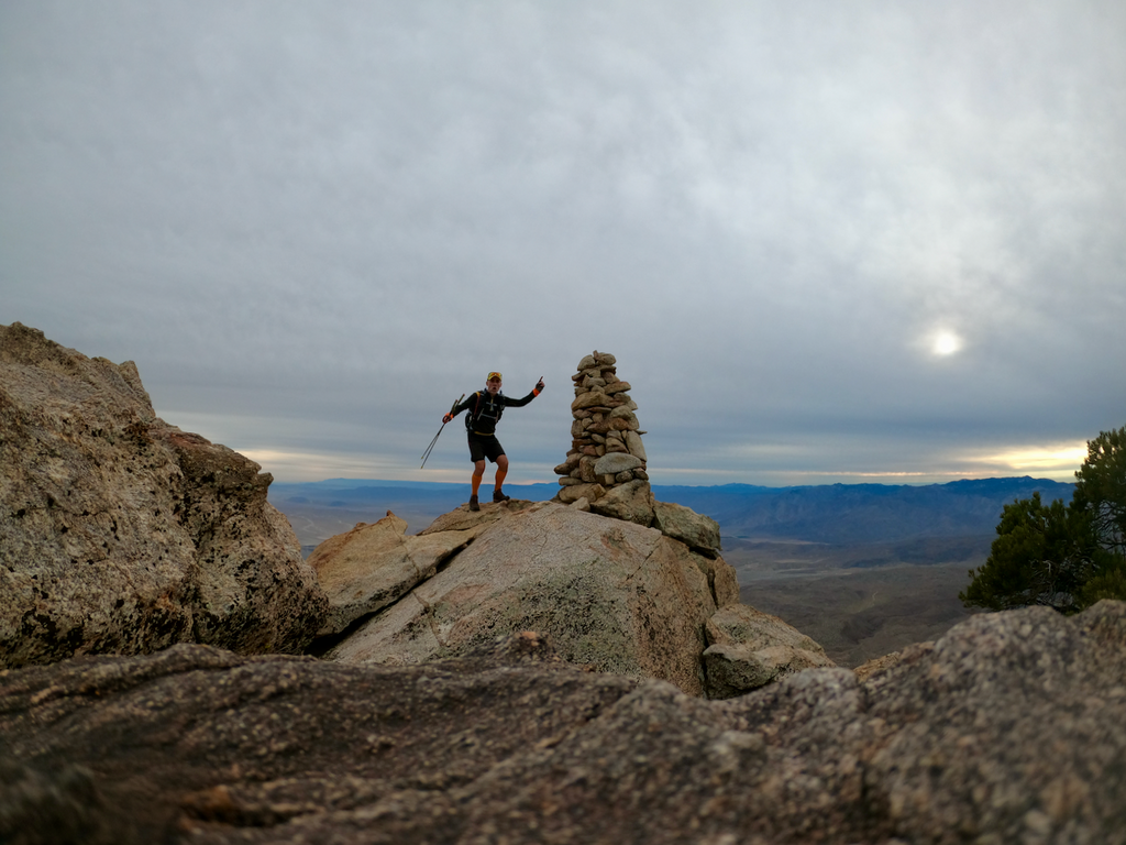
At Villager peak I was ahead of my (oh-so-perfect!) plan to finish under 24h and felt quite good. I could have descended from there to the road without doing the last 5 peaks (the only real bailout option if you go North to South), but given the progress, it was clear I needed to continue.
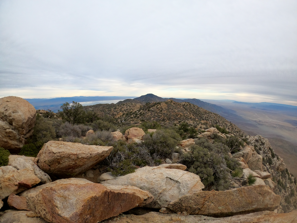
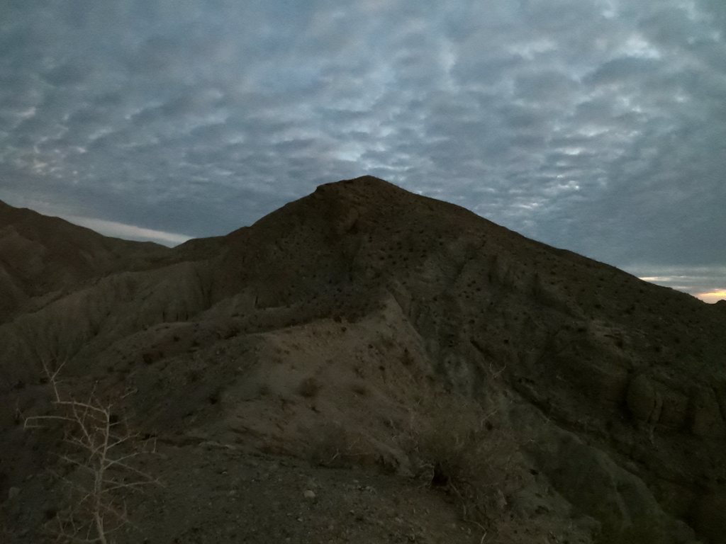
Well, what I thought was going to be an easy finish over some lower-elevation peaks turned out to be a real challenge. The terrain was challenging, especially the descents in loose rocks, it was night, and I was getting tired. The route also gifts you a sheer endless number of false summits. Especially at night, these are always quite frustrating to me.
So the time buffer I had at Villager started to gradually evaporate. When I checked the time once, I was quite shocked that it would soon be daylight and that if I wouldn’t get my act together, I wouldn’t even be able to beat the current unsupported time. Ughs!
Sure enough, daylight broke sooner rather than later, but I still was on the last peak, which was incredibly hard and slow. I suddenly remembered from a report that the “word” technical was used and that it’s best to do it during daylight. Well, I can confirm some sections were exposed and rather sketchy, especially coming down. Nothing really feels stable on these peaks.
Full report and more pics at https://www.christofteuscher.com/aagaa/report-unsupported-49mi-santa-rosa-traverse-fkt