Mountain Stream FKT.
Went out to explore and attach my name to the Mountain Streams FKT. Finished it in 2:57:50. It was 17.84 miles on my watch with 2,522 feet of gain.
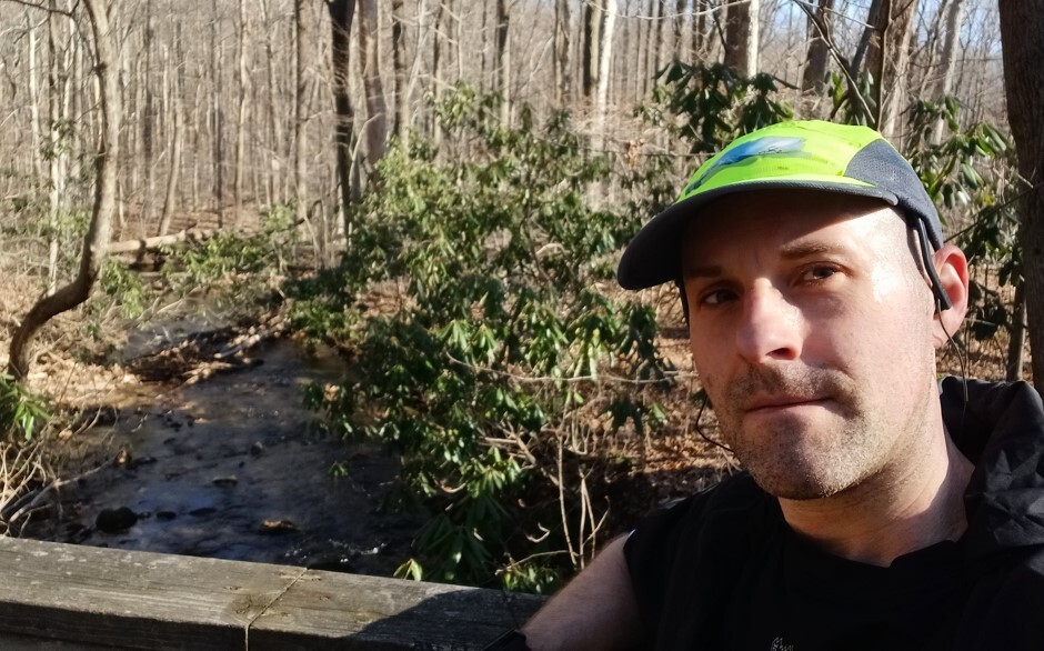
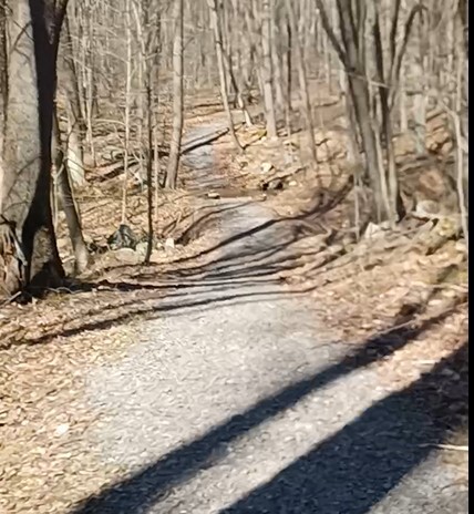
Right off the bat I will state this trail is not really exciting at all. Wasn’t much to see and it left me in a crappy mood after completing it. Only the first .5-.75 miles are single track trail, trail, even then its pretty groomed with some roots. After that initial single track it basically is vehicle or wider the rest of the way. A few instances in double person wide. There is some grass sections, actual trail gravel sections, some road gravel sections, and some fist sized rock sections. It became clear after a few miles that this trail and FKT isn’t that great. I would say its more of a DCNR and Game Commission access road type trail more then an actual trail runner trail. Highly disappointed in it. I was expecting something way better. Granted this is the end of March where things arnt growing but there you could tell there isn’t much to look at the few things that there are, are far in between. The one part your running beside a creek briefly but that’s when you on a gravel road part of the trail.
There are signs at the different turns pointing you in the correct direction of the Mountain Stream Trail. Though I'd still take a GPX file on the watch or phone because at a couple of those sections its hard to tell which exact direction to go because it could point right but there would be 3 ways to go. However, there are some black and yellow gates at turns as well. You do cross more then a handful of actual used gravel roads and you do stay on one for a couple of tenths.
It did feel like you were running uphill 90% of the time. The only time you didn’t feel like you were running uphill was the major decline. Otherwise it felt like you were going up. There was a few houses in the distance in a couple spots and you could see the PA turnpike, I think around mile 4.5-5 range. While I say to take a gpx file with you, I guess it would be hard in actuality to get lost since the trail is so wide and open it's just those intersections. There was a lot of horse crap in the 1st couple miles, you will step in some at some point. So it is a multiuse trail where horses can be used maybe that why its so wide and has so much gravelish section so they can use it and not tear trail up too bad. The grassy section you do have to watch because there are a lot of hoof impression you can twist an ankle in.
The hardest part was the major incline, it was about 2.7 mile up and 1,000 feet. It may not seem bad but it was such a steadiness type climb that it drug on forever, I mean 2.7 miles is a long time to be going up plus this is where the fist sized rocks were, was a lot of ankle rolling here with the leaf cover, can't really go fast while going up or down without twisting an ankle or tripping in general. The end is definitely anticlimactic. It just ends near a road nothing exciting to see.
Did put my jacket on the way back because the climb did get me a little sweaty and un top it was colder and breezier. Got to the top about 1:26 range. Should have blasted back and done negative splits but it was about the same way back. Just was unmotivated to run the FKT back. Legs did start to get stiff and tired from running so much on gravel and not trail while wearing trail shoes. Just was glad to be done when I finished. Was also way behind on nutrition, was feeling it pretty bad. Was about 2,000 calories behind on the day and I could tell.
The couple of pictures I did take were at the only couple of spots that remotely looked nice. Expect a dreary trail that is geared more for horse and hiker use than running. Also would not run this when it's hot out. You can tell the trail will bake you alive from the heat from being wide open and on gravel. Also expect the grass to be tall and brier bushes covering parts of the trail. You can tell also its not maintained extremely well and will get covered in summer.
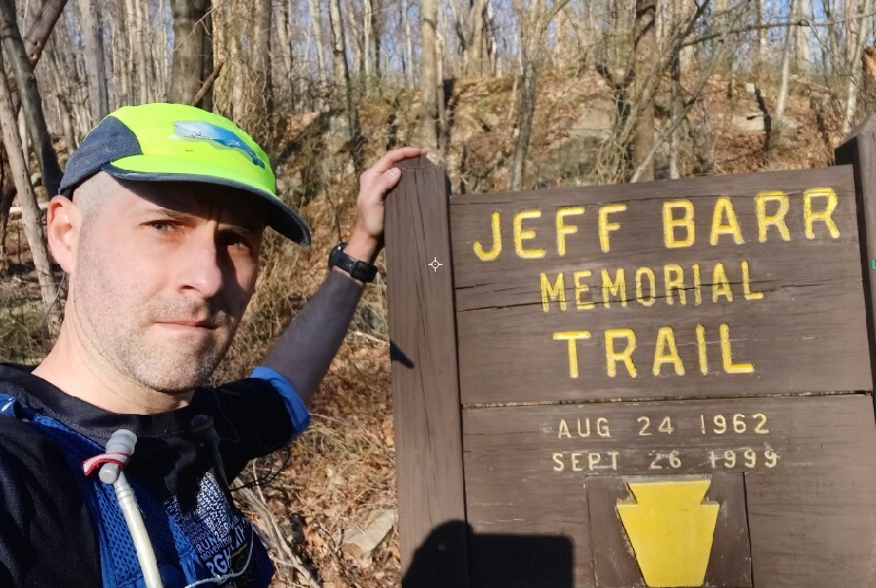
The first mile is The Jeff Barr trail till it becomes the Mountain Streams Trail. The Jeff Barr part is the best part of the trail and it branches off. Not sure how much more it encompasses but it does go off in another direction.
This trail is one I've been wanting to visit since I drove by it countless times while heading to the LHHT, but never stopped till yesterday. Its one of those one and done type trail. I do not ever plan on going back unless I absolutely have to.
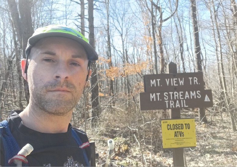
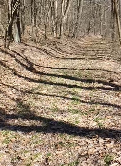
The pictures are me at the one nice bridge, me at the beginning of the trail, me at the end of the trail, one of the better smoother parts of the climb and then a pic of the double wide gravel part ((not the vehicle wide gravel parts)).