
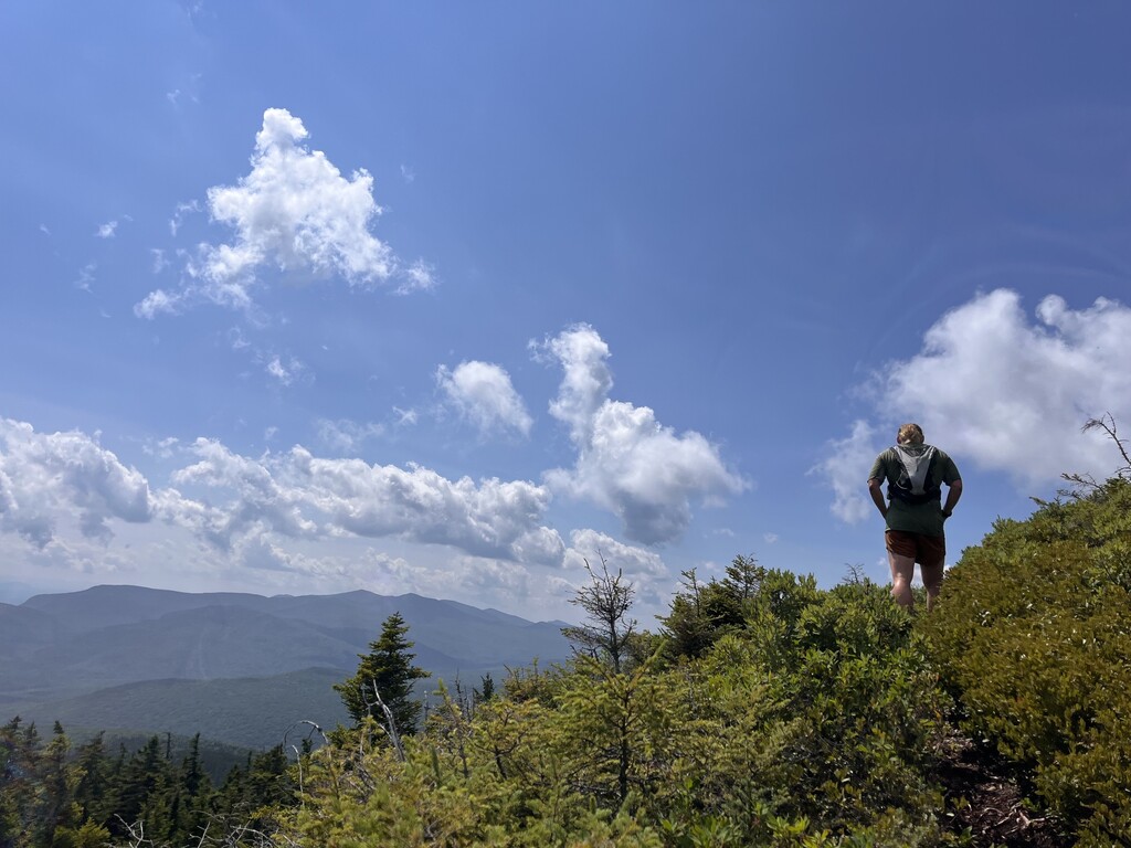
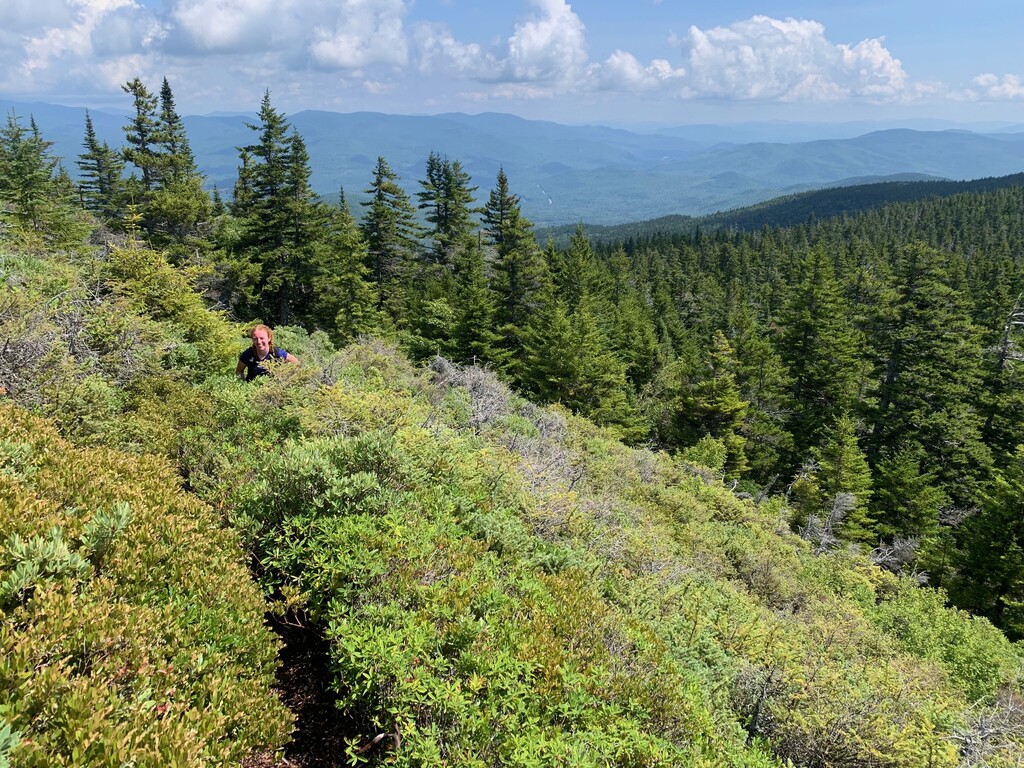
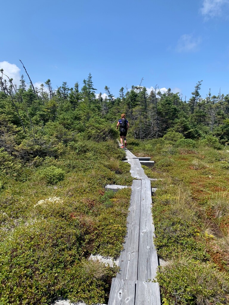
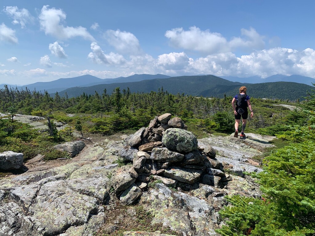

From Rob:
Always bring extra calories for the ghosts.
—
“Wild River has been called ‘a child of the mountains,’ but at times it has little in common with a well-behaved child. In an hour’s
time, during certain seasons or during one of the sudden and heavy showers that occur in the White Mountains occasionally, it
swells into a tremendous torrent - fierce, violent and dangerous - acting as though it were its duty to protect from trespassers the
wilderness it drains.”
- “The Wild River Wilderness: A Saga of Northern New England” by D. B. Wight, 1971, Courier Printing Co.
—
The road has been closed for years. Floods and washouts. To get to the trailhead I am riding Maia’s drying rack: an old steel-frame
hybrid bike that had been retired to clotheshorse duty and eventually inherited by me. I didn’t learn to ride a bike until I was 18.
Spitfire is encouraging and I even ride through a washout without gravity claiming me. But I am concerned about the return trip, after
what is to come.
—
I am this Tawny Grisette (Amanita flavula): freshly burst from its universal veil to greet the day.
—
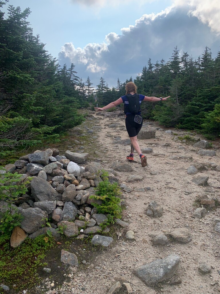
Too caffeinated. I drag us up into the Carters too quickly. Skin turns to faucet in the humid sun. Each peak rises ahead like a wall, or
a wave crashing.
—
AT thru-hiker: “Yeah RUN RUN RUN! GET THE BODIES!”
—
I am this Violet Webcap (Cortinarius violaceus): at home in the green boreal but wearing the colors of another world. “Are they
edible?” asks a passing hiker. “No, most corts are toxic but they can be a feast for the eyes.”
—
Spitfire’s whoops get stronger with each summit. When she sings aloud I know she has hit her stride. We’re riding the crest of the
waves and laughing at the troughs. I bailed on this route 12 years ago. Overconfident and underprepared. It has been a tiny
mosquito whining at my ears ever since.
—
First they get in your mind; later they haunt and prank. Mischievous spirits of the Wild River valley slow us all day with doubt;
unpredictable water; indigestion. Didn’t bring enough food. And this is definitely going into the dark. After passing No Ketchum Pond,
where the conflagration that scorched this region began, the shenaniganery intensifies.
—
I am this Tamarack Jack (Suillus clintonianus): red, slimy, gelatinizing.
—
My rationed Pop-Tarts will just barely see me through, until I realize that my penultimate packet (400 cals) has fallen out of my vest
somewhere. Always bring extra calories for the ghosts. That way your headlamp won’t die.
—
Spitfire is a talented descender, even by phone light. Her headlamp white light is flickering and what is left of the red light must be
saved for the ride out. The wind is screaming all the way up West Royce. Quick slab naps take the edge off the fatigue and hunger.
—
We’re done but it won’t feel that way until the bike ride is over. No, it won’t feel done until food is in our mouths. Or maybe when my
head hits a pillow somewhere. We ride out on one and a half beams of light, then just one. Maybe it won’t ever feel done; just one ghostly prank to the next.
From Erica:
At some point this year, Rob and I realized that we both wanted to do this route. We picked a day far in advance and crossed our fingers for decent weather. We were lucky that it didn't storm, but the heat was a contender for sure. I left work the morning of at 7 am, so we didn't even get the benefit of an early start.
I hate calling routes "abandoned". Just because no one has done it in 4 years doesn't mean it isn't worthy of being done. On paper, this route looks like an excellent substitute for the Pemi loop, part of which is closed for construction this year. In reality, people are probably put off by not being able to drive right up to the trailhead, or running on trails that they've never seen before, contained within one of the lesser-travelled wilderness areas in the Whites. I say that all just makes it more interesting.
We biked into Burnt Mill Brook TH and started up the road towards the Shelburn Trail. Even with the lack of rain in the past few weeks, the river crossing required wet feet. We both elected to take off our socks and shoes, but only one of us kept them dry. Hint: it was not me. Oops. Trying to find the trail again on the other side is a bit of a chore. You have to cross a large area of flood damage to find the junction with the ruined Highwater Trail. Trust the gps. Mine took me right to it.
We made good time heading up Shelburn. A little over 4 miles in (total), there's a small creek, which turned out to be the last good place to fill until Imp. We filtered water here and filled our packs to capacity. I have never been on many of these trails before, and the last time I was on the Carter's was in the spring when water was pouring off the sides of the mountains by the gallon. Today, the heat demanded a stop at every puddle that looked even remotely deep enough for my face. On the ridge, you do NOT need to hike down to Imp to get water. Just 0.1 miles south of the spur to the shelter, there is a small stream that crosses the trail. Just a little further beyond that is a reliable brook that runs along the right side of the trail.
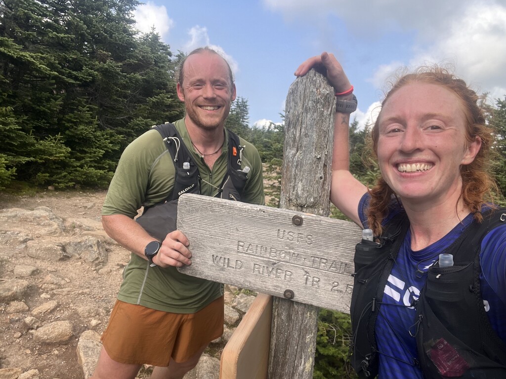
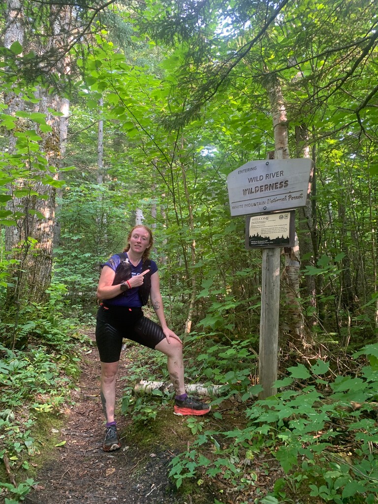
I struggled with an early low, fighting some intense muscle weakness. The climb up North Carter was hard, but I found some mental strategies for dealing with it while my body processed all the carbs and fluid I was trying to throw at it. We saw many thru-hikers with fun shorts, and lots of different mushrooms! The next place we found reliable water was a small stream at Zeta Pass. I was dreading the climb up Mt. Height, but it wasn't as bad as I had built it up to be in my head. My body was definitely turning around. Skipped over the top of Carter Dome and waved goodbye to populated trails as we headed down the Rainbow Trail. What an excellent trail! 10/10 would run again. We re-entered the wilderness and cruised along next to the headwaters of the Wild River. Rob told me the story of the 1950s fire that made the Baldfaces bald, which was apparently started by some fishermen camping at No Ketchum Pond. There are a multitude of reliable water sources down in this valley; I'm not going to list them all.
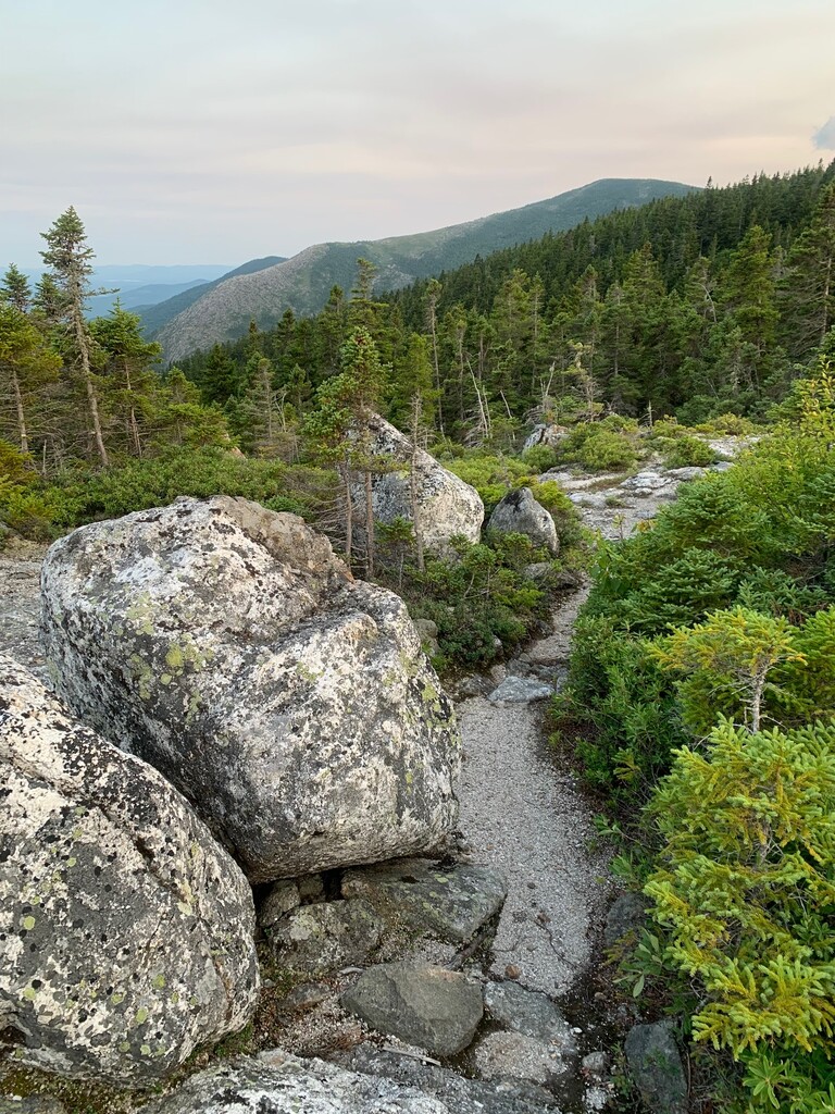
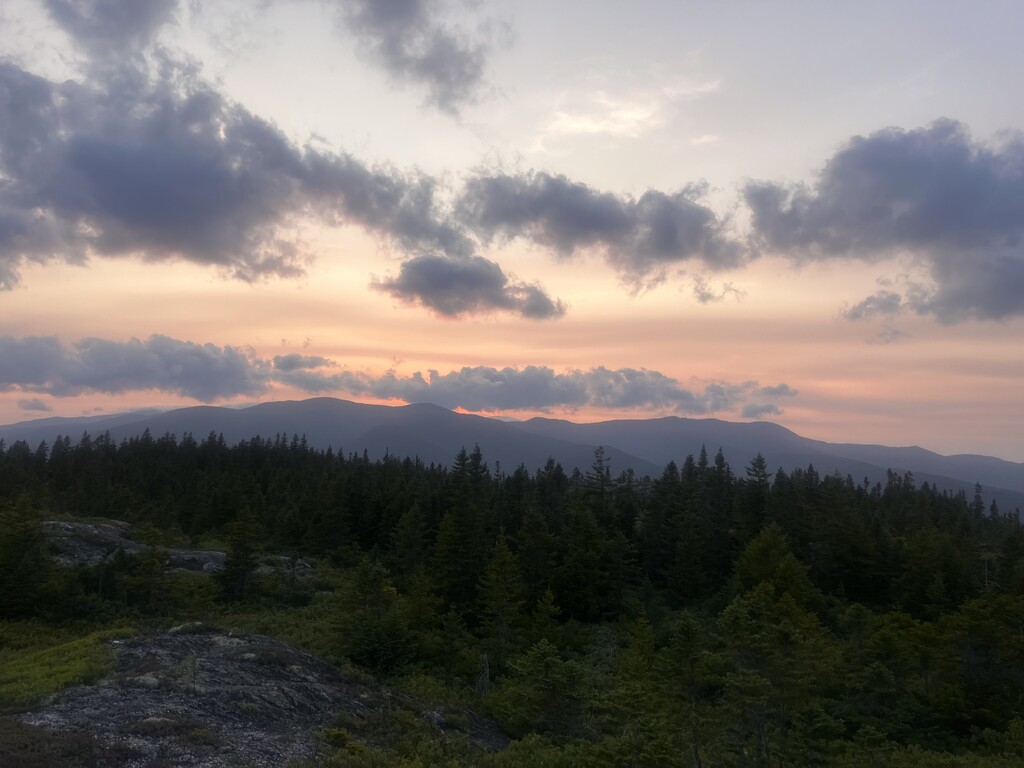
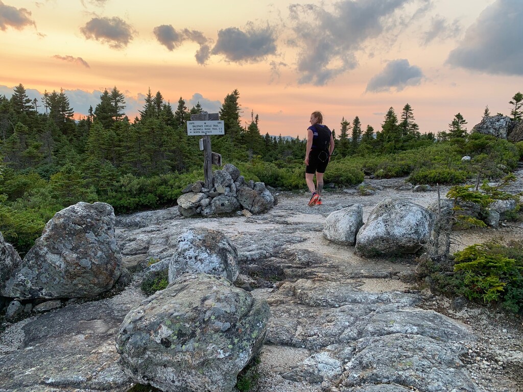
Heading up towards Meader, we raced the last traces of sunshine. About a half mile before gaining the ridge on the Eagle Link Trail, there is an excellent and reliable water source that crosses the trail. Once we broke out of the trees at the junction, we were rewarded with lovely sunset views of where we had come from. What a blessing it was to be there and then! The wind picked up as the sun went down, but we never got cold - a testament to how warm it was out there. Somewhere along the way Rob realized that he had sacrificed some calories to the forest spirits. Between us we now had one Pop-Tart, one Clif Bar, and one short stack of Ritz crackers. We tagged the summit of Mt. Meader and donned our headlamps for the final 10km push of the route. I joked that we could just go down the Basin Trail and do the short loop instead, but Rob wasn't having it.
Somewhere on the way up Royce my headlamp died. This was probably poor planning and 100% my own damn fault, but we're blaming it on the forest spirits. Luckily, I hadn't used my phone much today and had plenty of battery life to use the phone flashlight for the last 3.5 miles. It should be noted that the climb up Royce is dry as a bone. The weakness returned to my legs, but nothing could stop us now. Rob spotted our bikes (stashed in the woods) just seconds before I spotted the parking lot.
5-star review for the employees at the Gorham McDonald's. We arrived 5 minutes before closing time (midnight), and they didn't kick us out or get mad or anything. They actually seemed really stoked to serve us. Best fries I've ever had.