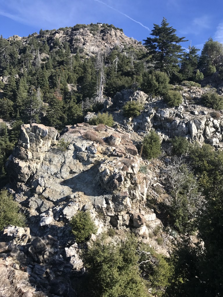
The Cone Peak sea to sky route, aka stone ridge direct ascends from hwy 1 at about 200 ft to Cone peak, 5155. Cone peak is only three miles from the ocean as the crow flies, making it one of the steepest coastal mountains in California. The route starts on official trail, but then heads straight up stone ridge, although a nice use trail has now been worn it. There aren't switch backs, it goes right on up. You make your way to the summit of Twin Peak, and take the ridge over to Cone peak which includes a bit of class 3 scrambling. Fun fun.
As noted on the route description page, there is a strava segment for this, but it didn't pick it up on my strava recording for some reason so I don't show up on it. The previous fastest time noted there was 3:38:40 by Kelsey Farabee.
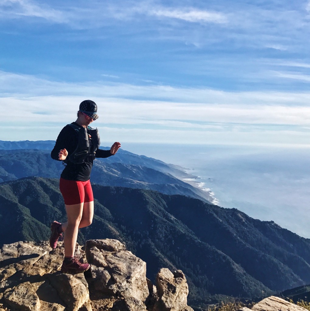
From Instagram(which has a few more photos plus some video clips):
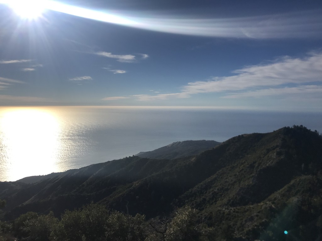
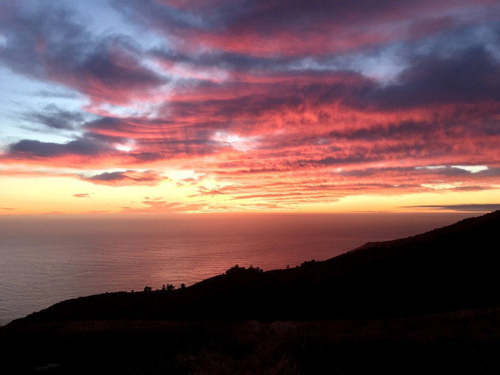
Cone Peak Sea to Sky aka Stone Ridge Direct fastest known time, women's solo unsupported 3:15:28. Cone Peak is my second favorite mountain. It's in big sur. This route goes from highway 1, close to sea level, up to cone peak at 5,155 ft, straight up stone ridge in only 5 miles. It's steep and straight up the whole way, no switchbacks. There is now an unofficial use trail the whole way, and conditions were priiiiiimo yesterday. The funnest part of this route is you go up to Twin Peak first, then there's a little scrambling section to connect that ridge to cone peak. I did this route last year and the last bit of class 3 moves scared me down to the trail that bypasses the last rocks on the left, but I got way better at mountains since then so it was chill this time. If you're gonna go beat my time, the route includes the rocks. ;) Test ya holds good tho bc I almost pulled one out. Views views views views for days. So beautiful. Instead of taking the ridge straight back down I took gamboa trail around to get some actual running miles in, that way is around 9 miles instead of 5, great conditions right now, hella runnable, and damn y'all every big sur sunset I swear is the best sunset I've even seen. There's hella water at trail spring camp rn, which is a mile or so below cone peak summit, not on route. After you cross limekiln creek at the beginning there is no water on route. I didn't bring a filter so I carried all the water I needed for the day (like 3 liters ?) up the damn ridge, ha. Ran out right when I got back to the truck, perfect. Started my timer at the boulder just before the gate by hwy 1 at 10:50, Twin Peak summit at 1:28, cone peak summit 2:06, back at the car 5:55, although the fkt is just the ascent.
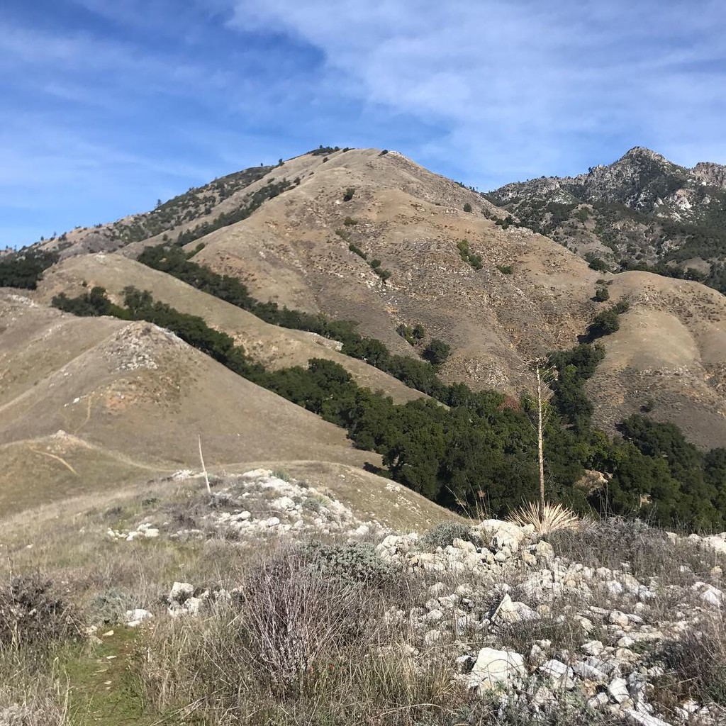
Pic 3 shows the ridge route up on the left side, with cone peak in the background. 6 is a selfie on Twin Peak with the ridge to cone peak. Perfect day. Perfect day.