Phew, that was a big day! I way underestimated how long it might take, mostly the back half when I assumed I'd be running a lot more. Except for the 3 miles down Control Road, the east side trails are a lot of work.
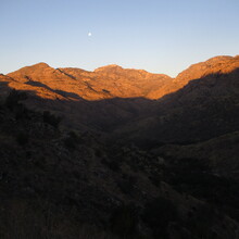
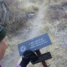
Everything started simply enough. I got going before sunrise and had a lovely morning following the trail along Sabino Creek. I'd seen sections before but a lot of it was new to me. Hutch's Pool area has plenty of water - very helpful in a dry time of the year.
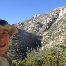
I'd forgotten just how much steep climb there is between Romero Pass and the turn-off to Wilderness of Rocks. My legs started questioning this endeavor at that point. It was worth it to gawk at the cool rocks again, and my one prior jaunt through this area paid off with a lot less questioning of where to go - the cairns are great, if you're looking in the right direction. The little creek in Marshall Gulch was iced over and I was glad to have poles to help with the crossings.
Beyond Bread in Summerhaven was a great resupply stop (a pastry to eat, a large cookie to go, water for filling bottles, and a warm place to sit). Then over to Control Road for the run down to the next trailhead. The nice surprise was that people have been doing a lot of work on this trail and it's completely free of vegetation (contrary to previous reports). Major thank you! I found 1-2" of snow here and there on the trail but it was a non-issue. The consistency is perfect, nothing icy or slippery.
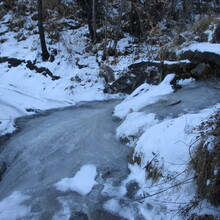
Except! One drainage crossing below Butterfly Peak was solidly iced over (see photo). I decided to try donning the Nano Spikes I was carrying but it still seemed too sketchy, so I climbed down into the thorny brush before the ice and clawed my way up the other side. Not ideal but it worked.
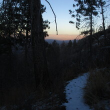
Holy cannoli, the climb up to Bigelow is a haul. I found the most snow in that section and my toes got a tad chilly but otherwise it was fine. It was dark by the time I reached the high point of the route. I was hoping to pick up speed on the downhill, and that did happen occasionally. More often I was picking my way down steep and/or rocky drops. I accidentally visited Leopold Point (bonus points!) as a minor diversion.
Finally I was back on trails that I knew from my recent TEST FKT. That helped me with knowing what to expect so I could stop referring to the Gaia track. It didn't help me get up the little hills any faster. Especially the steep climb up from Middle Bear picnic area. I think I need to train my climbing legs some more (good thing there are plenty of places around here for that).
The remainder of the trail got a bit more runnable, punctuated by the ever-present Catalina rocks that slowed momentum. Finally I was back at the truck, only 3+ hours later that anticipated! Thank you Matt for creating this route in the same vein as the one around Flagstaff!

