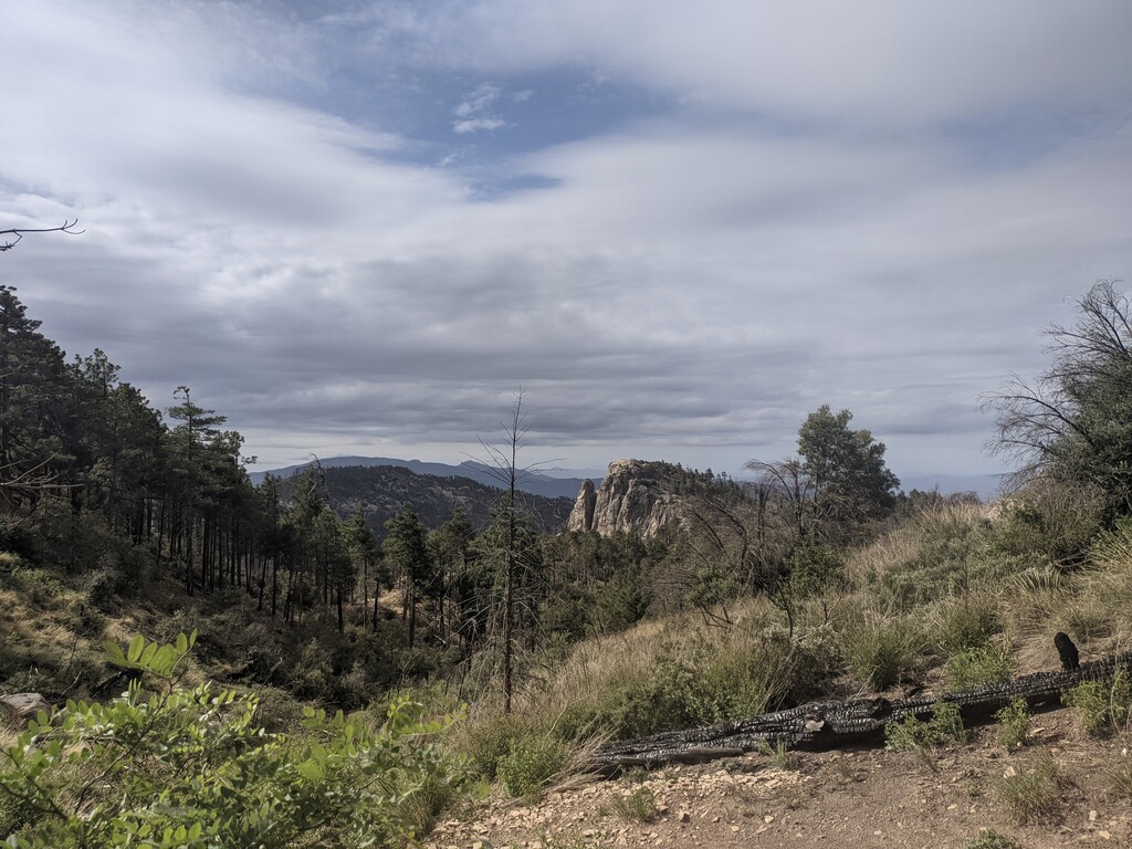
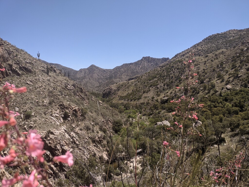
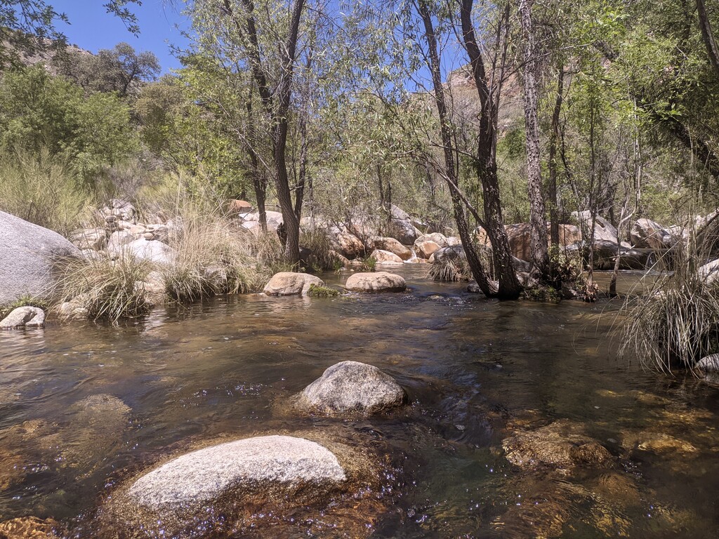
Location
Arizona,
US
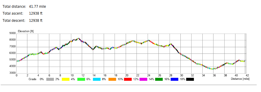
Distance
41.77 mi
Vertical Gain
12,938 ft
Description
GPS Track
FKTs
Female
Male
| Brianna Grigsby | 9h 13m 55s |
| Marcy Beard | 16h 48m 12s |
Images
Comments
I'm planning to try this tomorrow, looking forward to exploring some new-to-me trails in the Catalinas
Completed (self-supported) in 16:48, just submitted. That was tougher than it looked!
Just came across the Route. I will be working on an FKT on in and will do a recon loop this Sat in Self-Supported fashion. I see no Male Self-supported, so I will likely claim that assuming I make it all the way around.
Completed Self-Supported in 15:29... Submitting now. Fun Route!