After multiple scouting days and one failed attempt, I refined the plan and found a window of opportunity to spend 3 days in the mountains east of Tucson. Husband John was game to help again (schlepping and stashing stuff, plus accompanying me a couple times) and our friend Gavin was interested in doing the trek over Agua Caliente. The weather was beautiful, there was no snow up high, and the only logistical challenge was dealing with basically zero water sources anywhere on the route. Not something I would try without support this time of the year.
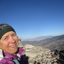
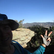
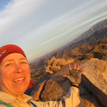
Day 1 began with a long climb to the top of Rincon Peak. I was beaming on the way up, so pleased to be there again, and hopeful for a successful outcome. I returned to the "Mi-Con Saddle" (as I call it) where John left my next food/water supply in a RatSack. He had gone on ahead to Manning Camp to treat water and leave it near the trail coming down Mica (thank you SO MUCH!). We crossed paths as I was climbing up Mica, see you tonight John!
After all that climbing it was nice to be going downhill for a ways. I found a good log at Cowhead Saddle to sit on and hide some water that I didn't need yet. Then it was on to the out-and-back to Tanque Verde Peak. One benefit of having done this whole day once before is that I had a much better idea what to expect in this section, especially since you can't see the peak until you are almost to it.
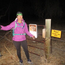
Happy to still have daylight, I bopped back to Cowhead, grabbed the water stash and set up my gear for the coming darkness, and continued downhill. I was pleasantly surprised to reach Douglas Springs before sunset, and actually had a decent amount of ambient light from the city most of the way down the trail.
I'm not fond of the next section in the dark but it can't really be helped, and at least I've seen it a few times now and finally figured out a reasonable strategy to combat the catclaw vines. It still took a while and I had to fight my way to the side creek at the bottom, but then it was easy travel straight up the main wash (no water to avoid). One more short uphill haul and there was John at the truck.
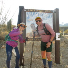
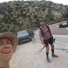
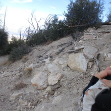
This time I opted to return to the house overnight instead of trying to find a place to camp on Redington Road. The next morning we picked up Gavin and returned to the Lower Falls parking lot to start day 2 (yay for making it past day 1!). Gavin enjoys off-trail travel, which is good because we had a lot of it on the way up Agua Caliente Hill. Bonus was seeing 3 deer and a bunch of javelinas! Prior scouting trips helped with efficient route finding, and only one sharp shin-digger managed to poke my toe on the way up (amazing considering how many of them guard the side of that hill).
My legs weren't super keen on bombing downhill, even after we had picked our way down the steep parts at the top. We saw three mountain bikers coming up, carrying their bikes - wow, I'd rather be doing what I'm doing instead of that. Gavin and I dropped down through the next beautiful wash, climbed up the other side, and worked our way to the AZT.
Left turn, more climbing, over a tall saddle, then down to John at Molino trailhead. Hi John! Gavin was up for a bit more trail trekking so he continued with me up to the Gordon campground. Thanks for the excellent company, Gavin!
I had some daylight remaining, so I booked it up toward Gibbon Mountain. Feeling the sun dropping was motivating for getting as much of this section knocked out as quickly as I could. Going up the last ridge, I was stunned to come across a gray shirt that John had unknowingly dropped during a previous scouting mission - we had gone back to scour the area but couldn't locate it at the time. Merry Christmas John, I found your shirt!
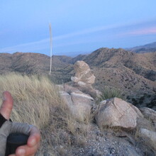
Happily I didn't need a headlamp for the rocky stuff on top. That made the off-trail travel a lot quicker. It was dark by the time I returned to the AZT. One short run back to the campground where John was waiting with the tent set up for the night.
Day 3 = last one! I was excited to see the (new to me) trails, following the alternate AZT around to the north. John hiked in to meet me and we trekked over to Airmen Peak together. This was incredibly helpful because he could find the least obnoxious path up the slippery vegetation-filled gully. The descent went better than expected, then a bit more off- and on-trail travel got us to the next trailhead.
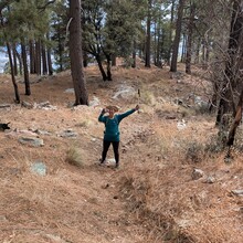
I trekked the trail around and steadily uphill, finally at the last little challenge of the adventure (where John met me again). Green Mountain has a "sort of" trail up it, and I was glad my legs were still OK with that kind of climbing. Of course I was going to get there one way or another!
Thank you Brian for this really interesting FKT route and the inspiration to tackle it (more than once)! It was a truly excellent adventure.

