On January 9th, 2020 I attempted to run from the lowest point in Delaware to the highest point. I wasn’t too excited about it initially since it’s all in town, but it turned out to be more enjoyable than I was expecting. This part of Delaware is not flat. In eight miles I gained almost 700 feet.
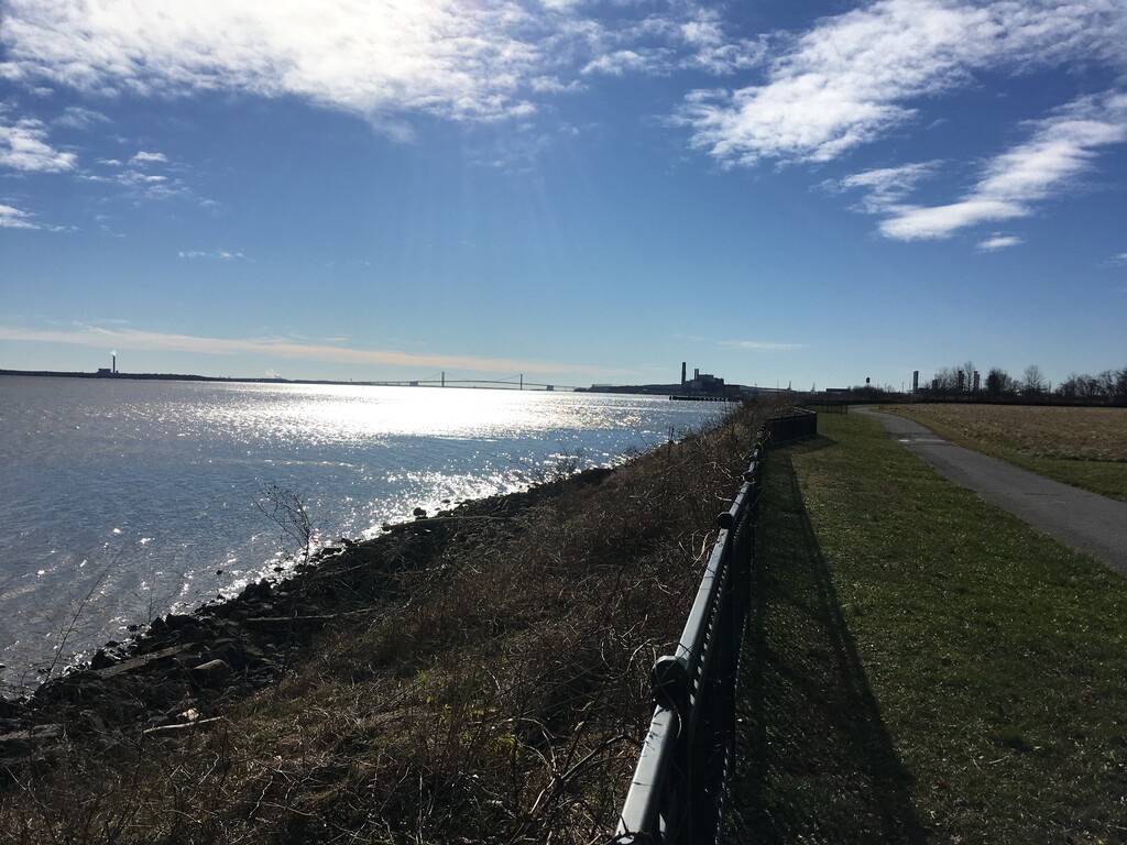
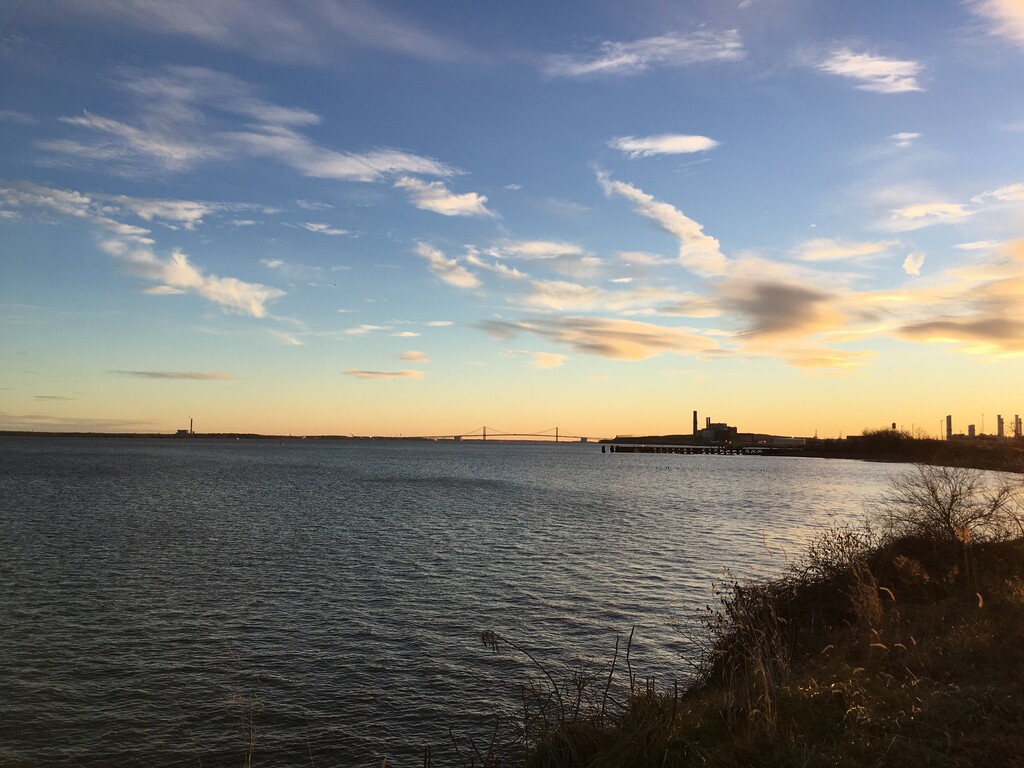
I started from the fence next to the river in Fox Point State Park at 1:30 pm. Part of the fun of this course is figuring out your own best route. I ran down the bike trail, turned right on Edgemoor, then north on Marsh. Shipley Rd may be a good alternative here. I would not recommend Grubb Rd near Longcome Park. Everything north of Grubb has fairly light traffic. Naamans Rd should be crossed at a crosswalk. I would definitely recommend doing some route recon first. Please use common sense, don’t go during rush hour, go in daylight, wear bright clothing, no earbuds, etc.
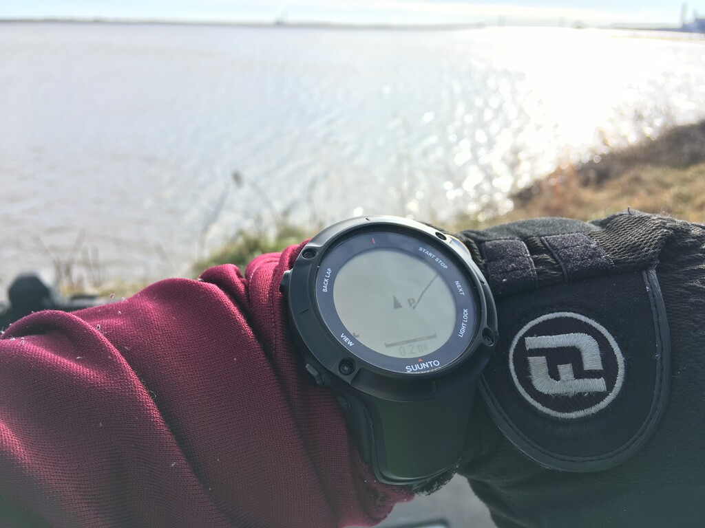
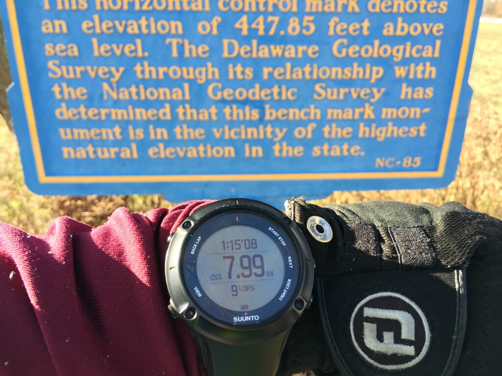
Even with a gps track on my watch I managed to take a wrong turn. I had to stop at a few crosswalks too. Many drivers were very courteous and stopped for me at crosswalks. I reached the sign for Ebright Azimuth at 2:45 pm. I ran by myself, and only consumed about 8oz of water and 40 calories. Stomach didn’t feel great, I may have eaten too many apples the night before. Then I took a few pictures and ran back to my car. I ran by myself with no support.