Location
Delaware,
US
Distance
8 mi
Vertical Gain
670 ft
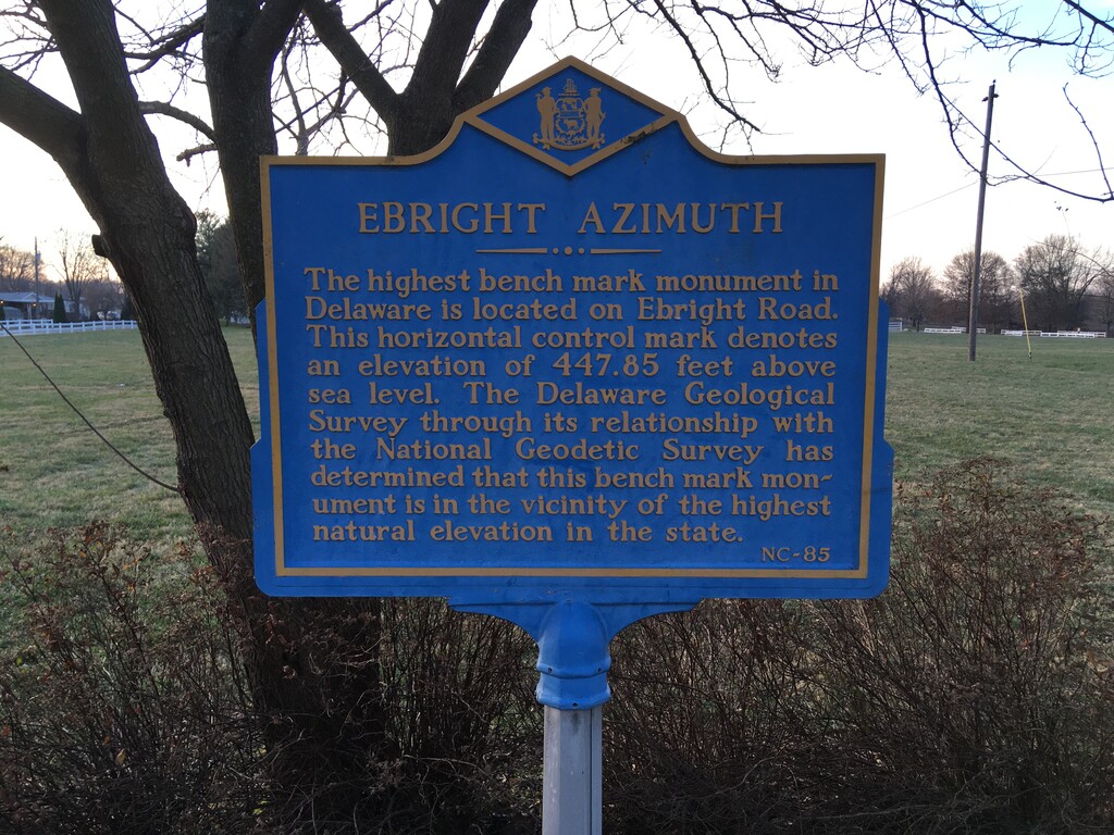
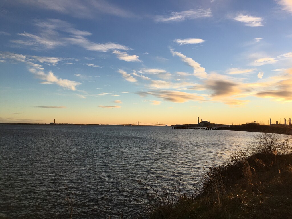
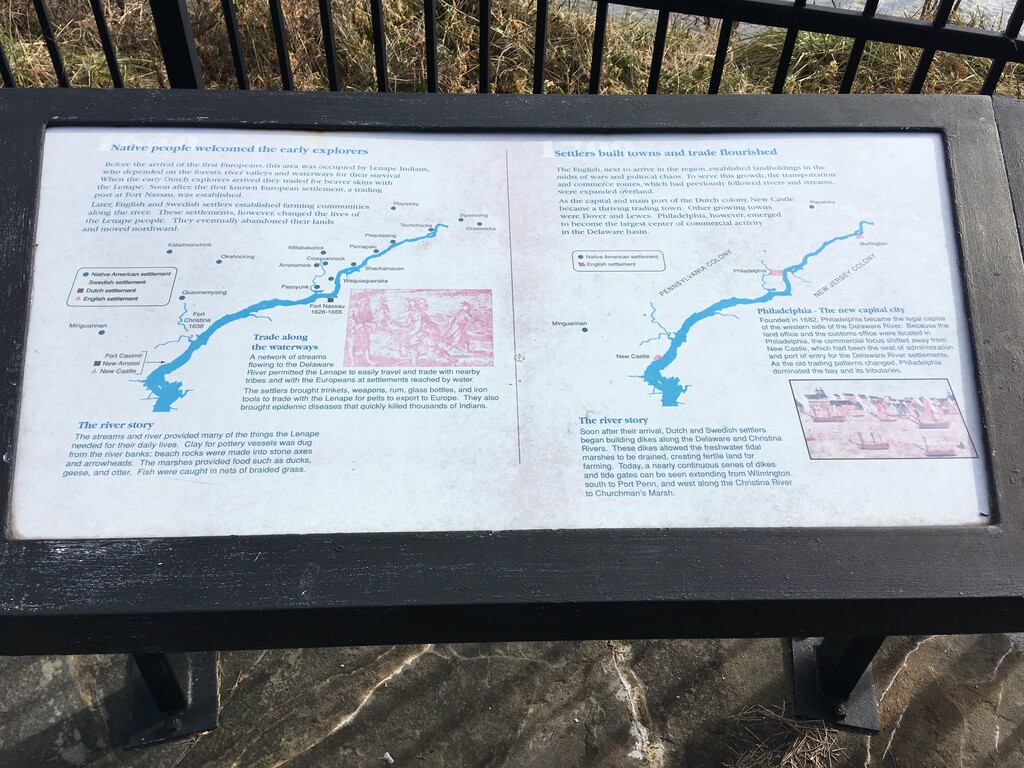
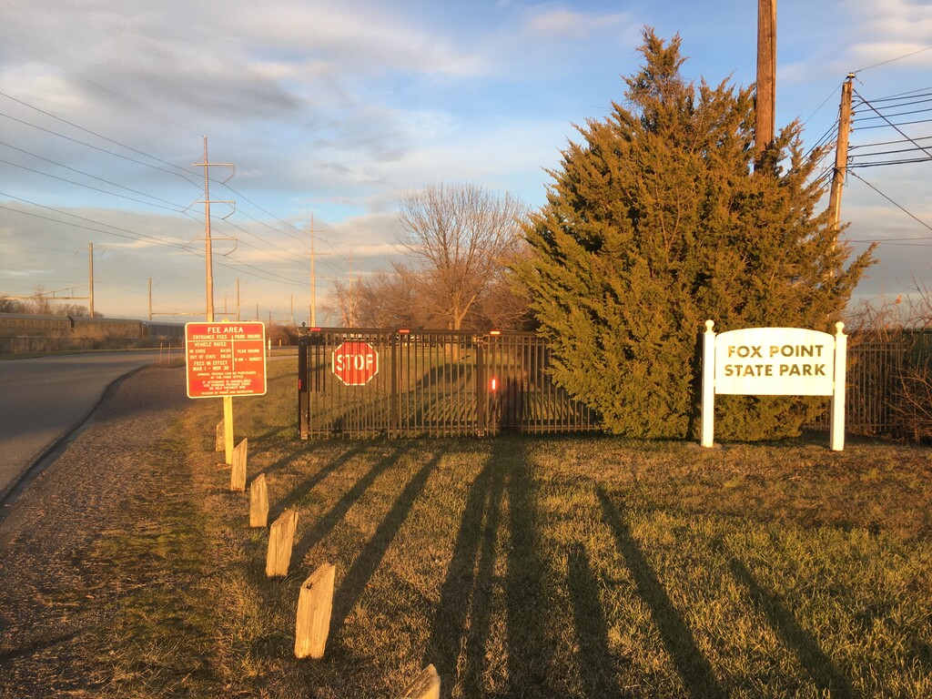
Description
GPS Track
FKTs
Male
Female
| Steve Reilly | 56m 8s | ||||
| Stephen Eland | 1h 4m 59s | ||||
| Matthew Matta | 1h 15m 8s |
| Jocelyn Wong Neill | 1h 2m 15s | ||||
| Jocelyn Wong Neill | 1h 10m 28s |
Images

Comments
Thanks for making this an official route! I ran it this morning to set the women's unsupported FKT since only men have done it. Official submission incoming.
Congrats :-)