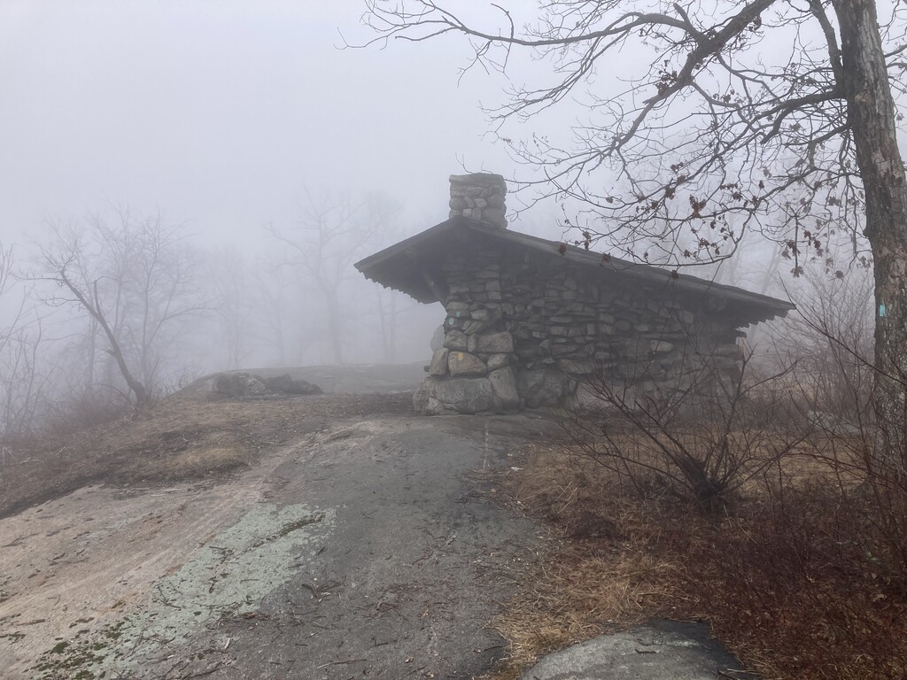

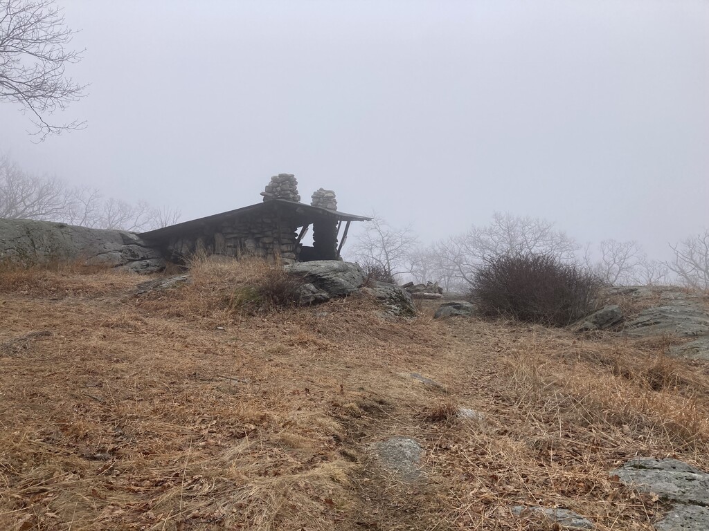
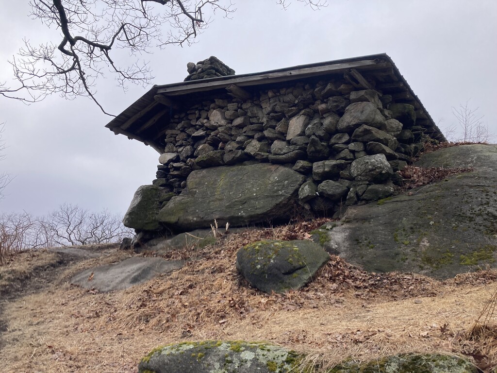
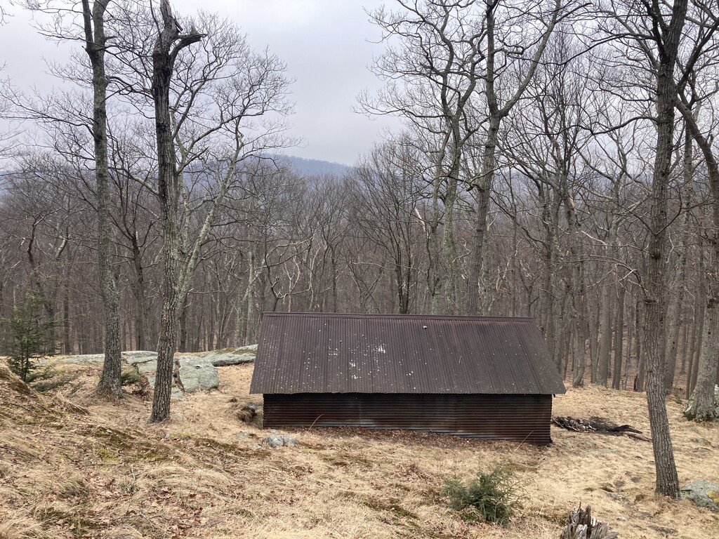
I initially wanted to do this self-supported (with a car) but I thought it would be too confusing and not that much faster with the various winter road closures. I started at the Silvermine TH and went clockwise, choosing to pop down to the road after the second shelter to skip some of the technical trail sections. A small section of the Appalachian Trail is still rerouted from floods a couple years ago so that added some time before West Mountain Shelter. There are 100s of miles of trail and road in this park and I spent a lot of time just trying to navigate and make sure I was on the right path. With more practice this wouldn't be an issue. There is also likely a more efficient route to do this unsupported, though I was pretty happy with my route. A little ice still on some north facing slopes but not bad. I probably saw more than 100 people out on trail despite the mist. I carried all my food and filtered water from streams.