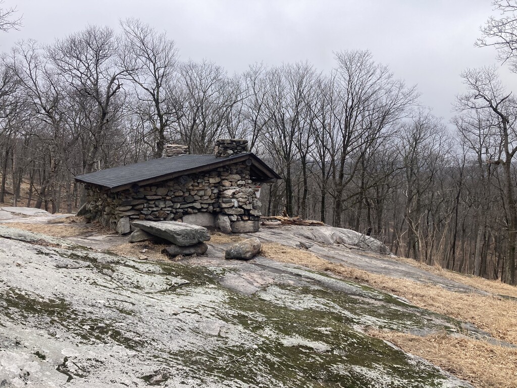
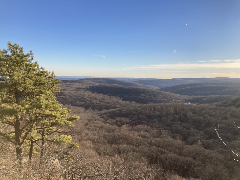
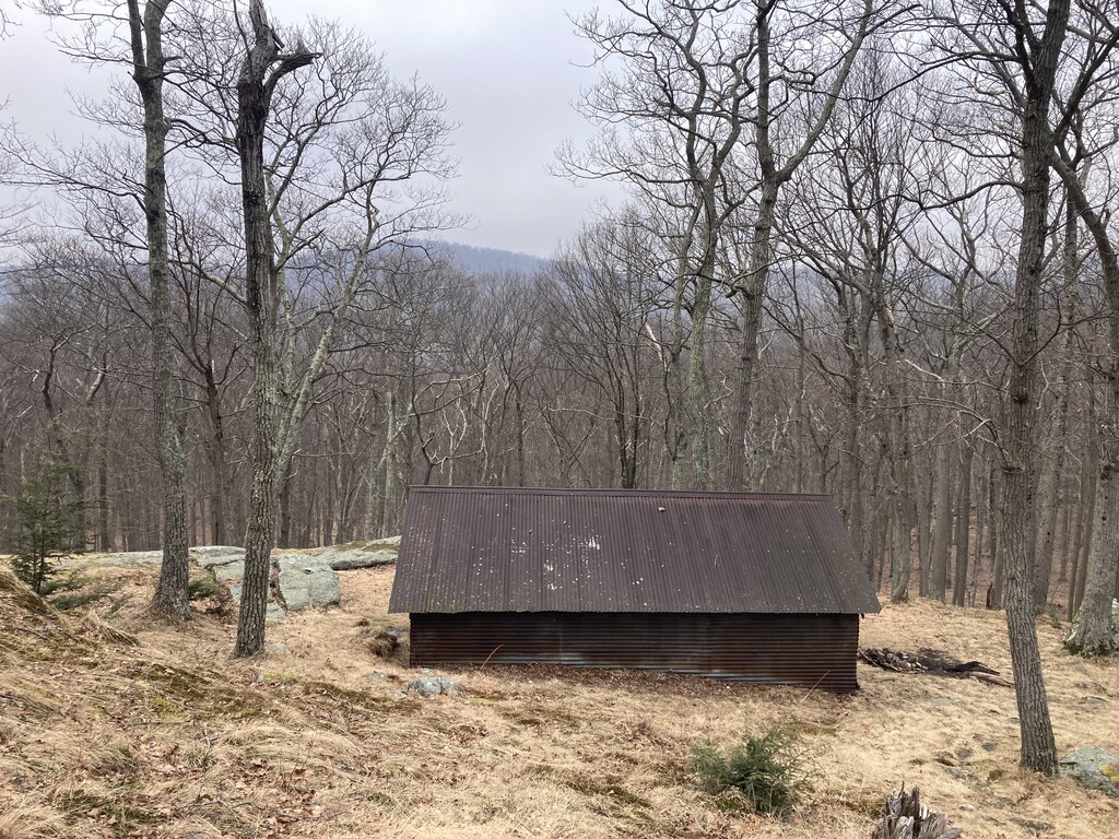
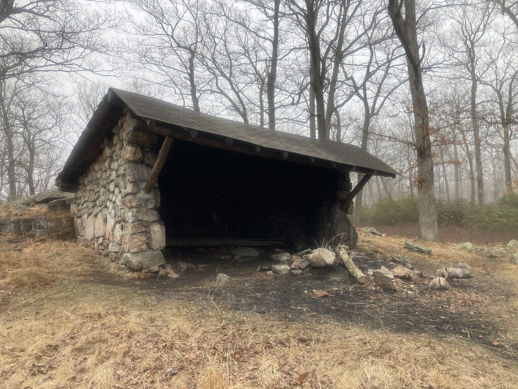
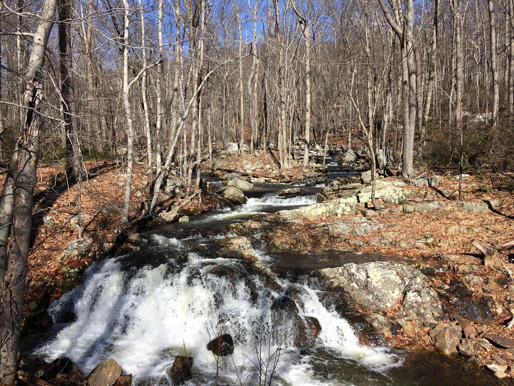
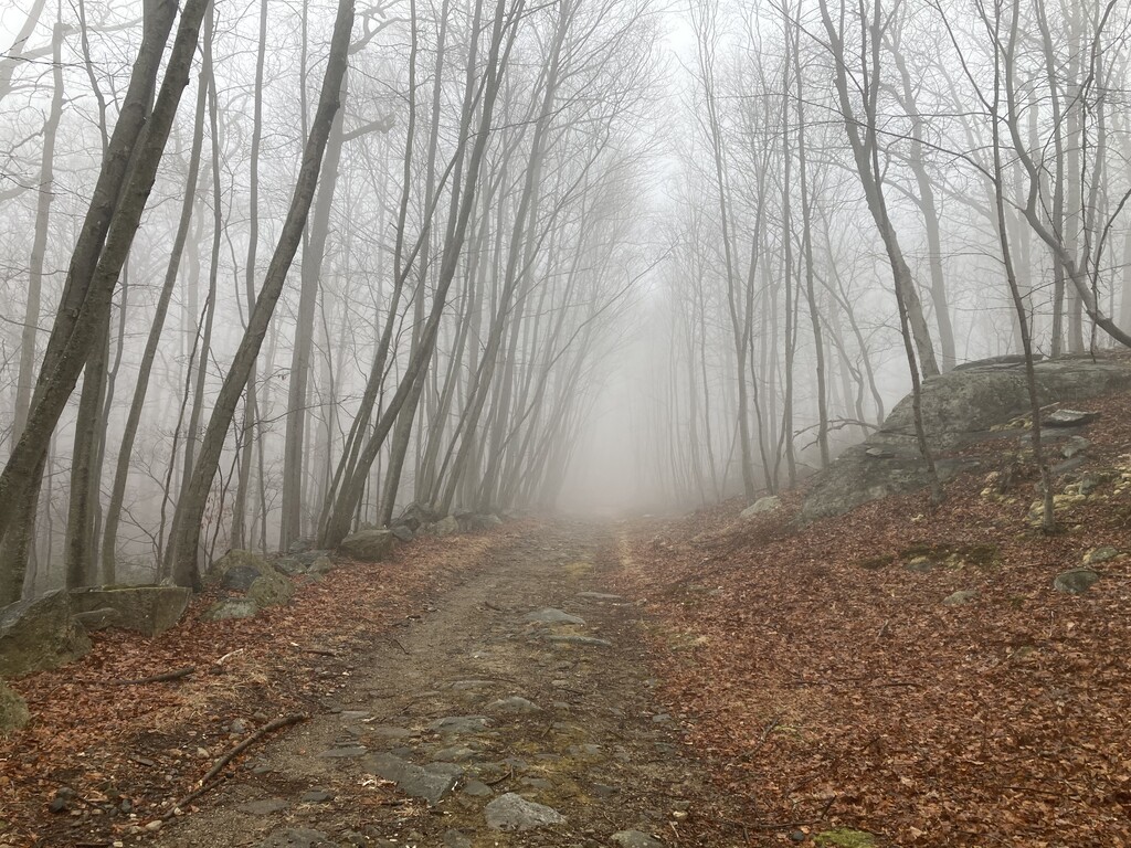
Harriman State Park is the second largest State Park in New York. It is home to 31 lakes and more than 200 miles of trail, including 18 miles of the Appalachian Trail. You can see the Hudson Valley and New York City from many lookouts in the park. This route is based on the Harriman Shelter Challenge organized through a Facebook group. Primitive camping in the park is only allowed at 10 shelters (three-sided mostly stone structures). The group gives out a patch to anyone who visits all of the shelters. Many people complete this challenge over the course of a few weeks or months. This route includes visiting all of the shelters, with the clock starting/stopping at a legal trailhead (not just a road intersection). The 10 shelters are:
- Bald Rocks
- Big Hill
- Brien Memorial
- Cohasset
- Dutch Doctor
- Fingerboard
- Stockbridge
- Stone Memorial
- Tom Jones
- West Mountain
You can use a car to drive between trailheads, (Harriman park trailheads can be found here). Unsupported would be all on foot. It may be quicker for some shelters to start outside of park borders. Many park roads close to vehicles in winter. Some trails in the NE corner of the park are closed (as of March 2025) due to flood damage. There are many streams and lakes to filter water throughout the park. The most efficient route involving driving is likely less than 35 miles, though the huge network of trails and roads make finding the most optimum route difficult.