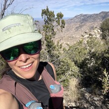
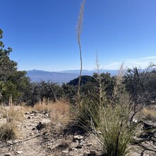
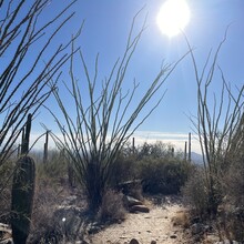
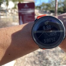
I was in town for the National Trails Workshop being held at Westward Look and felt inspired to look up nearby FKT routes. This one was relatively short, steep, and technical -- which I honestly love. After a morning meeting, I started in the parking lot at the Finger Rock trailhead near a sign and drinking fountain at 11:17 AM. Temps were in the 70s already, and, wow, was I in for some heat. There wasn't much wind, so the sun just baked me! But with salt tabs (SaltStick) and a "decent" amount of water (1.25L), plus liquid energy gels (GU, Spring, SiS), I somehow managed to keep myself from overheating. The trail is instantaneously rocky and technical and that aspect of it never ends. After following somewhat flat trail for about a mile, you begin the climb up the canyon, passing saguaros, ocotillo, and impressive crags. Sometimes you're hiking up a rock slab and other times you're grooving along runnable single-track. The higher I climbed, the more the wind would blow, which was so needed to cool me down. And what helped all the more were the sections of trail still in the shade of the cliffs. That cold air was such a savior. There were moments in the sun that I began to wonder if I should've been out there, being that I wasn't particularly heat acclimated and I live in Colorado...So I will stress that the heat can be no joke in this canyon, and if I could do my effort over again in the cool morning hours, I absolutely would. But anyway, I summited around the 1h 54m mark, which was much slower that I wanted or felt that I was capable of (thanks to the heat), but I knew that achieving my sub 3h 9m goal (Wesley Schnapp's Strava segment time) was nonetheless possible. The descent was a mix of letting my legs fly and also being very careful not to eat sh*t. Soft landings don't really exist here in the Sonoran desert! I read a few activity reports about the trail and some people warned of the trail being overgrown, especially near the summit, but I did not find this to be the case, but I will also admit that my perceptions of overgrown are likely quite warped. If I'm not bush-whacking, it's fine! What I did notice, however, is that there are orange ribbons marking the trail at times that I'm assuming local trail management put to help guide people and lessen erosion impacts of other use trails, so make sure to look for those. After descending this very steep trail without incident, I made it back to the parking lot in 3h 6m 52s. I definitely soaked my face and head in the drinking fountain water afterwards. I ended up drinking every drop of water I brought on the run and could have certainly benefited from more, but balancing water weight and speed was a tough call to make. I wasn't parched at the end and rationed the water well, but if I had taken any longer, then yikes. Something to consider for a push like this when (at least this time of year) there's no water on route anywhere. In conclusion, go for the attempt when temps are instead in the 40s and 50s and you'll rocket!
Athletes
Route
Route variation
up & down
Multi-sport
No
Gender category
Female
Style
Unsupported
Start date
Finish date
Total time
3h
6m
52s
GPS track(s)
Report


