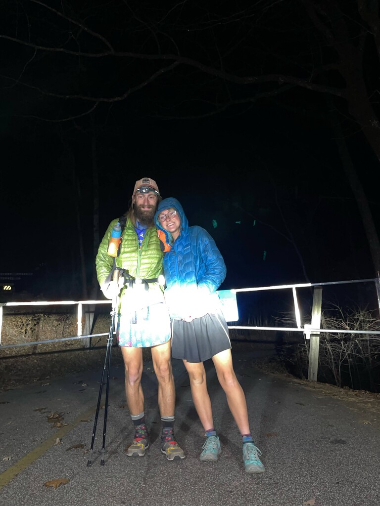


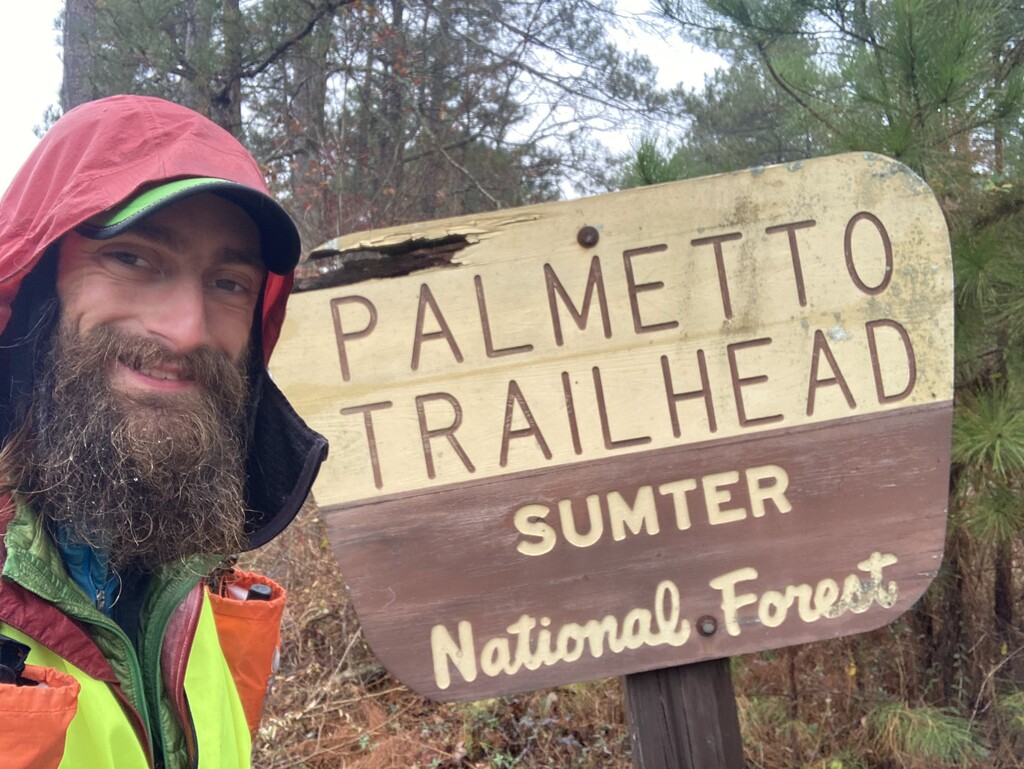


Day 1
47 miles
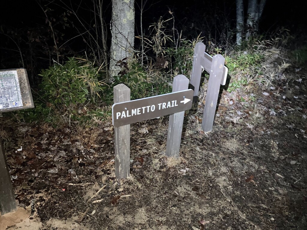
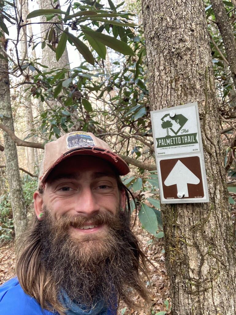
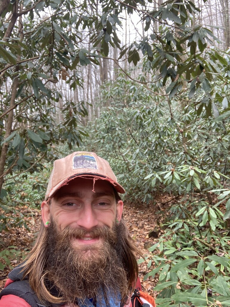
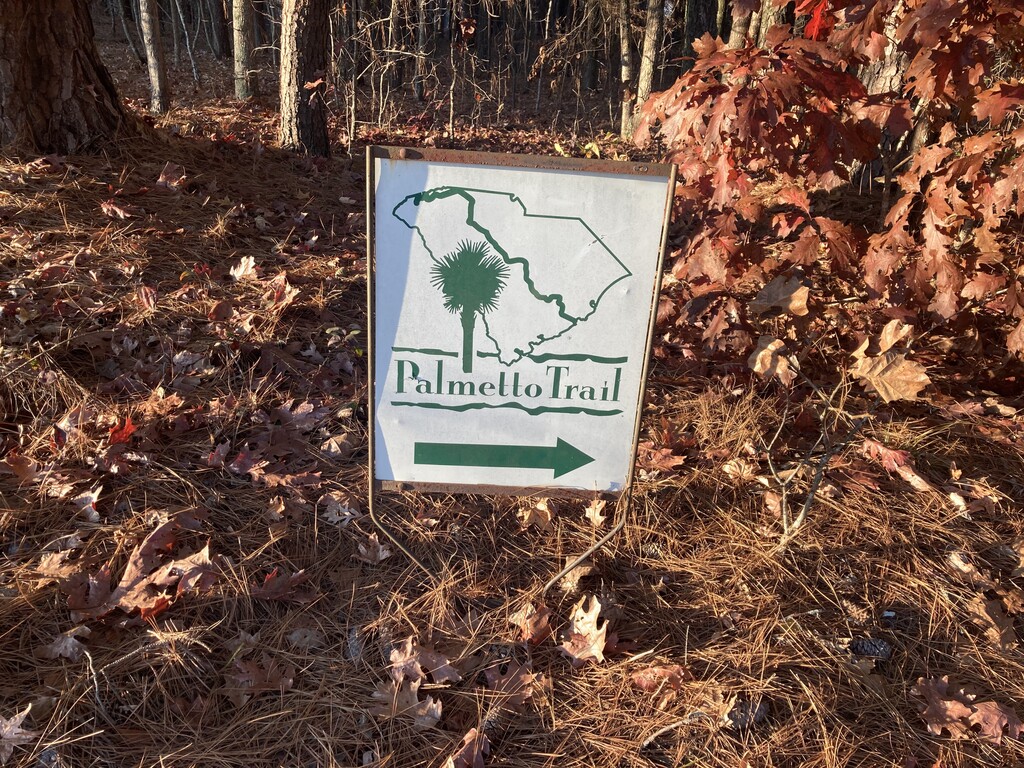
Started at 6:19 AM on December 5. Great temperature out, really nice and in this first section the Palmetto Trail really shows how well marked it is. Feeling pretty good, a little nervousness but glad to be getting started. Didn't sleep much last night but plenty of adrenaline going!
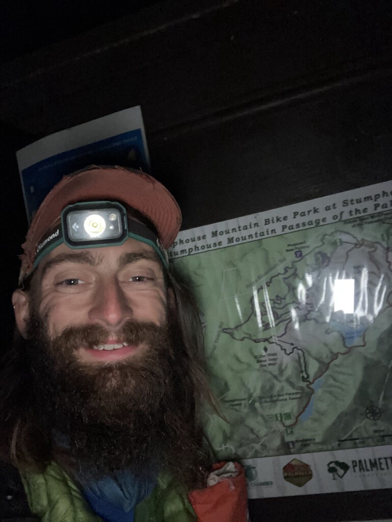
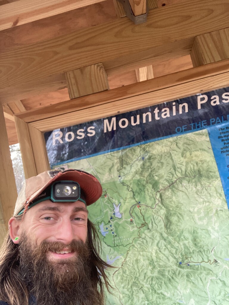
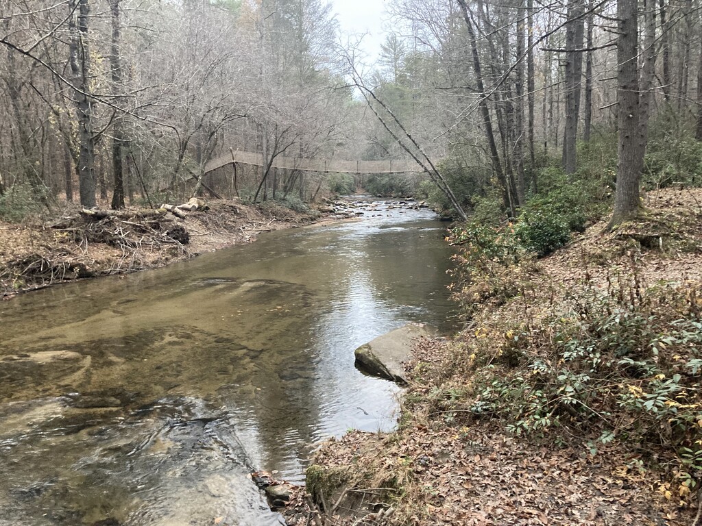
Finished the Stumphouse Passage section in about half an hour. Very cool little section, definitely designed for mountain bikers. But the trail is really nice and goes by a reservoir. Next up is the Ross Mountain Passage.
Cal came out and hiked in a bit with the dogs, but not before I drop my phone on the trail! and it got buried in leaves. Managed to use "find my phone" to figure out where it was, go back, and grab it. Always going to be unexpected challenges and it's about working through them.
After Oconee Passage got our first road walk down to Highway 11. Cal and I leapfrogged down the highway, I would run down a bit with Cal driving forward and then meeting me or running with me for a little bit. Then later in the afternoon we had our first big miscommunication. We miscommunicated about where we're going to meet up next and then my phone ended up dying and Cal did not have service to receive messages from the Garmin. Eventually came back around and we met back up. It was very stressful but we learned a lot and moving forward we have a better communication plan moving forward.
After that was a long road walk section in the dark with a light drizzle. Cal drove next to/behind me to help make me a little more visible to cars. The road is definitely going to be the toughest sections on my feet and legs. Foggy as night progressed making it hard to see even with headlamp.
Hopefully will reach the top of Sassafras Mountain by midnight or so, eat some dinner, and get to bed. As this continues the sleep deprivation is definitely going to be a new and interesting challenge. It will be difficult to get more than five maybe six hours of sleep each night and that's if everything goes smoothly!
Day 2
53 miles
Started at 530am from the top of Sassafras Mountain. Foggy, misty and cold. Rollers up and down made for slow going. The recent rain and mist in the air has made the trail slippery, lots of wet rocks and leaves.
After about 15 miles of lazy slippery rollers made it to the parking area where I met Cal. Had some food and refilled water before pushing on to Jones Gap State Park. After this section of trail back on the road for about 10 miles and then the ending the day with a little bit more trail.
Road section went pretty well. Swapped to a different pair of shoes for the road and having dry shoes on really helps. Definitely going to be able to make up some time using the road sections. Stomach is doing pretty well so far. Feet were wet all morning and this caused some discomfort but with dry shoes and socks makes a huge difference.
Long cold night section trying to wrap up by 2 AM. Right ankle started feeling pretty sore. Cal grabbed some ace wraps and hopefully some compression will help. Might try slightly shorter breaks and quicker turnaround during the day tomorrow. Getting only two or three hours of sleep does not feel sustainable.
Day 3
42 miles
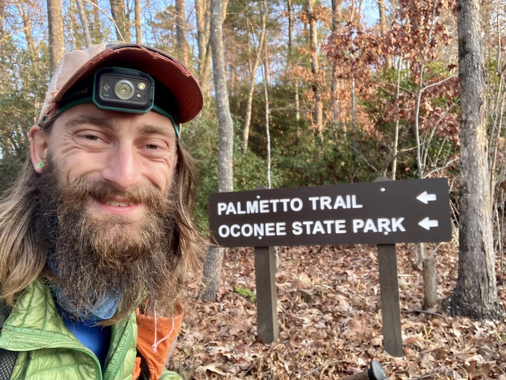
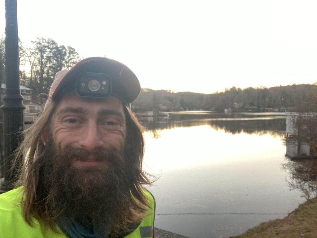
Woke up around 6:15 to leave by 6:30. This entire day was on the road. Which means I should be able to go a little quicker but the road is always tough on the feet. Started off by walking around Lake Lanier and then down through small towns.
The small towns really do have a cute character and make great trail towns. They have grocery stores, gas stations, a CVS etc. Really the only thing missing is good camping options on trail and near trail.
Surprisingly not feeling as tired today as I thought I would be. Really the thing that's getting to me are my sore ankles and the tops of my feet are sore. Cal got some ankle wraps and supports to help my ankles. Tonight we are staying at a hotel in Spartanburg and I'll be able to ice my feet and I think that will really help.
The highway going into Spartanburg was challenging. I knew this going in to it but there is no real sidewalk so you're up on the grass next to the highway. And there are a few overpasses that are incredibly narrow. Really the only way to cross is to time it between the cars and to make sure that you are reflective and have lights on you so drivers can see you and slow down.
The trail snakes through Spartanburg to highlight some of the landmarks in town such as the medical center and college campuses. Makes it a little difficult navigating because you are not taking the most direct route but definitely more scenic. Ended the night at the start of Croft State Park and spent the night in a hotel.
Day 4
37.5 miles
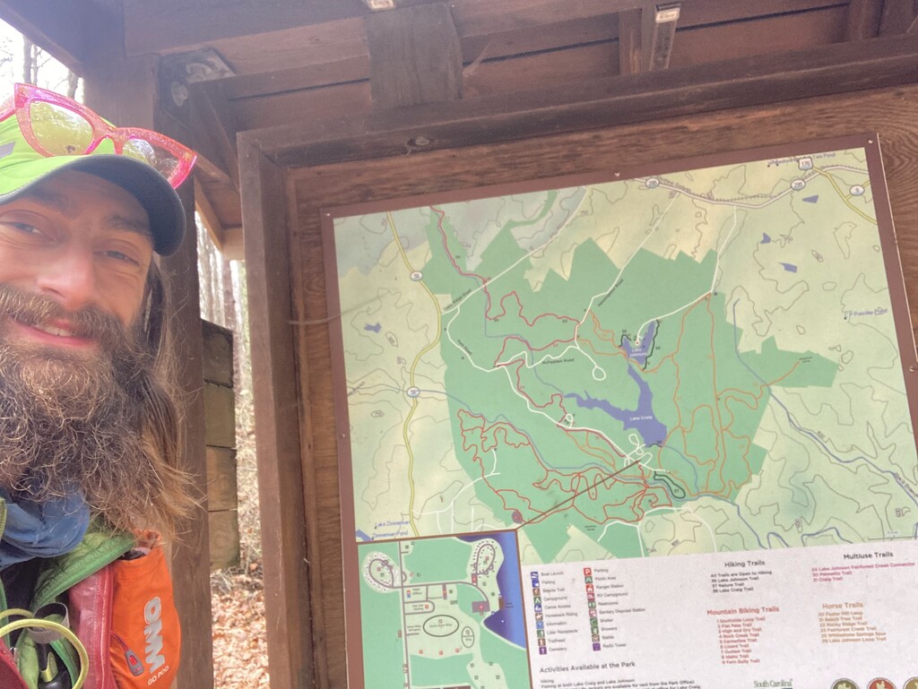
Got started a little late but wanted to get more rest to see if that helps my ankles heal a little. Then headed to Croft State Park. Another cold rainy morning. My shins and ankles don't feel as bad as they did last night. Made pretty good time through the state park until I got to the very end. The bridge at the south end of the park had been washed out. I walked up and down the river looking for a place that was shallow and slow enough to cross but couldn't find anything. So I got in contact with Cal and they drove up into the park, picked me up, and then we drove to the access point for the trail south of the bridge. Then I hiked back up to where the washed out bridge was and then turned around and went back to the car, hitting the shore on both sides of the river. This was the best I could to do in order to make a continuous path.
After that section is Glen Springs Passage. A section of trail that goes very close to private property. Several dogs out on the trail and out on the road. The wraps on my ankles and the compression definitely helped but I am starting to get anxious about my situation. If this continues to get worse and how it could end this thru-hike is building.
The other difficult factor is the amount of time in each day and how much sleep I am able to get. At this point I am unable to run, not even on the road sections, and it's taking me 20+ hours leaving little time to eat and sleep. May need to adjust so that can get a little bit more sleep.
Called the day early after a long road walk. Going to try to get some rest to recover. We camped at Sedalia Campground.
Day 5
32 miles
Got up and went back to the road to finish off the road walk leading into Enoree Passage. Enoree is a long passage over 30 miles long with some nice boardwalks and bridges.
My ankles swelling went down overnight but still very stiff and sore. Will need to keep exploring options to maintain compression and to keep going.
Met Cal mid day for food and elevated my legs for a little bit. The passage dragged on and our goal was to finish as much as we could but still be done by 11 PM to make sure to get a full nights sleep.
I wasn't quite able to finish the entire section but I met Cal at a road crossing and we drove to a hotel in Newberry to spend the night and get a full eight hours of sleep. I also iced my ankles and knees, elevated my legs, and slept with some compression on my calves and ankles. If I can just get to the half way point I think that will be a big mental boost.
Day 6
41 miles
Woke up after getting close to eight hours of sleep and the swelling had almost completely gone down on both legs and ankles. Still stiff and tight and tender to the touch but able to keep moving forward. I also wore some ankle braces with supports and that really locked everything in place.
Continued through Newberry, lots of character and Christmas decorations all on display passing through historic downtown Newberry. Ended the day by taking railroad tracks down to the west end of the Peak to Prosperity Passage. Another foggy night I just kept shuffling along until I got to Peak where I met Cal and we went back to the hotel.
Day 7
39 miles
Very stiff in the morning and it took about 30 minutes to get warmed up. Left the Peak to Prosperity Passage and headed south to Columbia on the road. Long day on the road but during the middle of the day didn't feel too bad.
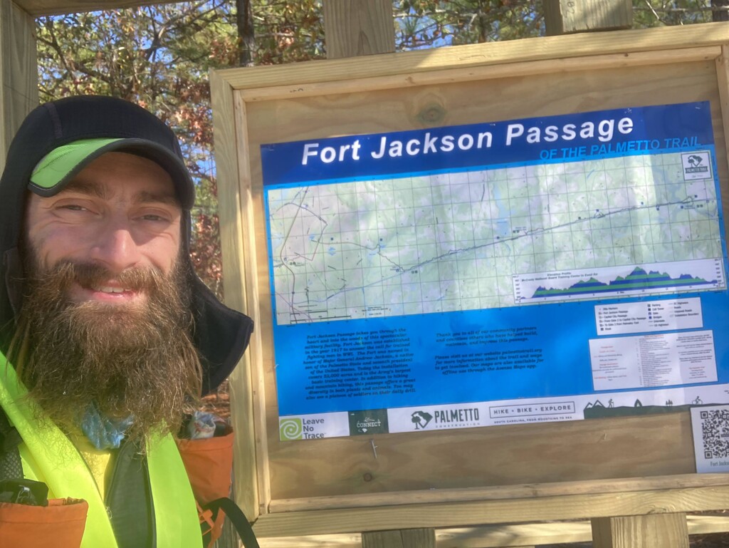
Made it into Columbia after dark and at that point it also started to rain. Went through the Capital City Passage pretty quickly and then onto a connecting route to get over to the back half of the Fort Jackson Passage without needing a permit to go on base. Decided to call the day a little short because it was close to midnight and both Cal and I were cold and wet.
Cal got some warm food for dinner and we headed back to the hotel. I had to deal with some massive blisters and fortunately the swelling in ankles hasn't gotten much worse. Probably the best I've felt at the end of the day in several days.
Day 8
42 miles
Woke up pretty late and didn't get back on the trail until after 9 AM, but the sleep was really nice. Further down I got stopped by a car with a few folks in it they asked if I was doing a Palmetto Trail for FKT and I said yes and they said that they had found me on Instagram and they were following along. They had done the trail recently.
Made it to the trail section of the Fort Jackson passage a little bit before 11 AM. When I was planting this route I couldn't remember if the trail was accessible or if I was going to be stuck on road. Fortunately trail miles 5 to 16 on the passage are accessible and there is a parking lot outside the base. I decided to take the trail and not the road. It's nice flat sandy dirt trail that's easy to follow and I don't have to deal with the cars.
After the Fort Jackson Passage have to walk south on Highway 601. Busy highway but I just kept trucking. Eventually connected to the Wateree Passage after dark. Ended the day just north of Poinsett State Park and camped for the night.
Day 9
35 miles
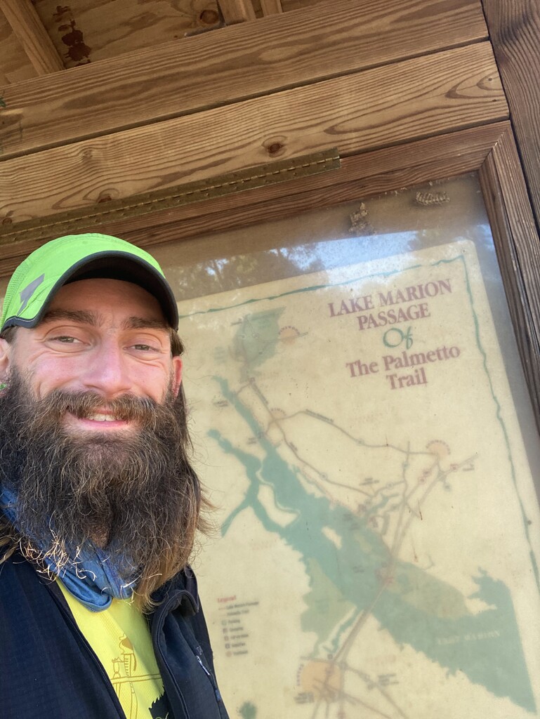
Finished off the remaining parts of the state park and then on to Lake Marion Passage. Continued along the road sticking to the official route and ended at the Carolina King Marina. Long road section and Cal came out again with some more food which was great.
Was expecting to have to go through some swamps but trail pretty much dry except for one point which was nice. Another late night and we drove back to a hotel. Tried to deal with blisters, ice my ankles, and found that the tape we had put on my heels and pulled the skin off. Unable to remove all the tape and tried to cut away as much as we could but ultimately ended up just leaving it. Just another thing to add to the discomfort. At least the end is starting to get into sight.
Day 10
42 miles
Got back on trail in the morning to finish the last few miles of the Lake Marion Passage before having to cross using I-95.
Shooting stars in the sky on the way driving back to the trail.
Cal extremely exhausted and overtired and accidentally slept through their alarm and I was unable to get a hold of them when I needed to cross the bridge. I tried hitching and using ride share apps but no luck. The pedestrian bridge across Lake Marion is definitely inaccessible, there are multiple barriers and a tall fence with barb wire. Cal came out just shortly after our arranged pick up time and got me across the bridge. I do want to acknowledge that support is just as hard and in some ways more difficult than actually having to do the trail. Doing this entire trail with just one person supporting you is an incredible challenge!
Traveling through Santee there ended up being an official reroute that I was not aware of. I tried to stick to the old route but on accessible due to construction. Ended up getting turned around and had to figure out a way to connect to the reroute. Looked at the map and realized I could follow some railroad tracks to the new section I would just have to climb up the side of an overpass to get up to the alternate route. Spent the rest of the day on the road with Cal supporting and we decided to have Cal stay in a hotel tonight while I sleep on trail so that they can get a full nights rest and I can squeeze out a few more miles.
Lots of dogs in this section and was hoping to push on further before it got too late but started feeling really tired around 1130 PM. Decided to try and sleep for a few hours and then get back out and do big long day tomorrow. Tucked myself in and slept on the trail.
Day 11
46 miles
Woke up around 3 AM after sleeping for 2.5 hours. I slept pretty well but legs incredibly tight upon waking up. Did my routine Advil and started walking to get things loosened up. I was still within a more residential area which meant dogs, fortunately they were pretty much all behind fences. I was extremely tired and after a few hours had to take a short nap for about 15 minutes right as the sun was coming up. I woke up and continued on to the start of the Lake Moultrie Passage.
I really enjoyed this passage, it's flat and well graded right next to the water. I met Cal around noon for some food and to give them my pack. We hiked a bit together and then made our way into town of Bonneau and then to the gas station.
We wrapped up the passage and then we met again in a parking lot at the start of the Swampfox Passage. This is the longest single passage and mentally that is challenging. I left around 6 PM with a plan to meet up again around eight for dinner and then again around midnight where Cal will give me my sleeping pad and bag and I'll sleep for about an hour on the trail. Because of lack of parking Cal will leave me to sleep on trail and drive ahead to a parking area to sleep. I'll then meet up with them later to give them my sleeping stuff back that late morning.
At the start of Swampfox I only have about 55 miles remaining which will hopefully take between 20 to 22 hours to complete. This means hopefully being able to finish tomorrow while the sun is up! (Spoiler - this did not happen, definitely finished in the dark which was fitting!)
Day 12
39 miles
Final day! Woke up after sleeping for 2 hours. Slow progress. Took a short nap around 6am. Continued on and met Cal later in the morning to hand over sleeping stuff. Whole day pretty much a blurry, tired mess from not sleeping.
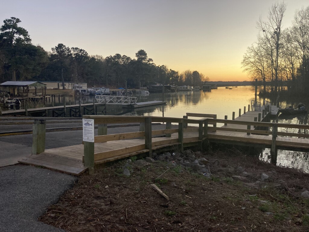
Just kept putting one foot in front of the other. Made it to the last section much later in the day than I had hoped. Had to complete Awendaw Passage in the dark. Cal drove to the end and then hiked in to meet me. Got to the parking area and continued down to the boat launch, finished at the end of the dock. Mountains to Sea!
Ended at 8:55pm on Dec 16. Total elapsed time of 11 days, 15 hours, 36 minutes. Total mileage = 495.5 mi
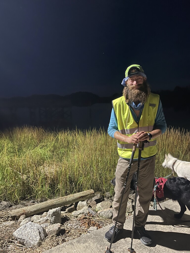
This trail challenged me in ways that I didn't expect. It was a new experience for both Cal and I and we learned so much. No amount of planning is going to make everything go smoothly. Best you can do is work through things as they arise and try to stay as positive as possible! Thank you to everyone that provided emotional support and especially Cal, who without this entire project would not have been possible!