
Impromptu decision to tackle this challenge after feeling really good from running consistently. Wanted to see how the old body would handle this challenge and for all of it's cons, running on sand can be very nice and gentle on my joints!
so, if you read the race report from christof t, he does an amazing job of tackling the "how" of this route and so with a prompt sheet of 40 some odd turns, i set off with paper directions completely not using very helpful technology like loading a route on my watch... i mean whats the fun in that??
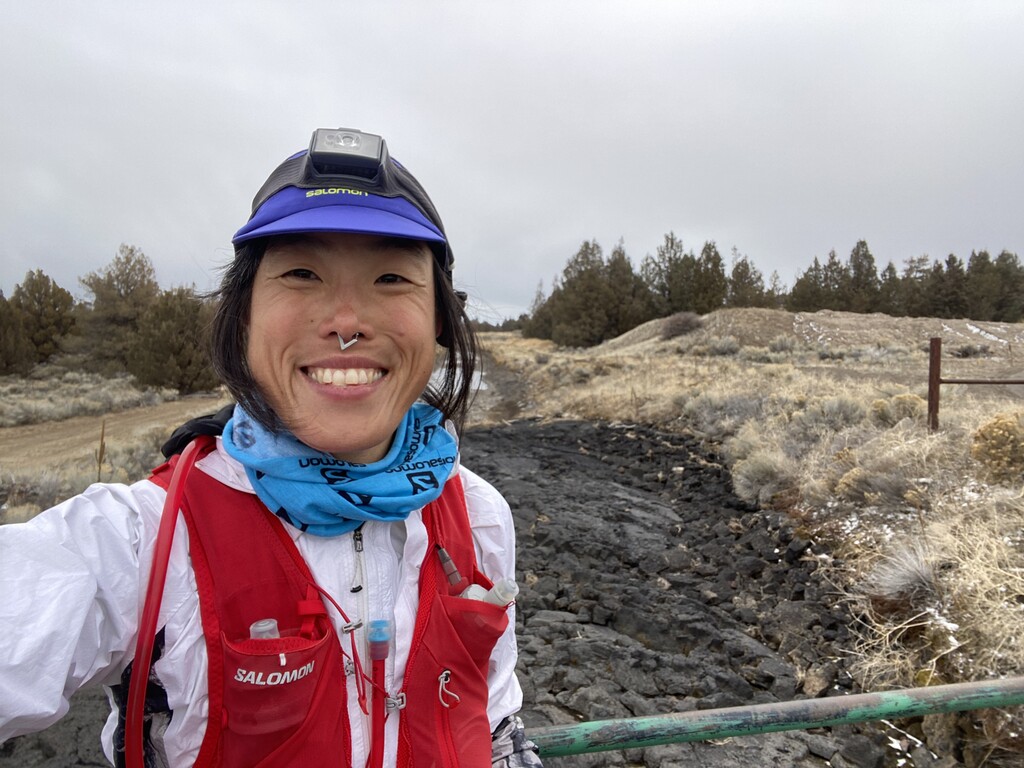
you know... i've had so many people say "oh the badlands? yeah... its kinda boring out there". I guess those people have spent their fair share of time in this cray looking landscape, but not me! i found 384792374 new favorite trees, 39274982374 new favorite rock jumbles that i want to jungle gym all over and 70.99 miles of trail that i WISH i could bike but was so so so happy to experience on two feet. here's one of the BEST parts of this trail system -- the trails and fireroads are so blissfully free of things that want to trip you that you can actually spend the majority of this run looking up, around and everywhere but down. to be sure, there are definitely trip hazards but you can see them in your periphery while you enjoy seeing the shadow/light play on horse ridge, watch the sunrise and sunset create colors on otherwise vividly white nearby mountaintops. another benefit? while all of bends trails are under snow or muddy, these trails were blissfully dry. well... maybe too dry! fair warning - it is ALL SAND and you will definitely relish in the few short sections where the sand has some density to it where you don't slip just a little or slide just a touch with every step.
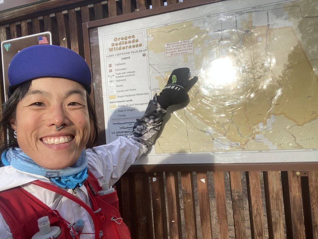
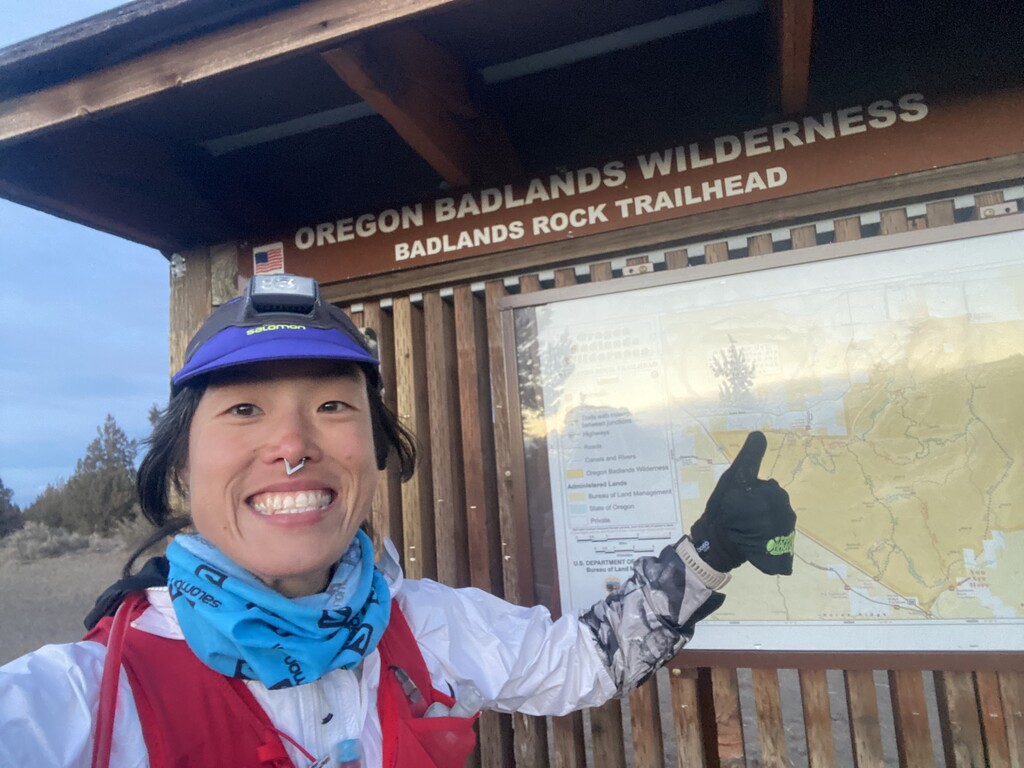
anyways.. about directions! mistakes are easy to fix on the fly and the challenge trail map that ONDA put online is super accurate. the trails are well marked though i will say there are some side trails that can lead to confusion. also, one thing to note is that the 0.8 mile long section of mazama ash trail is confusing - there is a down tree trunk sprawled across the trail and the sign now indicates a shorter straight path that cuts off maybe 0.5 miles. to be safe, i did both the short and the long haha cause its a section you have to repeat anyways.
bring a ton of water. its dry and theres no shade. gaiters would be smart later in the summer but later in the summer would not be a smart time to try this! you would roast! this end-of-winter weather window was perfect. i ran in 25-45 degrees with 2 hours of on and off flurries and light hail, nothing bad or troubling and honestly just magical! in my 12.5 hours out there, i came across 2 whole people!
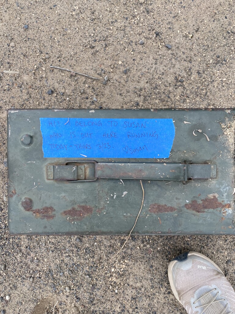
my route - i intended to start/finish at flatiron but a mistake on badlands rock trail caused a pivot in my plan and i finished at badlands rock trail head. my boyfriend dropped me off and stashed my resupply box for me at the dry river trailhead, 35 miles into my day. at the end, he and our dog joined me for the last 0.5 miles which was just fantastic! i am a bit of a camel so i drank one 16 can of yerba mate, maybe 2 liters of water and 0.5 liter of concentrated tailwind though i had about twice that between what i carried and what i stashed. the cool weather kept my stomach super happy and the mellow but consistent pace was easy to feed. no race jitters to throw off my stomach plan :) all the trails are super flat, i had just over 2500' gain and loss in the 70.99 miles.
and best! i dont feel like hot death the day after! whoohoo for the sand keeping the impact soft :)
ps: sorry for the lack of actual gorgeousness photos. i tried my best to have a tech free ish day hence the paper directions