Background
The 3 Remote Rivers Round is a spectacular route that touches the headwaters of 3 remote rivers - the Nambucca, the Kalang and the Bellinger. These rivers are the lifeblood of the towns and villages of the Nambucca and Bellingen Valleys with river based towns such as Bellingen, Urunga, Bowraville and Nambucca Heads built around these rivers.
This route explores the upper catchment of these 3 beautiful rivers before they pass through farmland and eventually into the Pacific Ocean. Several elements make the 3 Remote Rivers Round a memorable adventure:
- Visiting the 3 rivers in their most untouched, unaltered state leading to easy water refill opportunities
- The feelings of remoteness of the route despite being on accessible trails and roads in great condition
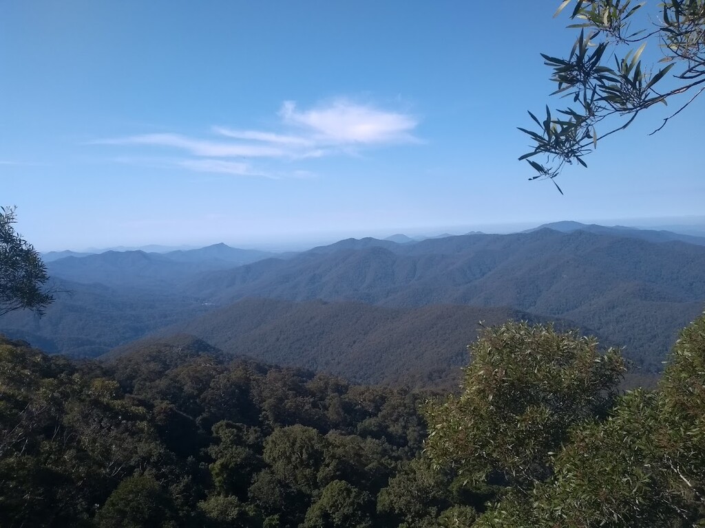
- The expansive vistas along the ridgelines throughout the run
Getting to the start & finish
There are two ways to get to the start and finish at Mt Killiekrankie carpark. There is a parking bay for 3-4 cars here. Both involve 30km of gravel road which are generally in good condition. The drive is very scenic. An AWD is required. You could take:
- Bellbucca Road via Bowraville & Missabotti Road
- Horseshoe Road via Bellingen
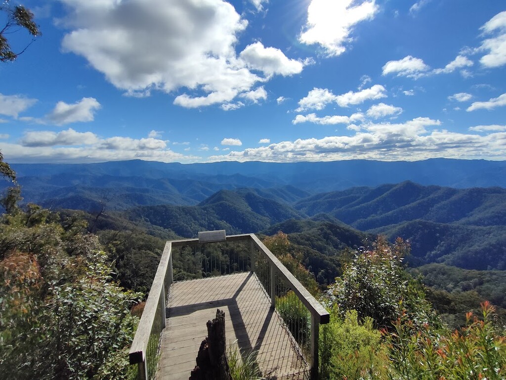
Start: summit of Mt Killiekrankie. From Mt Killiekrankie carpark, a short uphill singletrack will take you to two vantage points with spectacular views of rugged and remote country. The start point is the platform at the highest vantage point looking north (refer to photo). For added enjoyment, start at sunrise.
Finish: at Mt Killiekrankie carpark where there is a large rock
Direction: The route could be attempted in either a clockwise or anti-clockwise direction. However an anti-clockwise direction is recommended. This give you more options to pull out after the Kalang River.
Route Description
Section 1 - Nambucca River.
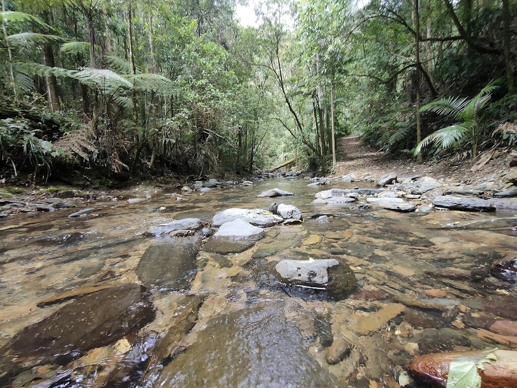
After starting at the summit of Mt Killiekrankie, descend down Gaddess Ridge Road. Towards the bottom, there is a gate with signs. You will now enter the last property on North Arm Road called 'Tillabudgery'. There may be some cattle through this property. The route follows a Crown Road that goes through the property providing public thoroughfare. Do not leave the Crown Road as you will then be on private property. You will get unavoidable wet feet crossing the Nambucca River a few times here. Once past the gate at the other end, it is a couple of kilometres to the turn off to Kellys Road. Similarly, Kellys Road has a gate at it's entrance and is a Crown Road that provides access through private property. Kellys Road is the first one climb of the day and makes the end of the Nambucca Valley section.
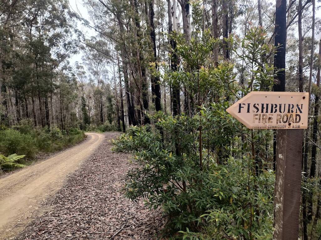
Section 2 - Kalang River
Once back on Bellbucca Road turn left down Sandpiper Road to the Kalang River. You will get wet feet at the bottom and is a good place to refill water. Ascending back up Fishburn Road, this track is a bit more narrow.
Section 3 - Bellinger River
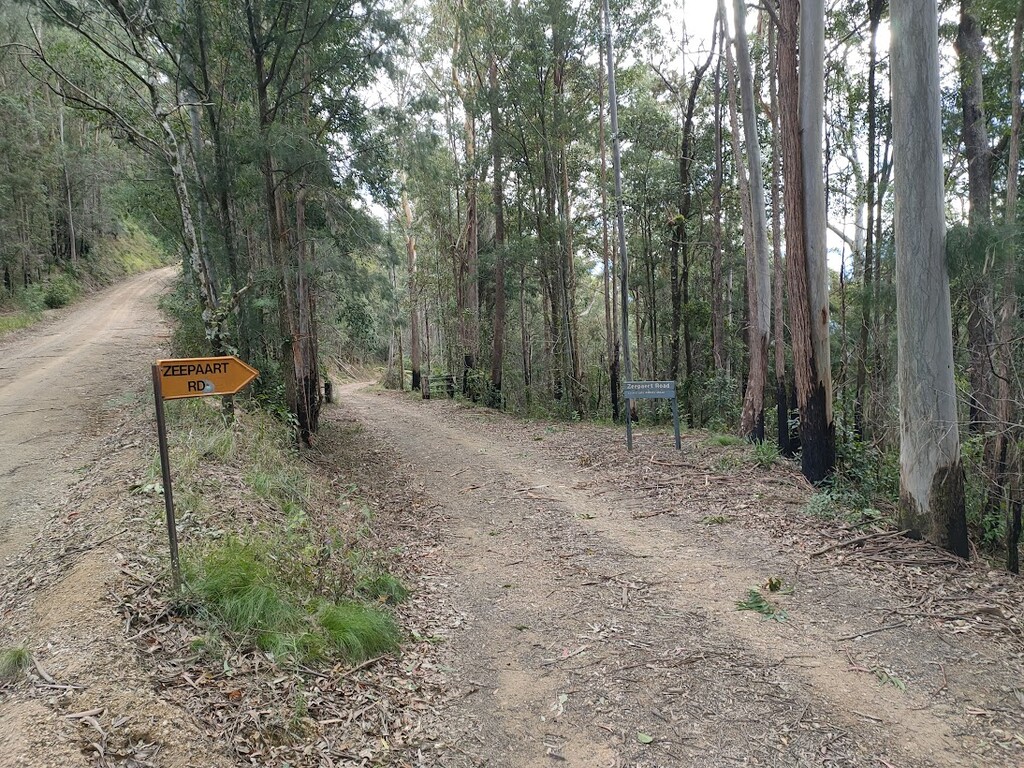
This section involves part of the New England Wilderness Walk and the river flats of old Brinerville. Some sections involve knee high grass and snakes are common in this section. Descend down Sirius Road, past the New England National Park locked gate to the old house. At the old house, continue following the Bellinger River via the New England Wilderness Walk (not Zeepart Link Rd). This track follows an old road that is sporadically slashed by National Parks & Wildlife Service. Climb back up Zeepart Road and along Horseshoe Road back to the rock at Mt Killiekrankie carpark to finish.
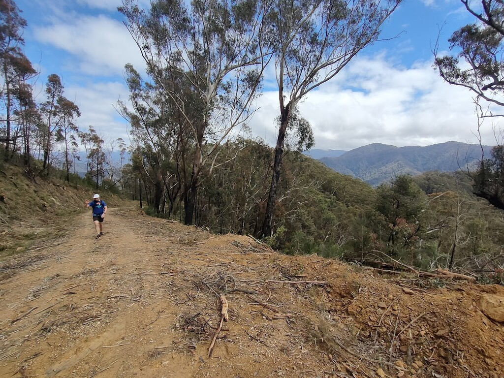
The route is 100% trail or gravel road. It is mostly signposted and all junctions are clear and distinct. Water is best sourced from Kalang River at roughly halfway. There is sporadic phone coverage on Bellbucca Road and Horseshoe Road during the route but generally no reception in the valleys or at the rivers. The route covers a myriad of National Parks and State Forests. It is easy to navigate with a GPX.
This route was put together by several locals who want to see more people enjoying this unknown gem of an area.
Comments
Hi there Cian and Richard My name is Phil Robinson I previously had a FKT for the AAWT and am putting together a route closer to home that hopefully some people will have a crack at . I have put together a track starting at Long Flat and finishing in Bellingen . It takes in the hastings , kunderang ,mackleay , georges, bellingen and Kalang rivers. It will also go over Mt Banda Banda and Point lookout . Myself and my running buddy ( fkt for female on AAWT) intend to hike the trail sometime soon to put a gpx together and check water sources, I have done most of the trail along the BNT From the kunderang to Point lookout and down the new england wilderness trail. I have also run from bellingen to point lookout via Killerkranke . Really want to go over to the Kalang to run back to Bellingen rather than the more populace Thora route or the horseshoe /scotsman ridge run as there is no water after Killerkranke. If you want to have some input or join us , probably april 2023 you would be most welcome.
Hi Phil
That is a very interesting route. Did you end up hiking it? Myself and other locals would be keen to know your plans and get involved. I've done all the trails on this FKT and many you describe.
I just ran from Point Lookout to Bellingen too.
Contact me at keelan.birch1997@gmail.com if you see this message and we can talk tracks