Location
Georgia,
US
Distance
5.4 mi
Vertical Gain
134 ft
Description
GPS Track
Albany_Riverfront_Trail.gpx615.24 KB
Albany Riverfront Trail.gpx72.91 KB
FKTs
Male
| Will Brewster | 33m 43s |
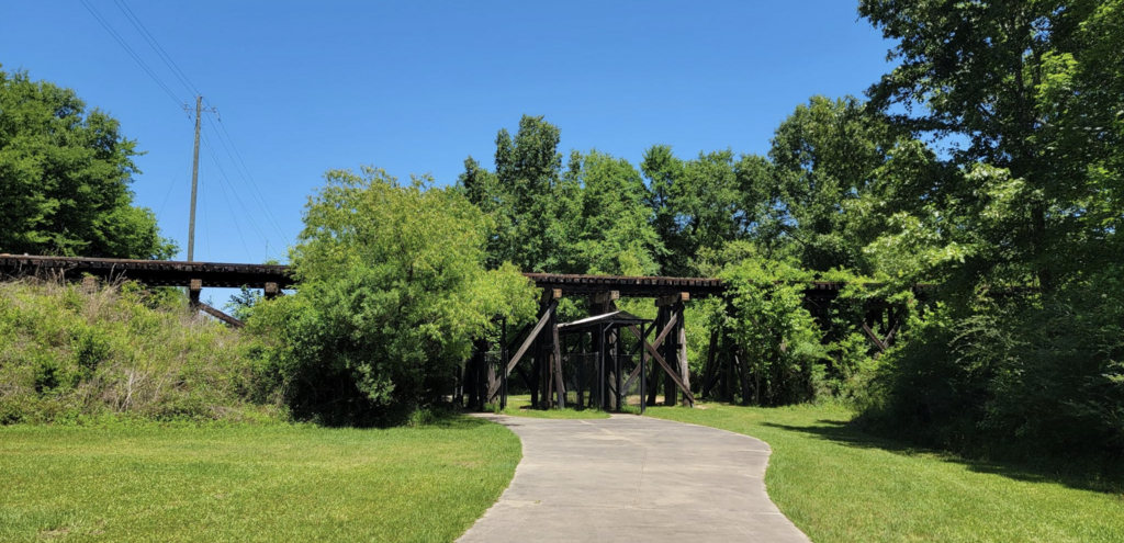
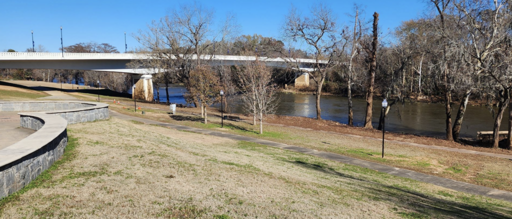
Images