(ENGLISH)
This is Section 9 of the Albsteig track, from Teck Castle to Bad Urach.
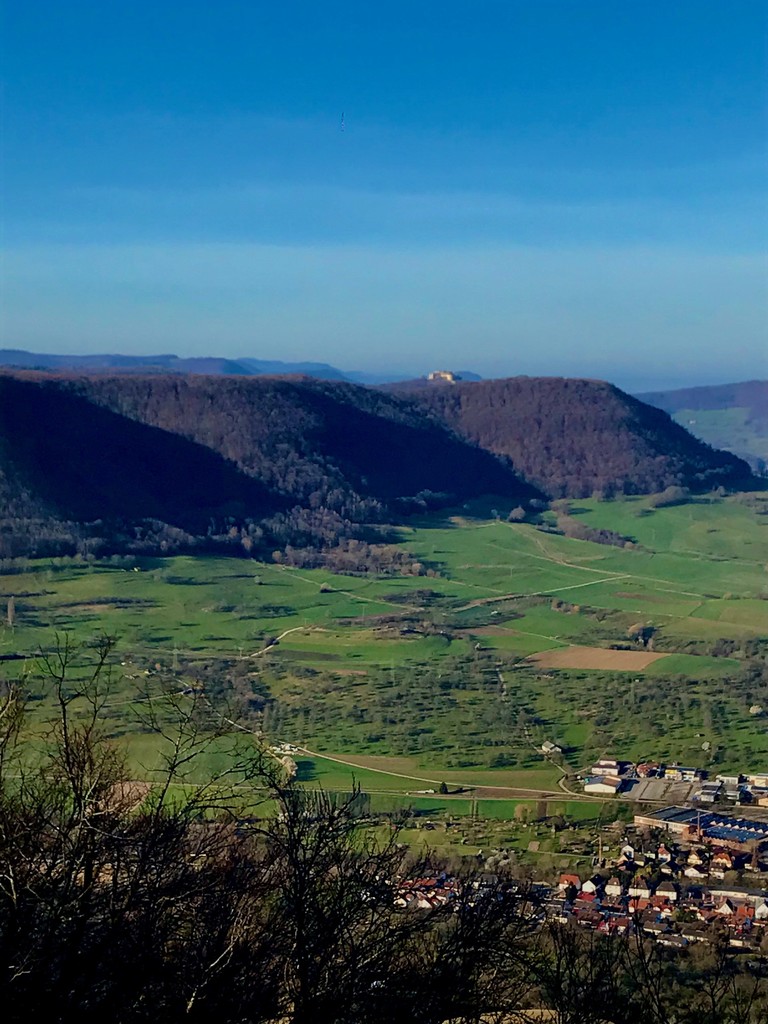
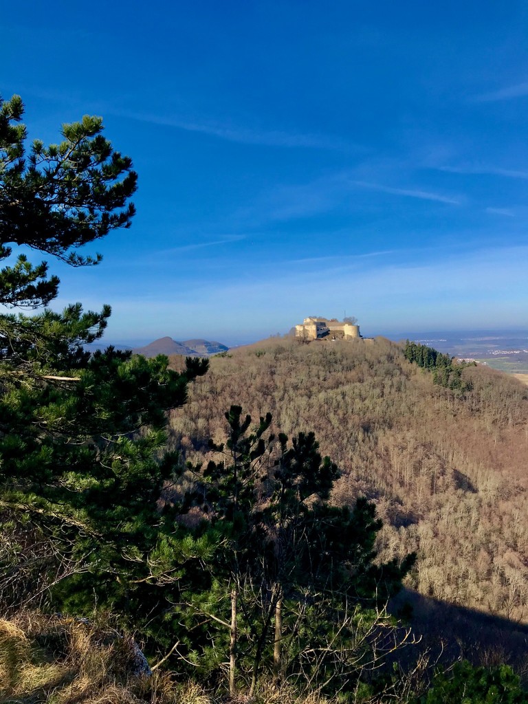
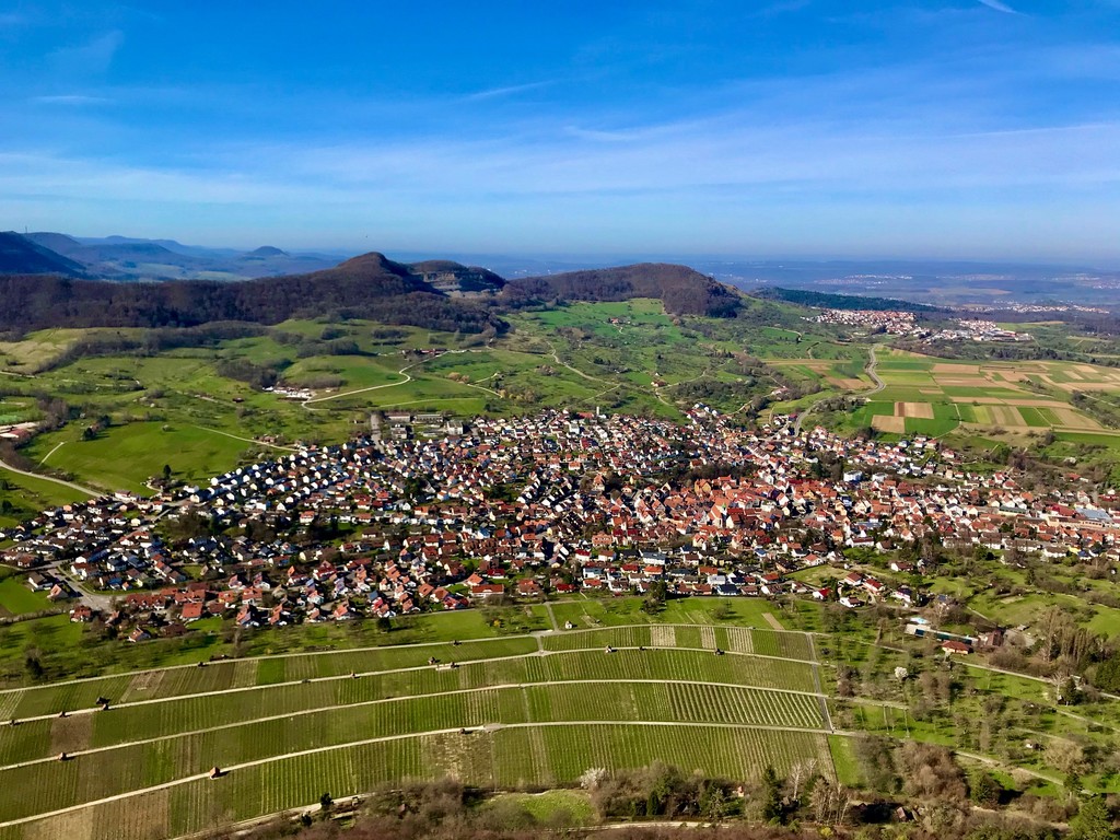
After the first and only climb of this tour to the ridge of the “Bassgeige”, one highlight follows the next. Viewpoints with impressive foresight prepare for the massive castle ruins of Hohenneuffen. The route mostly follows a natural trail along the edge/ridge of the "Swabian Alb" with some quite technical parts. The vantage point "Buckleter Kapf" and the hell holes worth seeing are then on this route before going down to Bad Urach.
Note: This route is one part (section 9) of the certified hiking trail “Albsteig” HW1 with a total length of 357 km and an total ascent of 8343 meters. It is perfectly signposted (red triangle, see pics)
(GERMAN)
Nach dem ersten und einzigen Anstieg dieser Route – es geht hinauf auf die "Bassgeige" – reiht sich ein Highlight an das nächste. Aussichtspunkte mit beeindruckender Weitsicht bereiten auf die wuchtige Burgruine Hohenneuffen. Der Weg verläuft überwiegen als uriger Trail der Albkannte und ist teilweise durchaus von technischer Natur. Der Aussichtspunkt „Buckleter Kapf“ und die sehenswerten Höllenlöcher liegen dann zum Abschluss auf dieser Route, bevor es nach Bad Urach hinuntergeht.
Hinweis: Diese Etappe (#9) ist Teil des zertifizierten Fernwanderwegs „Albsteig“ HW1 mit einer Gesamtlänge von 357 km. Der Weg ist perfekt Ausgeschildert (Rotes Dreieck, siehe Bilder).
Albsteig: https://www.schwaebischealb.de/touren/albsteig-hw1-qualitaetswanderweg-ueber-die-schwaebische-alb-gesamtroute
- Submitted by Thomas Kümmerle
Comments
I'm planning to run this FKT route this week, probably on Saturday 07-09-2022.
Selfsupported, in reverse direction (from Bad Urach to Burg Teck).