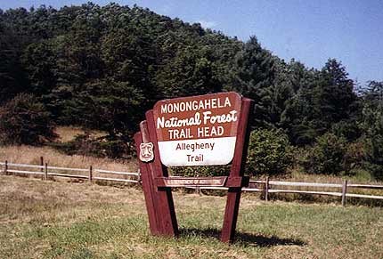
Location
West Virginia,
US
Description
39.1076563, -79.4951078
FKTs
Male
Female
| Bradley Mongold | 4d 13h 33m 0s |
| Brad Morris | 14d 2h 8m 0s |
| Kimberly Selvage | 13d 11h 43m 0s |
Images
This route on the old FKT site
Comments
I will be attempting a fkt ss backpacking in September. I will carry an InReach. My most pressing question is what is acceptable regarding the portion not yet completed. The trail guide suggests a shuttle. Is there a diary of what the current supported record holder did? TIA, onamission
Current record holder was supported thus took shuttle between endpoints of existing trail. There does not appear to be a road walk to join the two (other than including interstate 64, which does not allow pedestrians). Should I seek permission to walk interstate 64? Suggestions?
First, what an amazing trail! Rugged and beautiful through the Allegheny Mountains of West Virginia.
I will be attempting to establish an Unsupported FKT, north to south, on the Allegheny Trail in July 2023. I'll be carrying all supplies necessary, including food provisions, to complete the 311 miles (which include the official road walk section that joins the existing gap in section 4). Water will be obtained from natural sources along the route. I will be tracking with the Garmin InReach with a backup tracking using the Coros Pace 2.
My goal is to complete the journey in under 14 days. In the event I need to transition to a self-supported style along the way, completion would still make a worthy SS FKT, with full respect to Brad Morris who recently set this standard. Well done sir!
Full report to follow, regardless of the outcome. See you on the trail!
-Michelle "MtnMomma" Frase
Hi! I was scrolling on my phone while approaching the southern terminus via the AT and wondered "what is the self supported FKT on this thing?". I have never tried for a speed record, but hiked the Benton MacKaye in 12 days recently and thought this one could probably go the same or faster with a little effort. I will be tracking with my Garmin inreach messenger which is a feature I haven't got around to trying out yet. I will be sleeping at the terminus for a 5/20/25 start. I have tried to do my due diligence as far as research goes, seeing the (possibly questionable?) 7 day 6 hr running record and the above-stated 13 day unsupported record, but was unable to find follow-up from the fellow commenters or other press releases. Please let me know if I've overlooked something (as I said, new here), but curious to see how this goes!
-Fancy Feast
IG the_fanciest_of_feasts