The Amsterdam-Rijnkanaal (Amsterdam-Rhine Canal) is a significant waterway in the Netherlands, connecting the port of Amsterdam with the Rhine River. This canal, which spans approximately 72 kilometers (45 miles), was inaugurated in 1952 and is a major transportation route for bulk carrying vessels. The canal runs southeast from Amsterdam, passing through the city of Utrecht, and eventually joins the Waal River near Tiel.
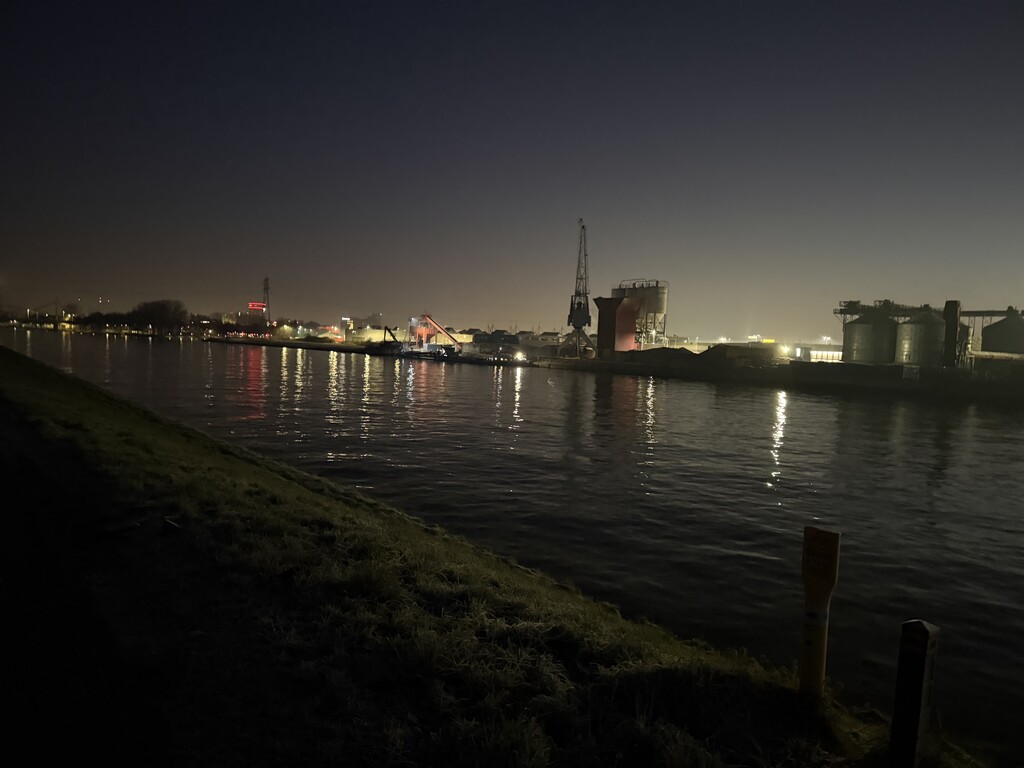
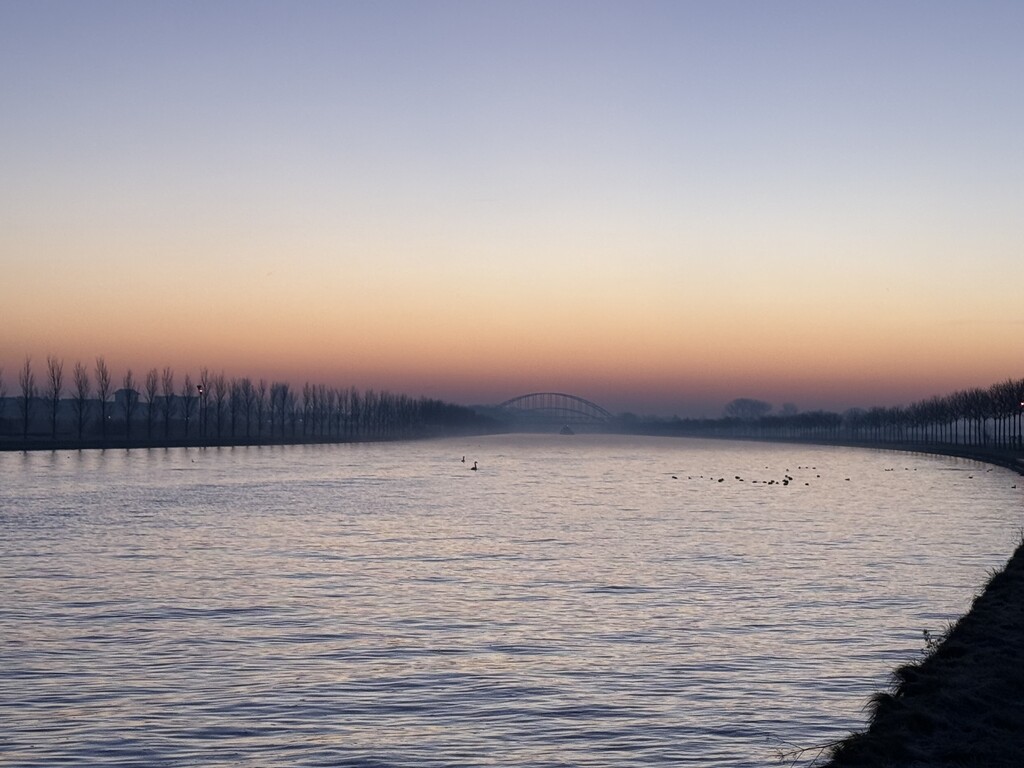
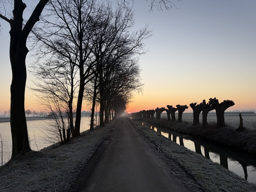
It is certainly not the most scenic route, sometimes running through industrial estates, some residential areas but it's mostly endless green grass deserts on either side. The view improves once you're past Utrecht and Houten, where the tarmac changes to wobbly concrete slabs lined with willow trees. Also note the strong smell of coffee as you pass the bean roasting plant in Utrecht. If you're into bridges, you're in for a treat because there's dozens of them.
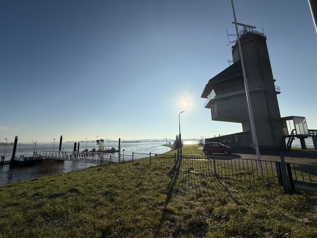
The fkt route starts at the northernmost bank accessible on foot, where the canal intersects with the IJ. Following the canal as closely as possible, you need to switch sides five times by crossing bridges to avoid industrial estates and river branches. At 65k into the route, there is a small ferry across the river Nederrijn. Your arrival at the ferry needs to be planned ahead, as the ferry doesn’t run from midnight until 06:00 on weekdays and 9:00 on Sunday (provides card payment). The finish line is at the radar station where the canal joins the river Waal. You run mostly on tarmac, save a few small sections of gravel footpaths and some cobblestones.
There aren’t any public water taps directly adjacent although you could cross the Daphne Schippersbrug in Utrecht at 38k to access one, or in Nieuwegein at 44k. In Winter most taps are shut off to prevent frost damage.
Getting to the starting point can be done on foot (roughly 4k) from any of the train stations nearby (Diemen, Amsterdam Science Park or Amsterdam Central) or by cab. Public transport on Zeeburgereiland is like the rest of the island, in development. From the finish line it’s a nice 3k walk along the dike, through Tiels historic town center, to the train station.