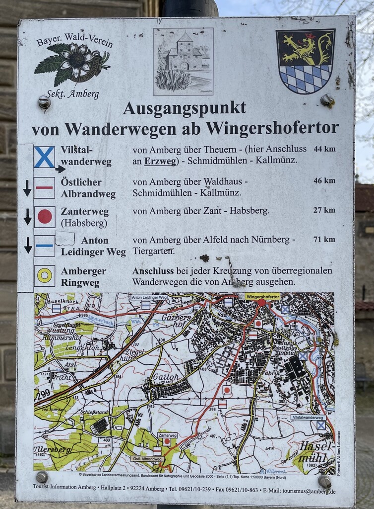
The "Anton-Leidinger-Weg" (also "Anton-Leidinger-Memorial-Trail") is a 70 km long hiking trail in the Nürnberger Land district (Middle Franconia) and the Amberg-Sulzbach district (Upper Palatinate). The trail goes by the Nr. 023 and was established by the Fränkische Albverein and pays tribute to Anton Leidinger, one of the association's important members.
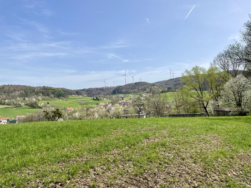
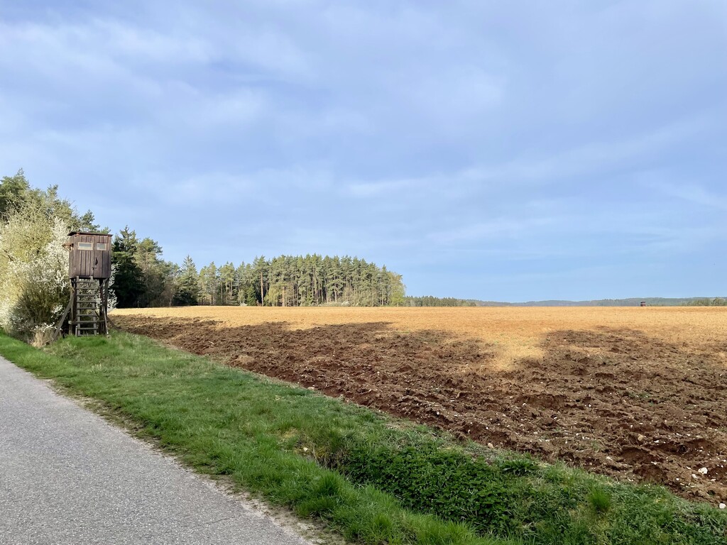
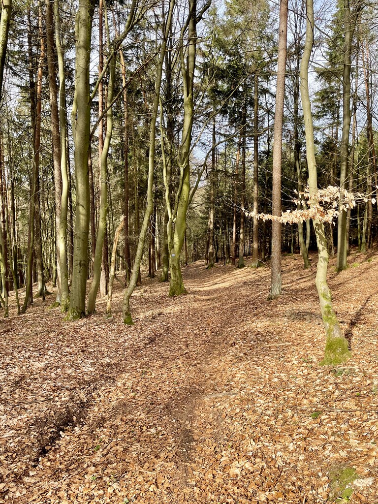
The trail is marked with a blue line on white background and the markings are usually maintained in very good condition. The trail officially starts at the zoo in Nuremberg and ends at Wingershofer Tor in Amberg, while many seem to prefer the other direction. Either way, there are good train connections between Nuremberg and Amberg to support the journey. The trail itself consists of lots of singletrails and integrates Nuremberg's most important elevation (the Moritzberg).
There are some restaurants, gas stations and grocery shops on or near the route. I could not spot any suitable wells with drinking water. Therefore, some research and planning should go into where to refuel (especially check the opening hours of the restaurants).
Hier der Link zum FAV: https:// www.fraenkischer-alloverein.de/ wanderwege/weg-nr-023
Und noch ein guter Laufbericht von 2009 (ziemlich coole Aktion): http:// www.laufkultur.de/homepage/ content_2012/Leidinger12.htm