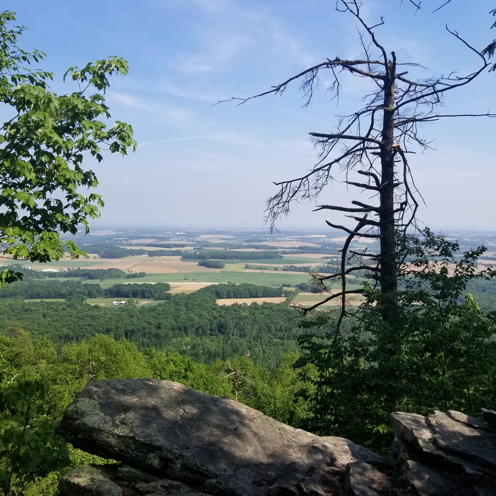
This is the northernmost section of the Appalachian trail in Pennsylvania, with termini at two of the most popular trailheads in the state due to their proximity to mail drops and resupply areas: the southern terminus is the Port Clinton trailhead parking lot and the northern terminus is the gate to the Mt. Minsi trailhead parking lot (located at the Delaware Water Gap).
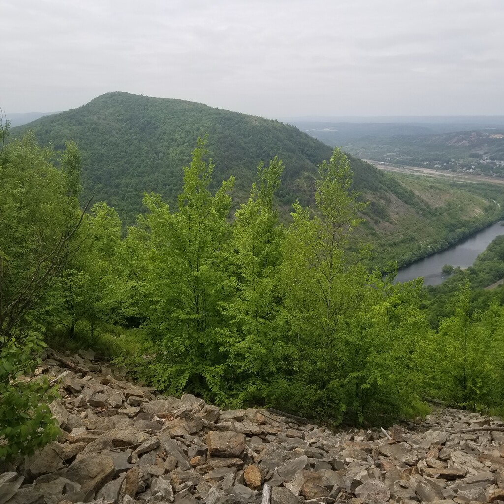
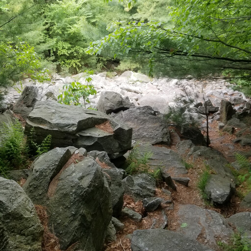
This route arguably deserves the moniker of "Rocksylvania 73", as it most comprehensively covers the notoriously rocky section of the northern PA AT over the course of 73 miles. Two other PA AT segment FKTs exist for such rocky terrain, like Port Clinton to Lehigh Gap and Lehigh Gap to the Delaware Water Gap, but to truly capture the endurance challenge of traversing this region, it's necessary to string these together. The route hits renowned rock formations like the Pinnacle, Pulpit Rocks, Bear Rocks, Bake Oven Knob, the Lehigh Gap, and Wolf Rocks. It also possesses many unnamed, lesser-known rocky areas that can truly grind down a hiker or an ultra-endurance athlete.
The deceptive nature of the Rocksylvania 73 is reflected in its tame elevation profile and abundance of road crossings and resupply points. With less than 10K feet of elevation gain in either direction, this should be an easy course by all common metrics. However, the terrain varies wildly from large formations of scattered jagged rocks, requiring both hands and feet to climb, to flat fields of smaller rocks that appear innocent, but can easily injure the soles of your feet if you try to run through them without proper caution. It's not all tough though; there is a healthy dose of smooth, runnable portions along dirt and gravel roads or picturesque pine needle singletrack. Fortunately, with the exception of the Lehigh Gap northern climb, the few major climbs of the route tend to have fairly smooth terrain.
The final exciting aspect of the Rocksylvania 73 route from Port Clinton to the Delaware Water Gap is the logistical challenge of traveling for 73 miles along this terrain. Even in the summer, for the vast majority of athletes, doing this route in one push will necessitate traveling at night. Some of the rocky terrain described above becomes notably more difficult, discouraging, and perhaps downright dangerous, if traversed in the dark. This will require athletes to strongly consider their direction of travel and start time. The route is particularly amenable to supported or self-supported efforts with resupply drops due to plenty of road crossings in both heavily populated and less populated places. The route does not directly cross through any trail towns. It will require at least a half mile walk or ride to the nearest store at a few of the road crossings. There are very few accessible water sources along the trail, unfortunately. The majority of dependable streams are located along the southern quarter of the route. For fastpackers or hikers, there are a few AT shelters along the route as well as plenty of semi-established campgrounds.
For anyone wishing to genuinely experience the Rocksylvania terrain popularized by AT hikers in only 1 to 3 days, this route is a must. A thru-hiker's account of the course can be found here: https://thetrek.co/appalachian-trail/week-15-delaware-water-gap-to-port-clinton-pa/
Comments
I will be running this route May fifth 2025 southbound and unsupported.