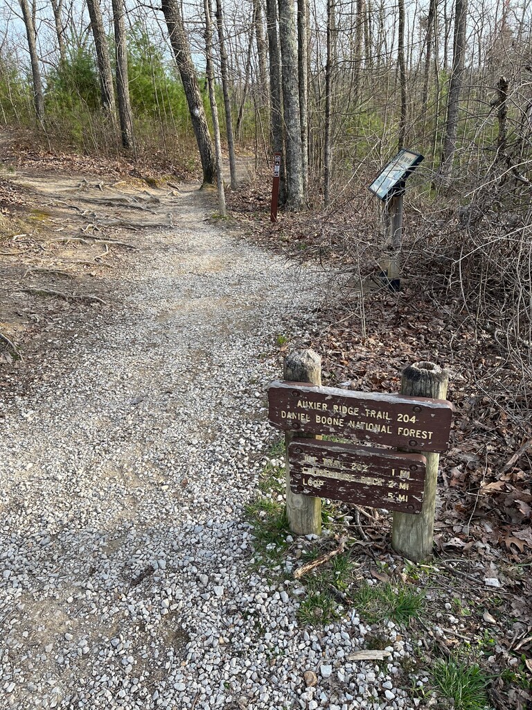
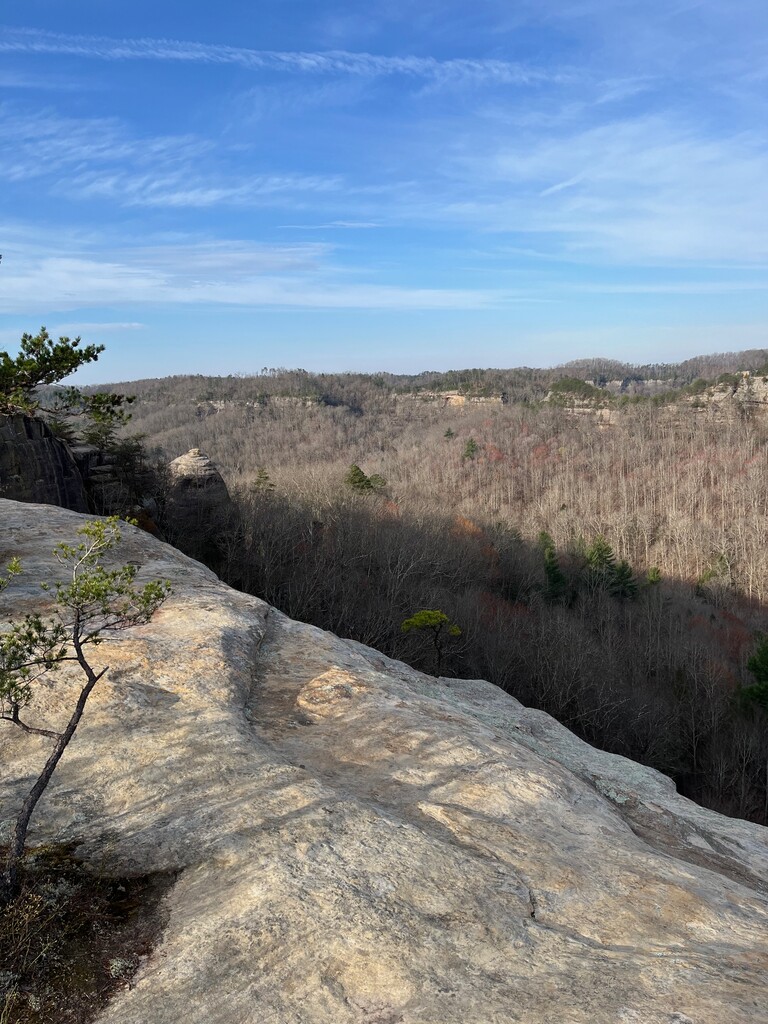
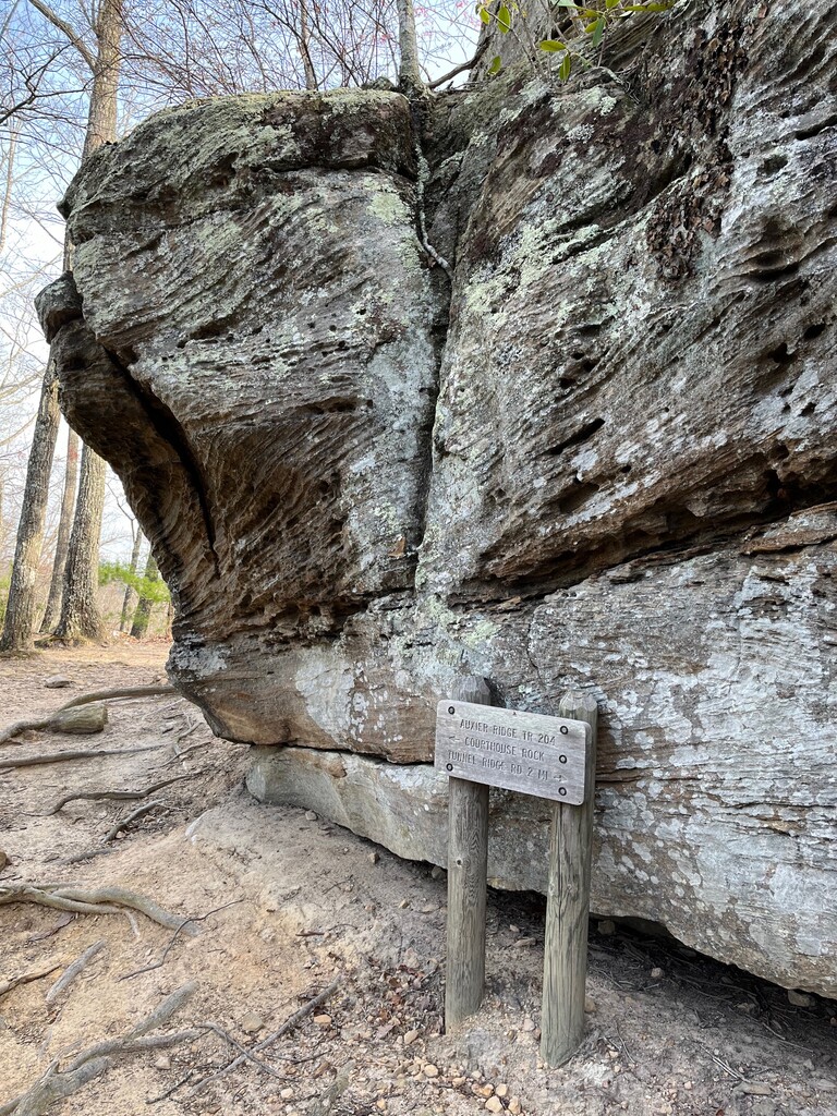
Auxier Ridge Trail #204 follows a high, narrow ridge to its end where you can view popular Red River Gorge geologic formations like Double Arch, Haystack Rock, Courthouse Rock, and Raven Rock. Sheer cliffs extend on both sides of the ridge. This trail is located in the Red River Gorge on Cumberland District of the Daniel Boone National Forest. Auxier Ridge Trail #204 is part of the Auxier Ridge Trail system which includes Courthouse Rock Trail #202, Auxier Branch Trail #203, and Double Arch Trail #201.
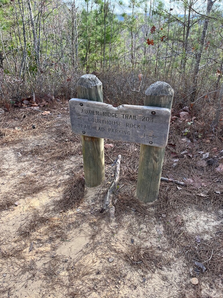
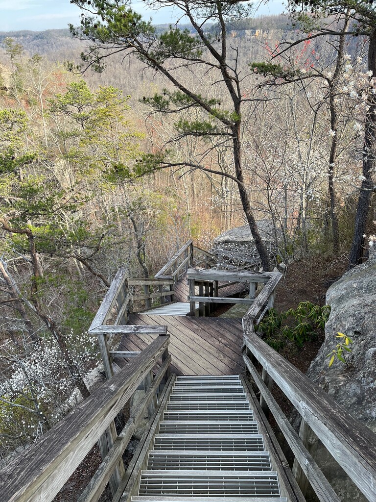
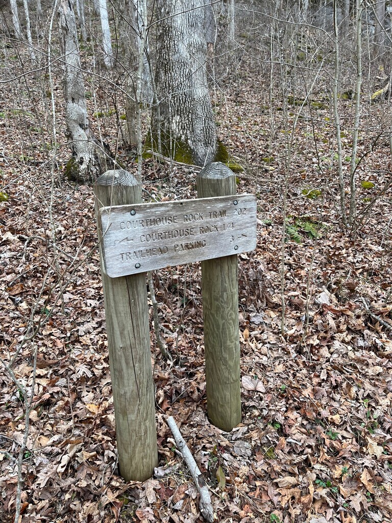
This lollipop trail starts at the end of Tunnel Ridge Road where this is parking and a washroom. Start at the beginning of the Auxier Ridge Trail #204 where you will see a wooden sign. Take this trail up along the ridge and enjoy views on both sides. When you near Courthouse Rock you will take a long set of stairs down where you will hop on the Courthouse Rock Trail #202. Follow this back until you once meet up again with the Auxier Ridge Trail and head back to the parking lot where you started. Most of your climbing will happen during the Courthouse Rock Trail section as you are making your way back up to the ridge. Obviously, you can take the lollipop in the opposite direction as well where you would enjoy more downhills earlier on.
This is a beautiful lollipop trail! Up along the ridge there are some slight technical parts. If you look side to side you will realize you will often have steep cliffs on both sides of you. The Red River Gorge area is amazing in general with lots of other options and trails to do in the area. Enjoy!!!
https://www.fs.usda.gov/recarea/dbnf/recarea/?recid=39476
https://www.redrivergorge.com/red-river-gorge-kentucky/
https://en.wikipedia.org/wiki/Daniel_Boone_National_Forest