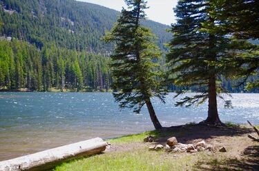
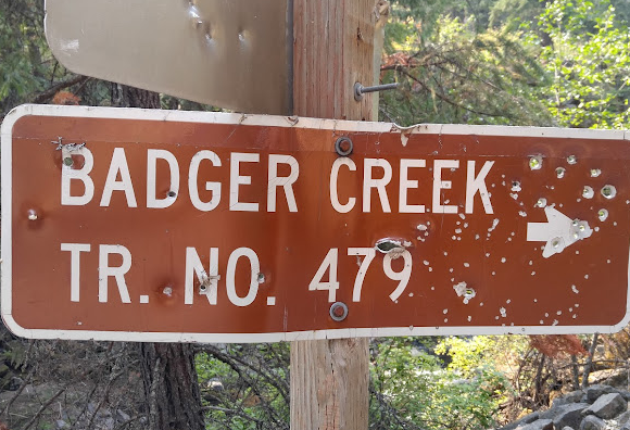
Badger Creek Wilderness is on the SE Flank of Mt. Hood. The Badger Creek Trail #479 is in the heart of the wilderness area. It's a steady climb from 2000 to 5000 feet of elevation that ends on the northern side of Badger Lake.
From FS.USDA.gov: This trail is one of the most popular trails in the Badger Creek Wilderness. It is usually best to hike during the period of June-September. This trail makes an excellent backpack route as there are more than a dozen campsites along the trail; also you come across many different forest types. From oak thickets to sub alpine fir meadows at Badger Lake. Visitors can try to catch small, but feisty rainbow trout in Badger Creek, as it runs along the entire length of the trail. Hikers may also enjoy large natural rock formations along the lower section of this trail.
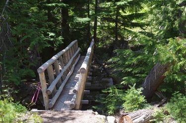
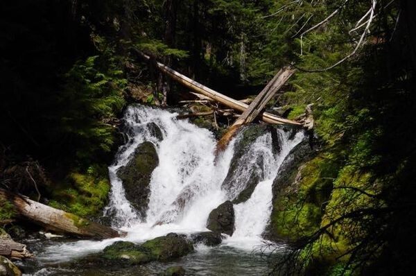
From Oregon Hikers: The hike up the Badger Creek Trail #479 is a popular late spring hike. It's on the east side of the Cascades, so it's drier than in Portland, and it's at fairly low elevation so the snow melts off earlier in the season. The path follows Badger Creek for its entire length and intersects with other trails coming down from the ridges above. There are picturesque falls in the middle section of the route and, as you get closer to Badger Lake, lush spring-fed creeks cross the path. You'll pass andesite scree slopes to the right. Lady’s slipper orchids bloom along the trail in late May. Columbine, arnica, lupine, larkspur, groundsel, and microseris also flower here in late spring, and the oak hillsides come alive with blooming balsamroot.