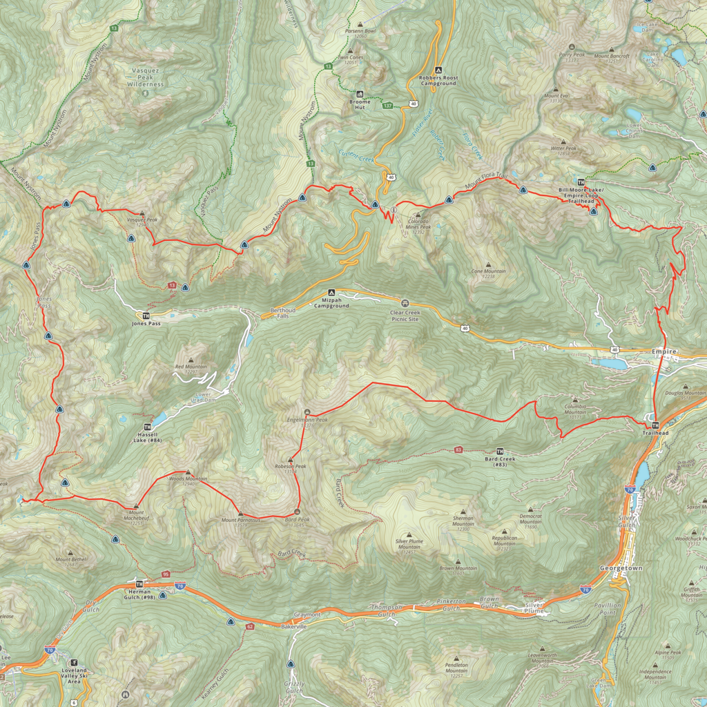
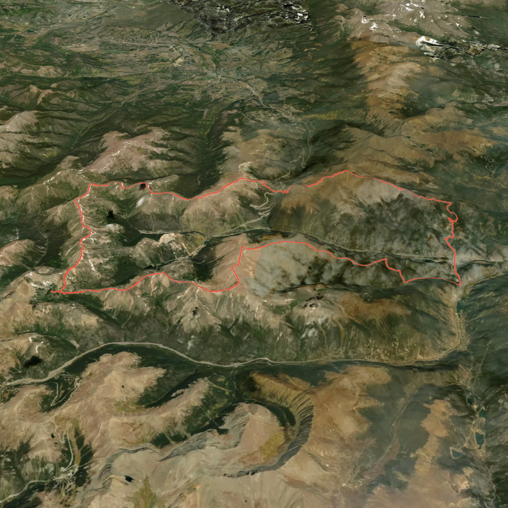
The Berthoud Ridge Traverse is a high-alpine loop in Colorado's Front Range that partly follows the course of the Continental Divide Trail (CDT) but stays high up on the ridgeline and includes all significant summits along the spine of the mountains. Most of the traverse is above the treeline with vast sections of off-trail travel. The route begins and ends at Berthoud Pass where the CDT crosses Highway 40 West making this an accessible adventure with little transportation logistics despite its length.
Over the course of 42 miles of distance and 15,420 feet of elevation gain, the traverse connects five peaks above 13,000 feet and five peaks above 12,000 feet. This includes the summits of Stanley Mountain (12,530’) and Vasquez Peak (12,940’) in the Vasquez Peak Wilderness and the summits of Mount Machebeuf (12,250’), Woods Mountain (12,940’), Mount Parnassus (13,580’), Bard Peak (13,645’), Robeson Peak (13,104’), Engelmann Peak (13,376’), Breckenridge Peak (12,864’), and finally Mount Flora (13,127’).
Starting at Berthoud Pass going counter-clockwise, for the first 14 miles the route stays on the ridge above or on the CDT. Instead of going down the Herman Gulch, the route continues for 14 miles on the ridgeline all the way down until it passes through the town of Empire. From here, at the lowest point on the elevation profile, the route climbs back up and over the last peak for the final 12 miles.
Comments
Looking to take a crack at this in May, since this is a loop could I start/finish in Empire rather than at Berthoud Pass? Not sure on the rules about loops