Location
North Carolina,
US
Tennessee,
US
Distance
34 mi
Vertical Gain
8,000 ft
Description
GPS Track
big-creek-rim.gpx154.63 KB
Big_Creek_Rim.gpx4.23 MB
FKTs
Male
Female
| Anthony Groft | 5h 39m 48s | ||||
| Jonathan Ibach | 6h 10m 26s |
| Raven Johnson | 8h 12m 47s |
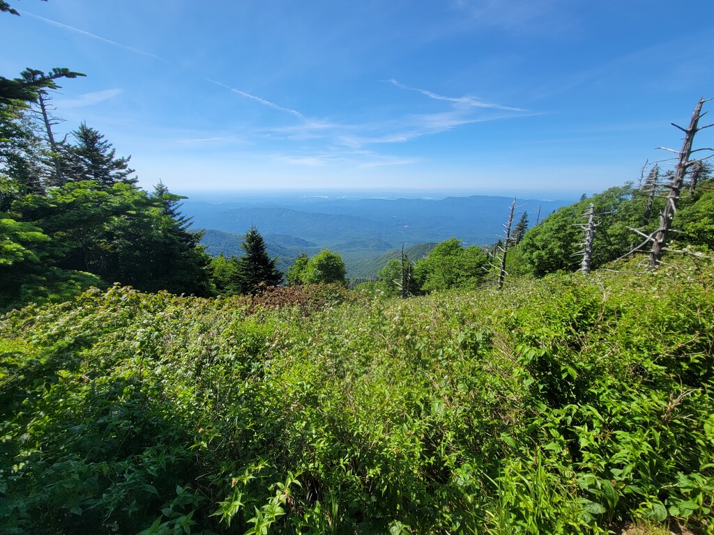
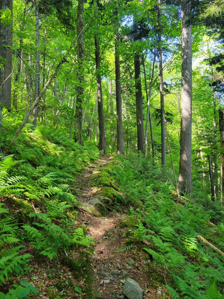
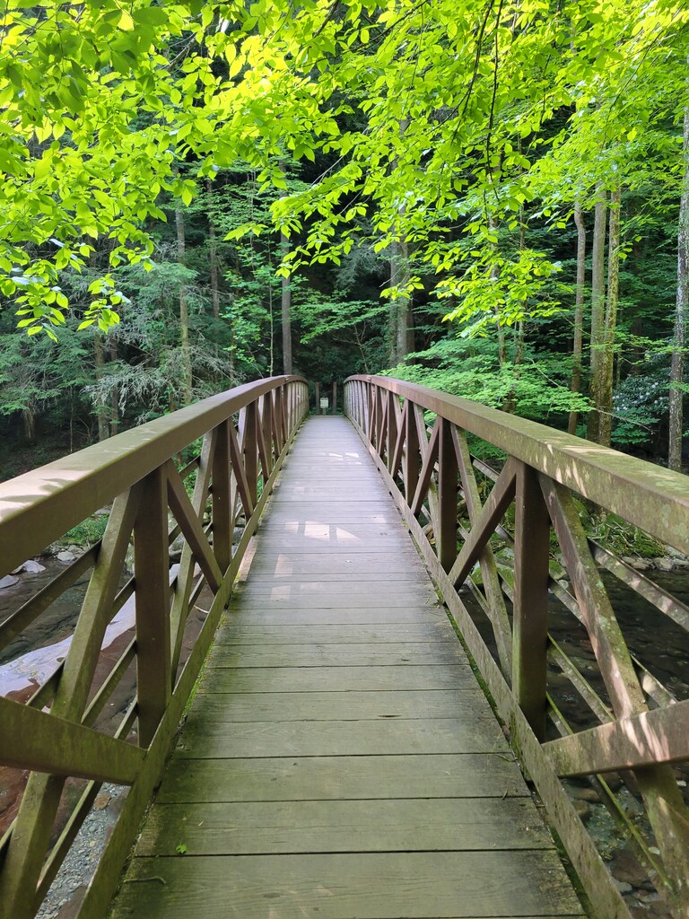
Images